We believe in using the right tool for the right job, so we work with our clients like Turner Mining Group, to provide a solution that works for them. Sometimes that means we do everything from collecting the data to analyzing it and providing analysis and results. Other times, we put a drone in the hands of our clients and they collect the data and we do the analysis; often, we do a combination of both.
Many people look to implement drones and only go as far as to think about the data they are receiving. We want to enable our clients to get more than a number or a pretty picture – more than data – and take that analysis and use it to elevate their level of business intelligence and improve their operations.
That’s what we discussed with Turner Mining Group at the AEC Next conference this week. Continue reading to learn more about how they are utilizing our Drone Solutions Program.
Q: Why did you choose to implement a drone program?
We care about accurate information. Our business requires this to ensure we are serving our customers appropriately. Since we are a service provider if we cannot show the value of our service very clearly, our value proposition becomes less robust.
Q: What are the key benefits you are hoping to realize through the program?
We are able to leverage the technology to show our progress to date, budget and plan for the future, as well as ensure our sites are being managed efficiently. Our clients want a trusted service provider reducing their headaches and this technology allows us to do just that – build trust and ensure traceable information is provided alongside our project execution.
Q: What parts of your organization are impacted by the drone program?
Our drone program impacts primarily the finance and operations functions within Turner Mining Group. We reconcile all billing, forecasting and scheduling to the information drones can provide us.
Q: How has the drone program improved/impacted your operations?
It has allowed us to understand exactly what is happening as a site develops as well as track the progress we are making against our intended timeline. This information allows us to make better decisions to either correct for anything not ideal or accelerate things that are working better than expected.
Q: How has the drone program changed the way you to business?
We include this technology as part of the service we deliver to our customers. We leverage this to build trust and truly become a service provider to the client, not just a vendor. This has differentiated us in the market and has allowed us to demonstrate these “value-adds” during our proposal process to shift the conversation to be about value, not just price.
Q: So, how does the program actually work?
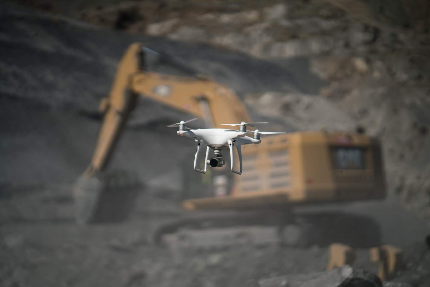
We fly drones regularly to map our sites progression. This is then reconciled against where we should be according daily site reporting and we address any gaps discovered. We also utilize these maps for planning purposes and will often reset or adjust mine plans that we have previously created based on the updated information provided by drones.
Q: So, how does the program actually work?
We fly drones regularly to map our sites progression. This is then reconciled against where we should be according daily site reporting and we address any gaps discovered. We also utilize these maps for planning purposes and will often reset or adjust mine plans that we have previously created based on the updated information provided by drones.
Q: How are you implementing it in your organization?
We implement this technology from the beginning as we start new projects for clients. It is baked into the way we think about our business and has become a critical component to our operational and financial success.
Q: What have been some of the challenges of implementing a program? How have you dealt with those?
The technology is pretty straightforward to utilize and hasn’t been that much of a challenge. We feel the greatest gap is in understanding the datasets created by the technology. Not many professionals are comfortable with geo-spatial information. This is why we utilize a partner who can distill these datasets into easy-to-understand reports or graphics we can share and discuss with our clients. We often make best use of these reports to show trends to our clients or explain why we are deviating from our previously planned schedule. It helps significantly to have simple calculations that show why we billed more than previously expected or might need to adjust budget forecasts in the future. Those can be tough conversations to have with a client without such a straightforward and trusted report