Field Services Improve Client Operations
No matter what industry you are in, you’re busy. We get it. We work with you to determine the insights you need to operate more effectively, and we take care of the rest. All you have to do then is use those insights to make your business decisions.
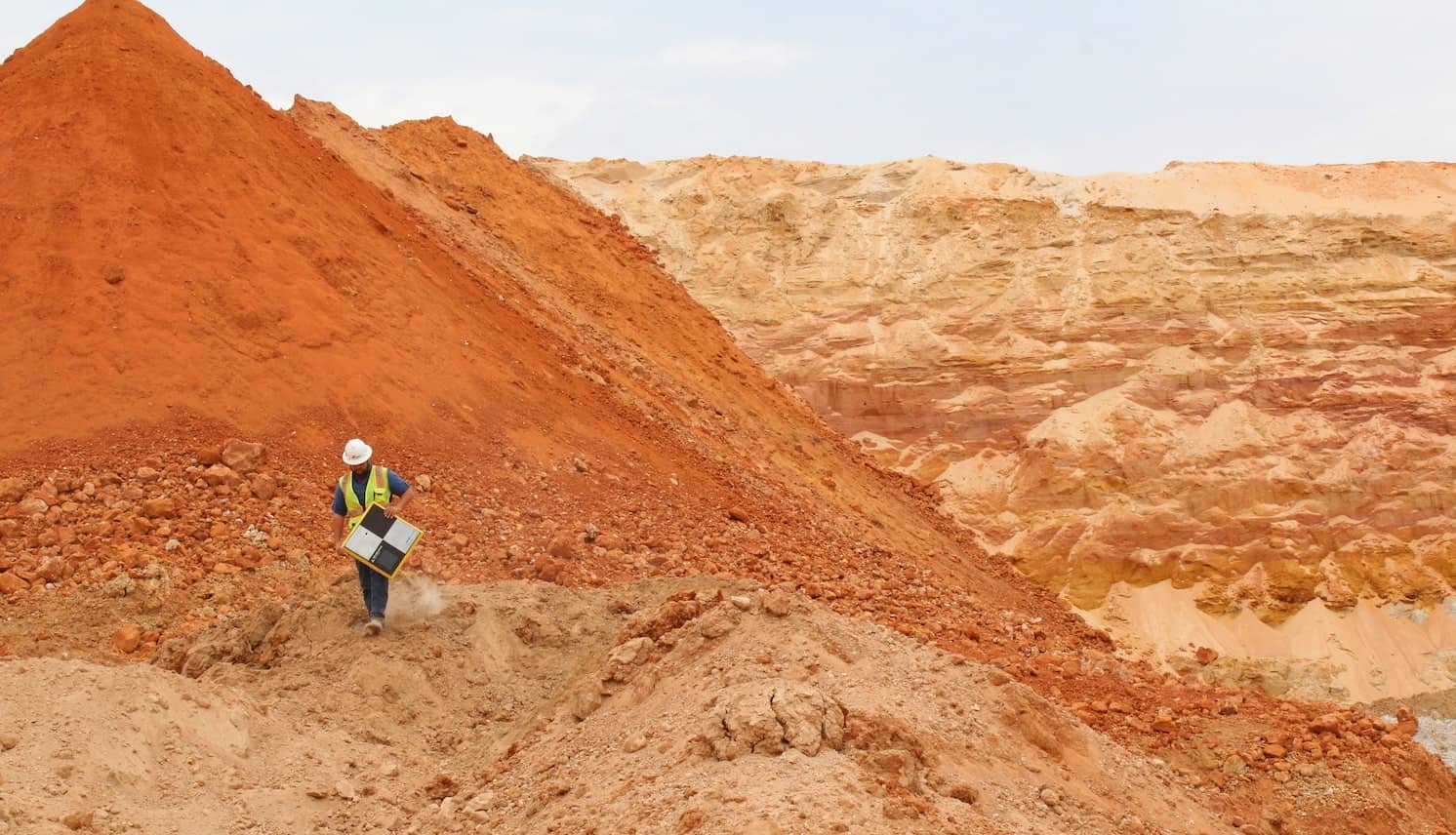
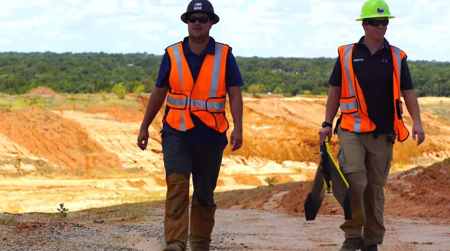
Our nationwide field staff rapidly mobilizes across the country, performing more than 2,500 field service jobs per year.
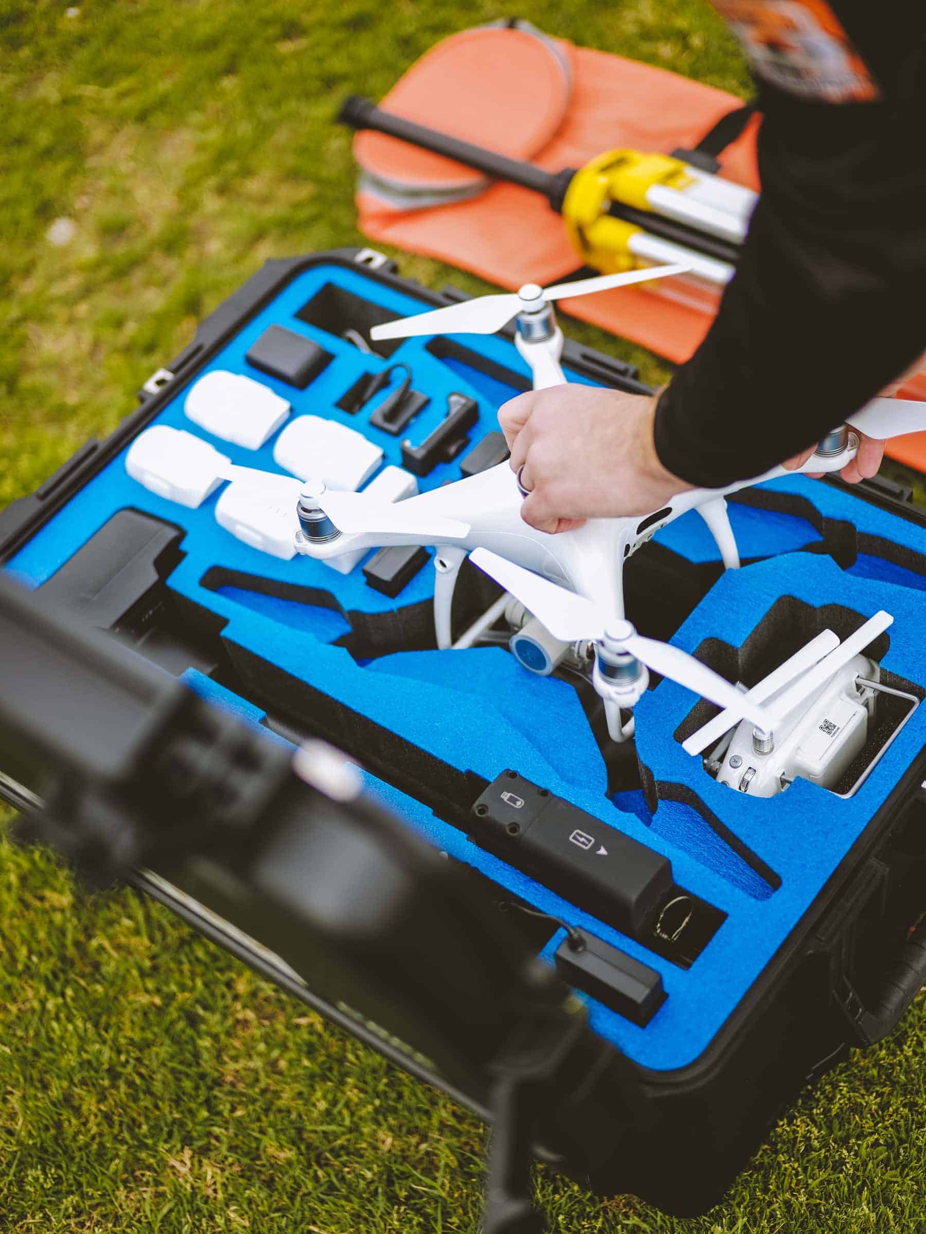
Our Geospatial Field Technicians are professional, well-trained and safety certified. Every member of our field team has a FAA Part 107 License and has received MSHA safety training. The standard operating procedures we’ve established ensure that our employees and your employees are safe while we collect quality data onsite.
Field Services Process
Our field services process has four main parts.
Benefits of Working with Firmatek


Industries Served by Firmatek Field Services

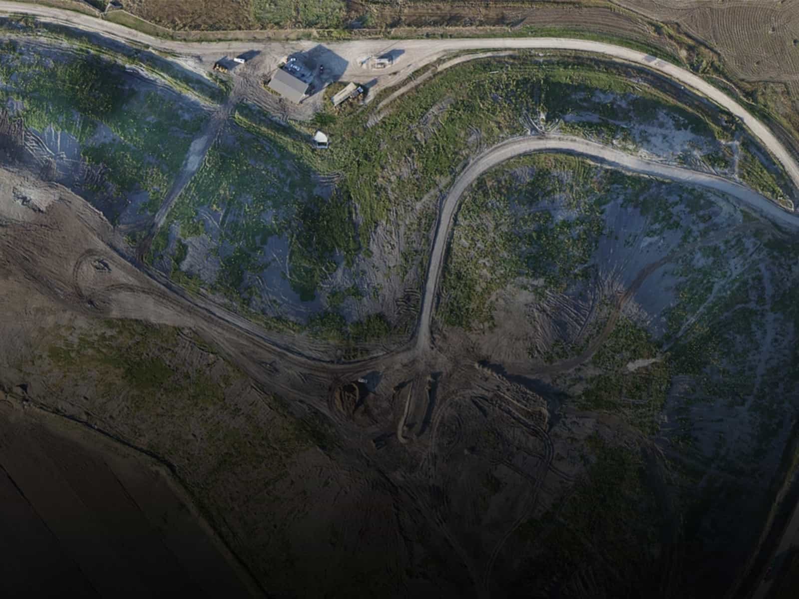
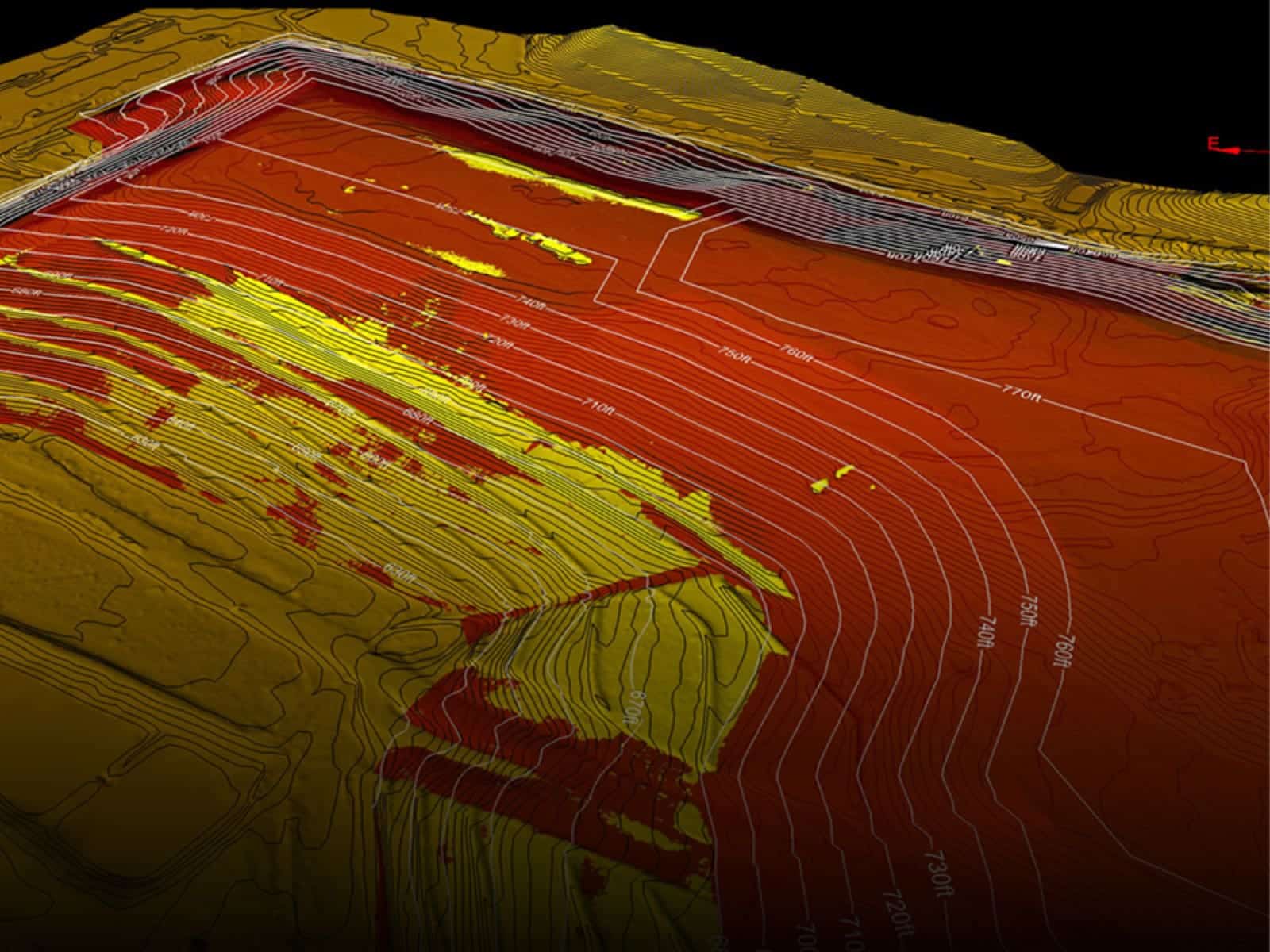
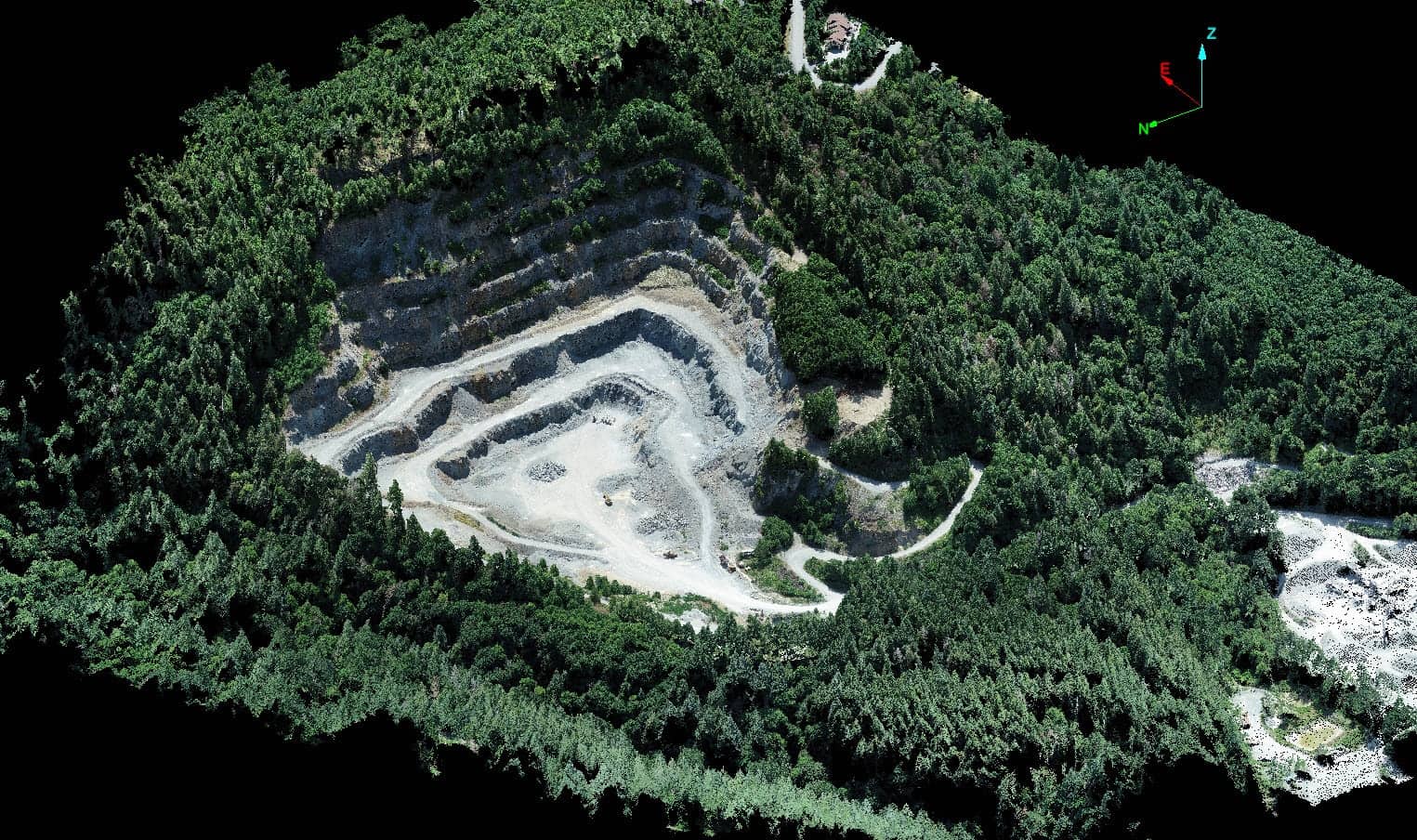
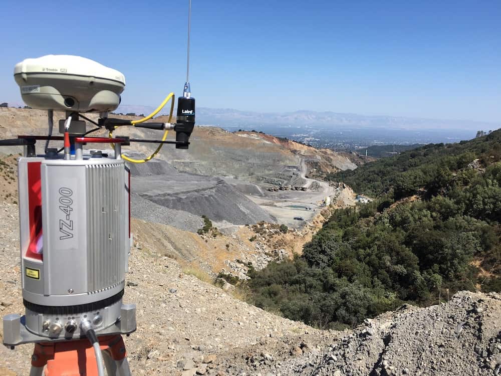
Mining and Aggregates
Leading the industry in stockpile measurement and inventory management for the aggregate mining industry for 30 years, serving 14 of the top 15 producers.

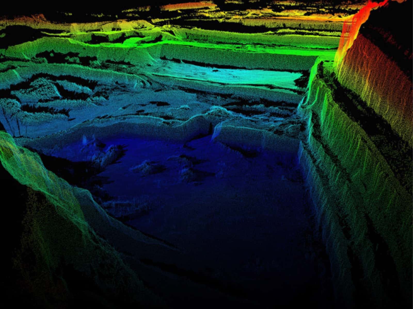
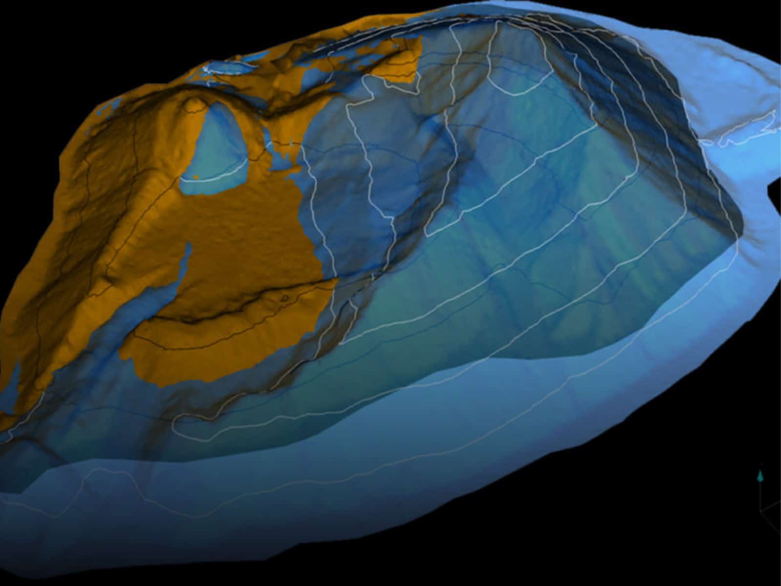
Landfill & Waste Management
Helping landfills maximize and manage their airspace and densities. Firmatek is the national provider of data collection and analysis for one of the largest solid waste companies in the United States.

Electric Utilities
Meeting the needs of transmission and distribution line utilities. We use LiDAR and photogrammetry to collect data for right of way vegetation management, joint use pole audits, and comprehensive visual inspections.

Disaster Response
Collecting aerial imagery with real-time data processing capabilities provides a comprehensive understanding of the conditions at hand in a safe, timely manner. Our team of experienced field technicians is fully equipped for continuous operations and rapid deployment.
Deliverables
Experts in data capture and analysis, we transform data into actionable insights through customized deliverables.