• Skip to main content
Firmatek
Menu
  • Services
    • Field Services
    • Kespry
    • Engineering Services
    • Data Processing
    • Drone Solutions
  • Industries
    • Mining and Aggregates
    • Landfill and Waste Management
    • Electric Utilities
    • Disaster Response
    • Construction
  • Kespry Cloud
    • Kespry Login
    • Kespry Product Releases
  • Firmatek Cloud Login
  • Resources
    • Support
    • Service Offering Details
    • White Papers & Case Studies
    • Blog
  • About Us
    • Contact Us
    • Why Firmatek?
    • Our Team
    • Careers
  • Contact Us

Construction

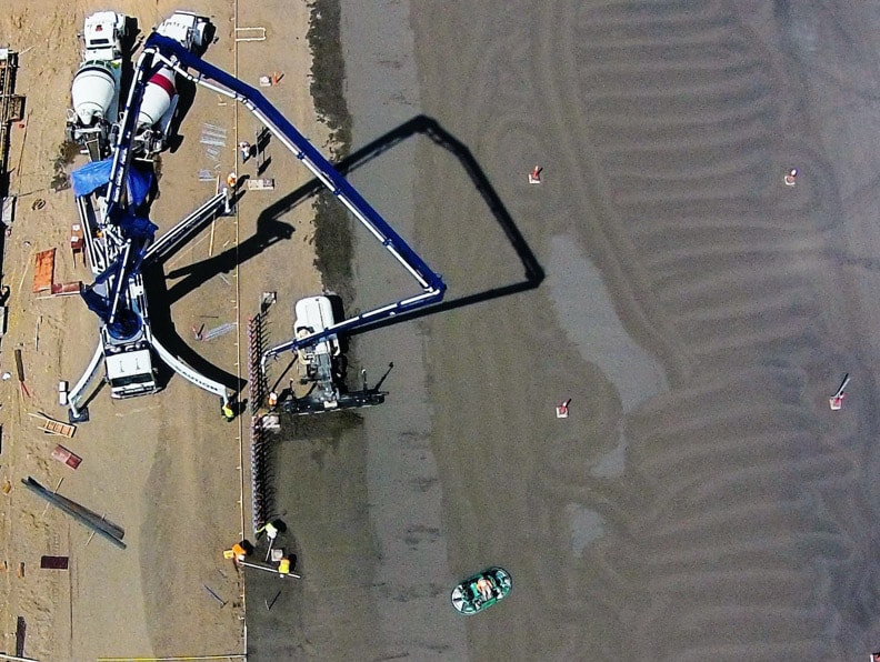
The use of LiDAR and aerial data imagery on construction sites is an innovative approach that can identify better work practices, highlight safety issues and provide a new perspective to owners, contractors and investors.

Manage Your Jobsite with Real-time Insights

We are here to provide you with insights and confidence that will help you improve your operational efficiencies. Our mission is to give you—the companies who build the world—supreme confidence. Frequently capturing reality data, overlaying plans and sharing with stakeholders helps project managers and superintendents stay on schedule and prevent cost overruns from expensive rework.

Firmatek Cloud enables construction managers to quickly and easily capture aerial imagery of a jobsite, gather site data with context, analyze real time data, and distribute it to relevant team members. Our team of expert data processors and engineers can generate maps, point clouds for 3D modeling, stockpile volume calculations and reports to effectively plan your construction projects and monitor site progress over time.

Streamline Operations with Aerial Data
industry-construction-solutions-time

Better Time Management

Save time on site visits and focus on actually managing your projects. Make your weekly and monthly reporting less time consuming by utilizing Firmatek Cloud for measuring, annotating and generating custom reports to share with key contributors and stakeholders.

industry-construction-solutions-insights

Data Driven Insights

Save time and money on surveying your sites. You can fly the drone, or we can do it for you, all at your desired frequency. After collecting your site’s aerial data, our engineering team can measure volume, grade and more. We provide you with the finished reports to utilize for business intelligence.

industry-construction-solutions-workflow

Streamlined Workflow

Create real-time actionable insights to assist project managers, contractors, site supervisors and engineers in tracking construction progress, measuring material stockpile volumes, improving environmental compliance, improving safety and maintaining project schedules and budgets.

Benefits of Firmatek for Construction

Communicate Progress

Provide up-to-date site reports to team members and decision makers. Utilize aerial imagery to identify areas of concern before they become costly mistakes.

Model Accurately

Export data into CAD for efficiency during different phases of construction.

Improve Time Management

Improve jobsite efficiency before and during construction. Save time on site visits and focus on actually managing your projects.

Increase Site Safety

Identify hazardous and high-risk locations without walking the site.

Stay on Schedule

Increase productivity and minimize delays due to unforeseen errors.

Monitor Contractors

Produce an iron clad visual audit trail of contractors work with historical site data.

Is the Construction Industry Ready to Digitize?

Is the Construction Industry Ready to Digitize?

By Andrew Maximow, Chief Drone Officer Could 2020 be the watershed moment when the construction industry finally goes digital? Or is this conversion to digitization only temporary? Will we eventually go back to the manual, paper-based ways of doing things? ...

READ MORE →
The Value of Geospatial Mapping in Construction

The Value of Geospatial Mapping in Construction

Contributed by Jeff Freund, Vice President of Enterprise Sales and Kate Steger, Business Development Representative It’s no secret that construction is continually facing unforeseen problems throughout a project’s life-cycle. There must be a delicate...

READ MORE →
Establishing a Drone Business with Part 107 in Construction

Establishing a Drone Business with Part 107 in Construction

Firmatek mentioned in Commercial UAV News. Drones improve operational efficiency, team safety, and allow companies to better utilize their data by creating actionable insights. One way construction organizations are implementing the use of drones throughout...

READ MORE →
previous arrow
next arrow
Is the Construction Industry Ready to Digitize?
The Value of Geospatial Mapping in Construction
Establishing a Drone Business with Part 107 in Construction
previous arrow
next arrow

Deliverables

Experts in data capture and analysis, we transform data into actionable insights through customized deliverables.

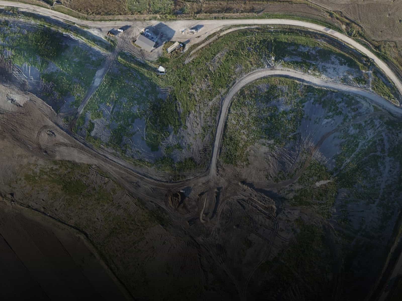
Ortho Imagery

Ortho Imagery

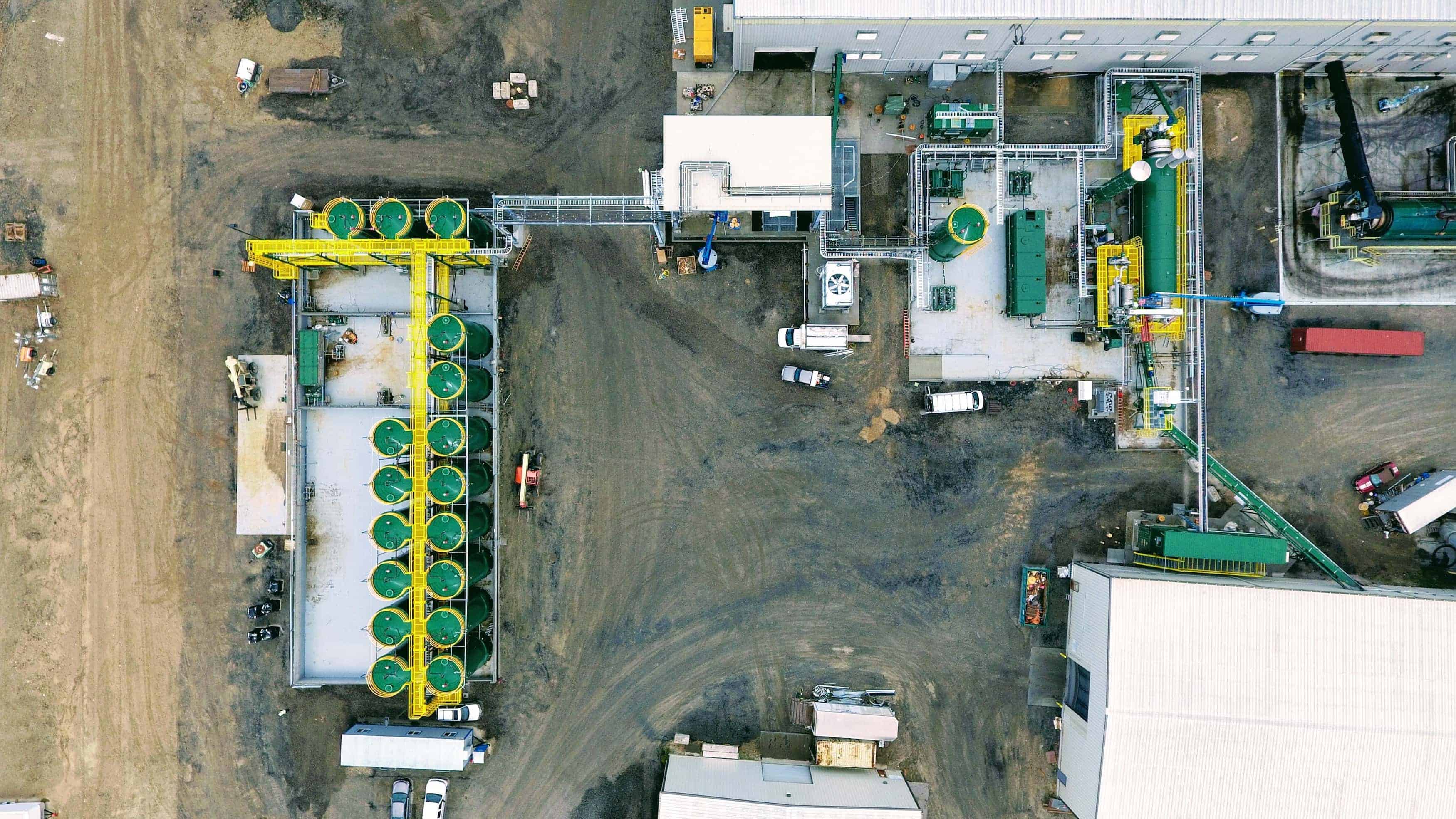
An orthophoto, orthomosaic or orthoimage is an aerial photograph geometrically corrected so that the scale is uniform. Unlike an uncorrected aerial photograph, an orthophoto can be used to measure true distances because it is an accurate representation of the Earth’s surface, having been adjusted for topographic relief, lens distortion, and camera tilt.

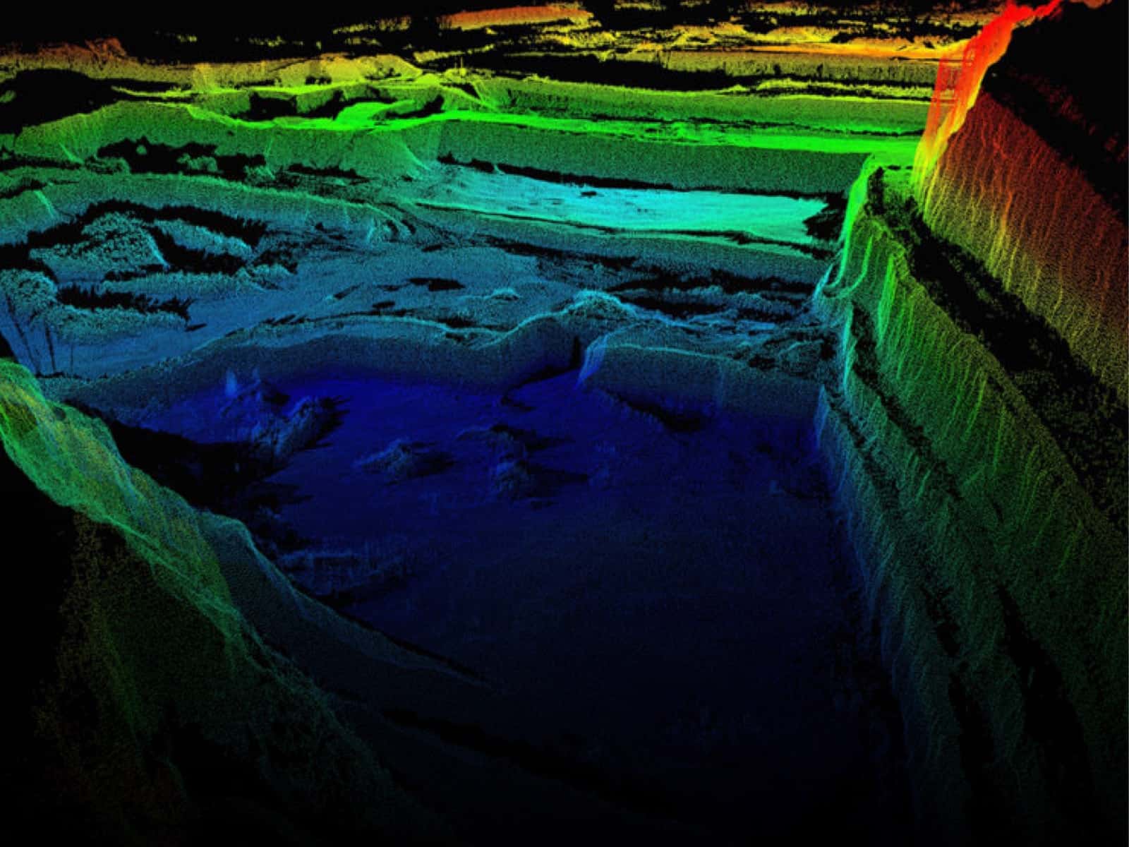
LAS Point Cloud

LAS Point Cloud

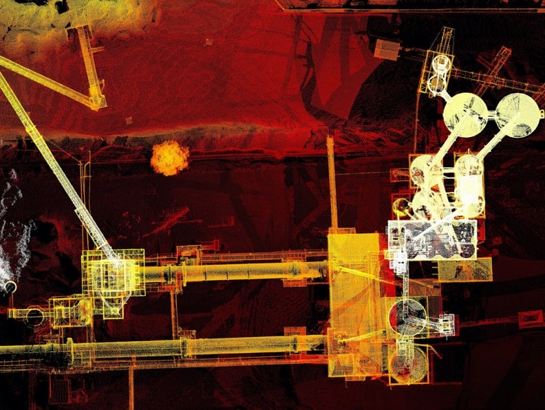
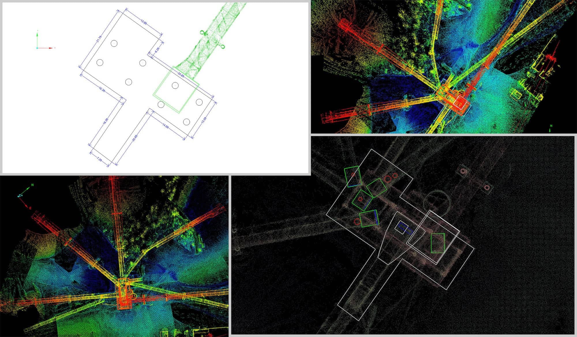
A point cloud is a set of data points in a coordinate system. In a three-dimensional coordinate system, these points are usually defined by X, Y, and Z coordinates, and often are intended to represent the external surface of an object. LiDAR scanners and Drones gather point measurements from real-world objects or photos for a point cloud that can then be translated to a 3D mesh or CAD model.

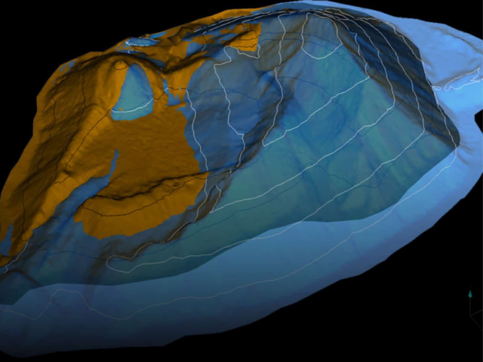
Stockpile Volume

Stockpile Volume

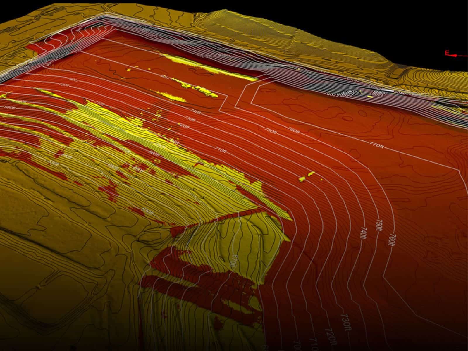
Generate 3D models and accurate volumes of indoor and outdoor stockpiles. Our LiDAR laser scanning and Aerial Data reporting help you survey stockpiles safely, accurately and efficiently to meet reporting and contractor deadlines.

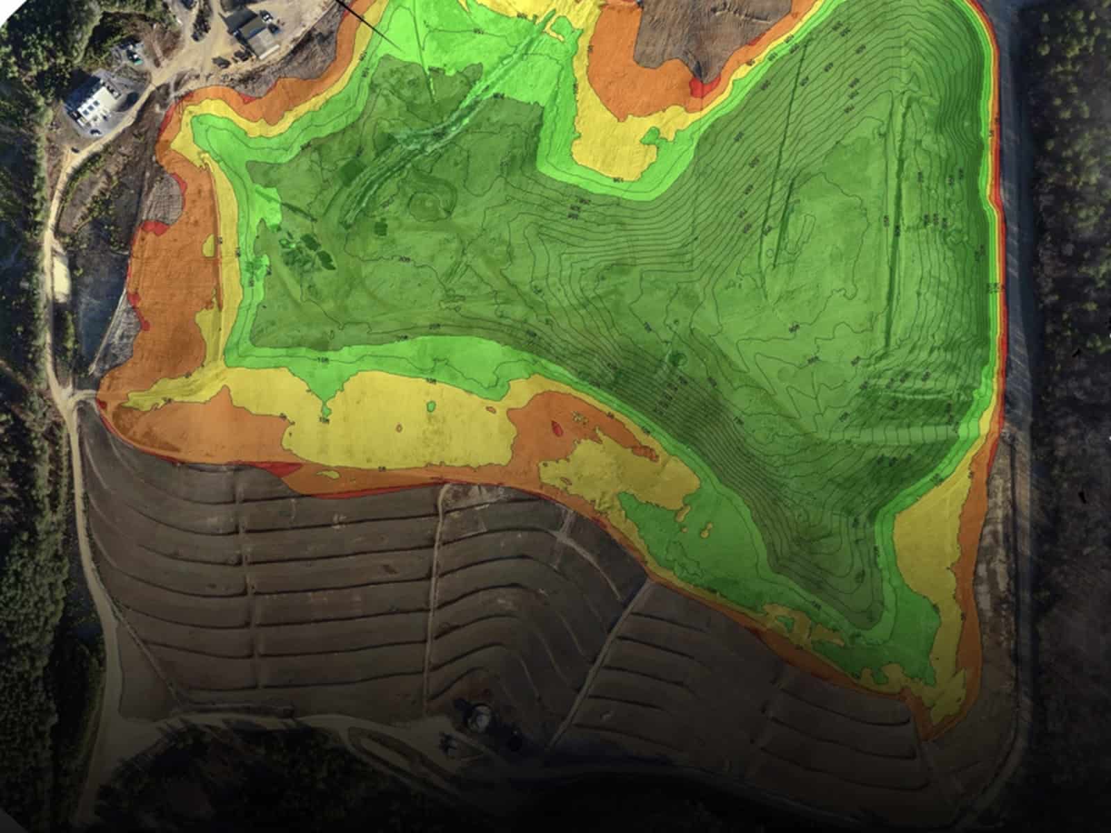
Cut and Fill Calculations

Cut and Fill Volume Calculations

We reduce the manual work needed to perform a cut-and-fill. Once LiDAR or Drone Aerial Data is collected, our DARP platforms enables cloud processing and export into native Autodesk file formats like an RCS, a point cloud file that can be used in AutoCAD.

Topographic CAD

Topographic CAD

Our Data Analysis and Reporting platforms uses LiDAR and Drone Aerial Data to provide all data points necessary to create fast and reliable terrain models, contours and volume calculations.

previous arrow
next arrow

Transform your site data into powerful insights.

Get In Touch
Firmatek

210-651-4990

info@firmatek.com

8620 N New Braunfels Ave, Ste. N105
San Antonio, TX

Services

  • Field Services
  • Drone Solutions
  • Data Processing
  • Engineering Services
  • Industries We Serve

Company

  • About Us
  • Our Team
  • Careers
  • Blog
  • Resources

Connect With Us

Facebook LinkedIn Twitter Instagram

Subscribe to our Newsletter

Subscribe

© Firmatek. All Rights Reserved. Privacy Policy. Terms of Use.

We use cookies on our website to give you the most relevant experience by remembering your preferences and repeat visits. By clicking “Accept All”, you consent to the use of ALL the cookies. However, you may visit "Cookie Settings" to provide a controlled consent.
Cookie SettingsAccept All
Manage consent

Privacy Overview

This website uses cookies to improve your experience while you navigate through the website. Out of these, the cookies that are categorized as necessary are stored on your browser as they are essential for the working of basic functionalities of the website. We also use third-party cookies that help us analyze and understand how you use this website. These cookies will be stored in your browser only with your consent. You also have the option to opt-out of these cookies. But opting out of some of these cookies may affect your browsing experience.
Necessary
Always Enabled
Necessary cookies are absolutely essential for the website to function properly. This category only includes cookies that ensures basic functionalities and security features of the website. These cookies do not store any personal information.
Non-necessary
Any cookies that may not be particularly necessary for the website to function and is used specifically to collect user personal data via analytics, ads, other embedded contents are termed as non-necessary cookies. It is mandatory to procure user consent prior to running these cookies on your website.
SAVE & ACCEPT