Integrating Data on Landfills Case Study
January 19, 2024
With the recent innovations brought about in drone technology, procuring and using digital geospatial data is becomin...
With the recent innovations brought about in drone technology, procuring and using digital geospatial data is becomin...
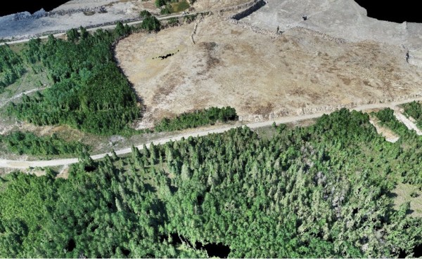
Ground topography scanning has it’s challenges. Undeveloped land, thick vegetation, and sheer size are just a few o...
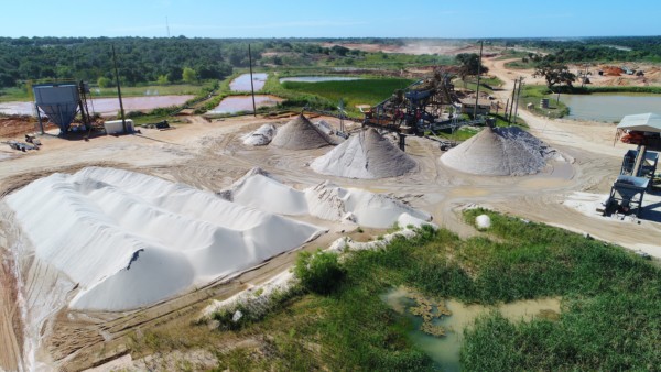
From wheel and tape, to drone solutions, Aggregate Mining companies have continued to develop innovative solutions fo...
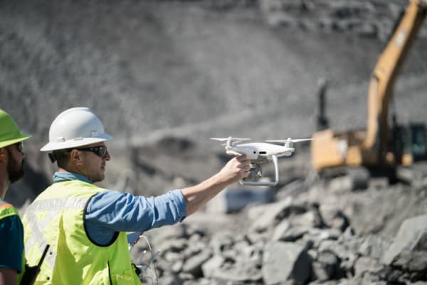
Turner Mining Group continues to embrace new technology to increase efficiency and keep their employees safe. Drones...
We know that geospatial data collection is increasingly accessible. But data is more than just a number. Real solutio...
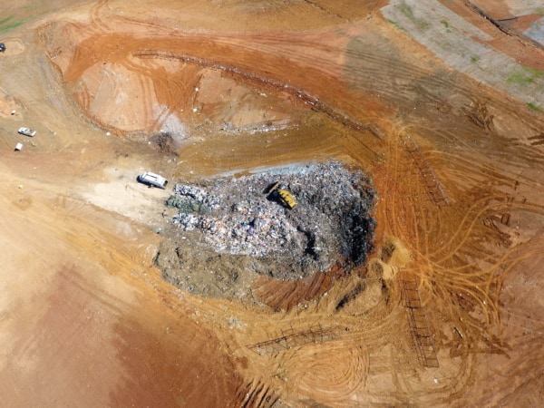
Leveraging regular, aerial drone landfill surveys provides timely compaction and airspace measurements, helping teams...
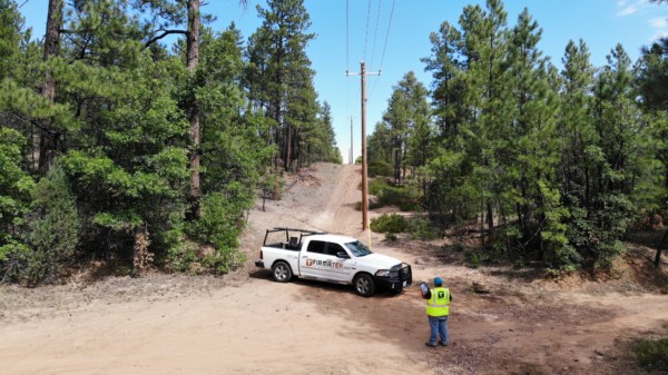
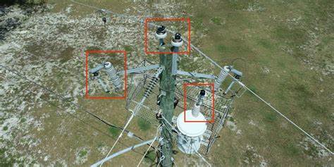
Increasing efficiency, reducing SAIDI time and improving the business bottom line. Challenge Firmatek’s electric ut...
Firmatek’s ability to offer a faster, safer and more accurate inspection solution for a fraction of the cost helped...
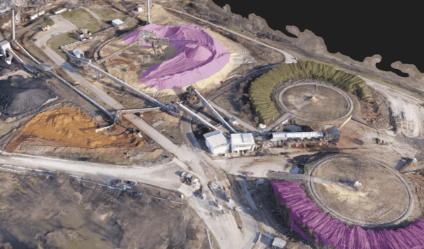
Firmatek equipped a paper mill client with the ability to capture more frequent data, improve the accuracy of volumet...

