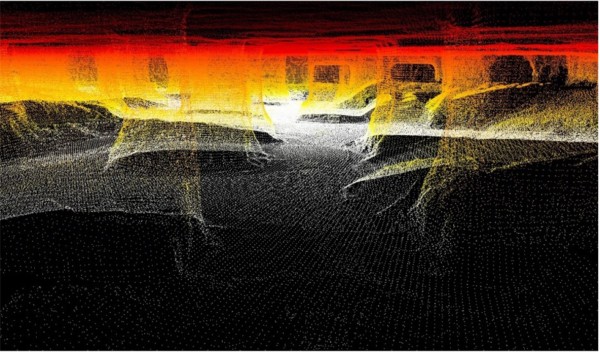
UAV LiDAR Ground Topography Scanning Case Study
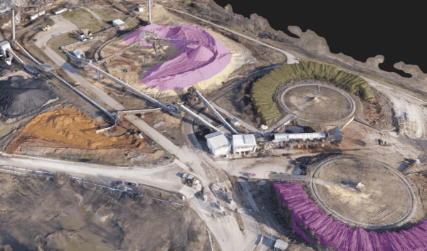
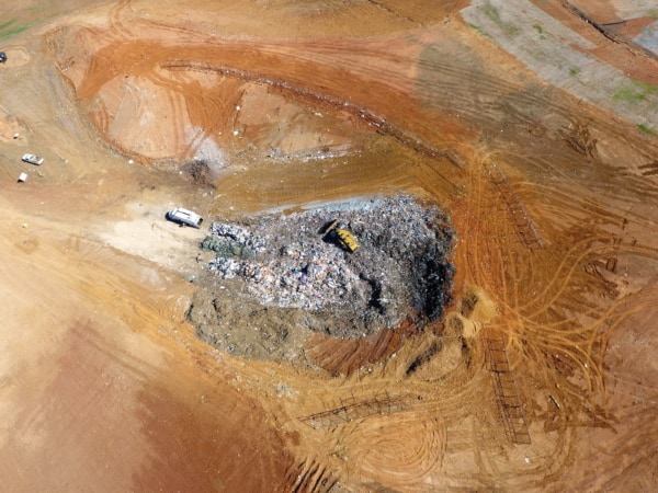
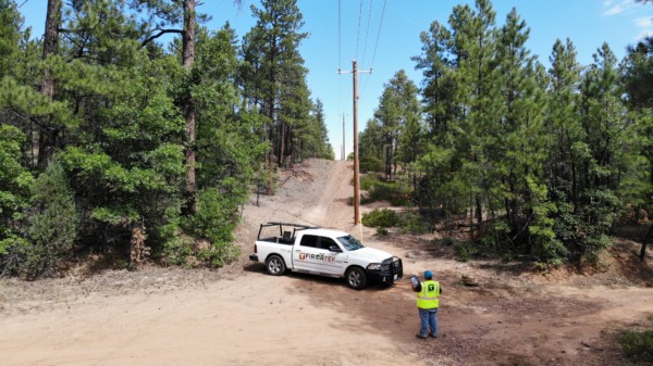
Ground topography scanning has it’s challenges. Undeveloped land, thick vegetation, and sheer size are just a few of the obstacles that can stand in the way of solely using a photogrammetry drone.
UAV LiDAR is a great solution. In this case study, we provide an in-depth explanation of a client-requested ground topography scanning project. Learn how we use GeoCue Group, Inc.’s True View 410 3D imaging system (3DIS) to complete the scope of work. Authored by Caleb Cass, PE, Vice President of Engineering