Integrating Data on Landfills Case Study
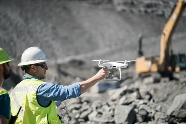
With the recent innovations brought about in drone technology, procuring and using digital geospatial data is becoming a necessary and valuable commodity.
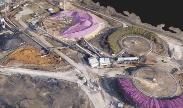
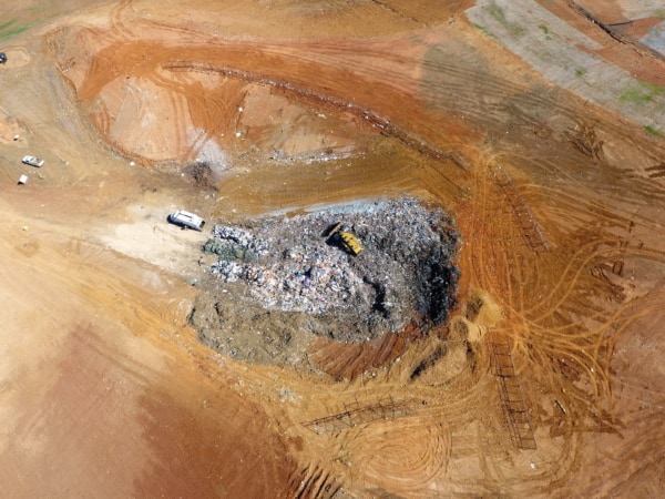
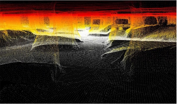
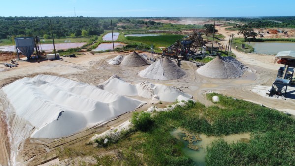
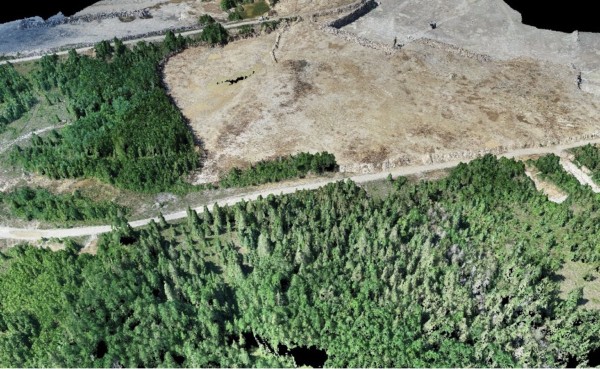
This white paper will look into the geospatial data that is collected and produced for the operation, permitting, tracking, and planning of solid waste sites, including technologies such as laser (Lidar) scanning, drone photogrammetry, GPS surveying, and digital design files. These digital data types are important for managing landfill operations and planning activities.
Download our case study by our Vice President of Engineering, Caleb Cass PE, to learn more.