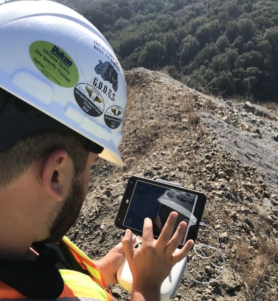
By Andrew Maximow, Chief Drone Officer.
We know that a one-size-fits all solutions in our industry isn’t practical. To serve our clients as trusted advisors and industry experts, our team researches and tests best methods for data collection and processing. In a previous blog post, Increasing Business Intelligence with Rapid Photo Processing we examined two different process flows. I discussed the potential benefits of rapid photo processing using Pix4D Fields over the traditional method, Pix4D Desktop. The traditional method requires a data upload, a handoff between multiple resources, and hours of time to generate a 2D ortho.
To recap, the benefits of rapid photo processing using Pix4D Fields are:
- The same field technician collects and processes the data locally.
- No need to upload the data to a “high end” computer workstation.
- Photo processing takes minutes, not hours to complete.
- Data collection is more efficient using 50% overlap rather than 70-80%.
For example, a data-set containing over 500 photos took less than 5 minutes to process using Pix4D Fields, which would normally take more than 1 hour using Pix4D Desktop.
As a follow-up to my previous blog post, I examined the results side-by-side knowing that the quality of rapid photo processing would be diminished. My research led me to consider whether the results were good enough to meet the client requirement.
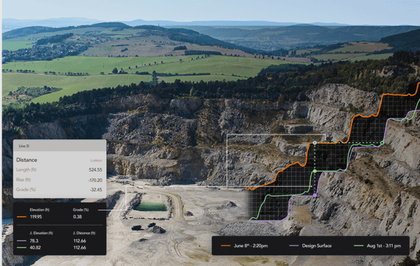
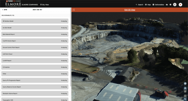
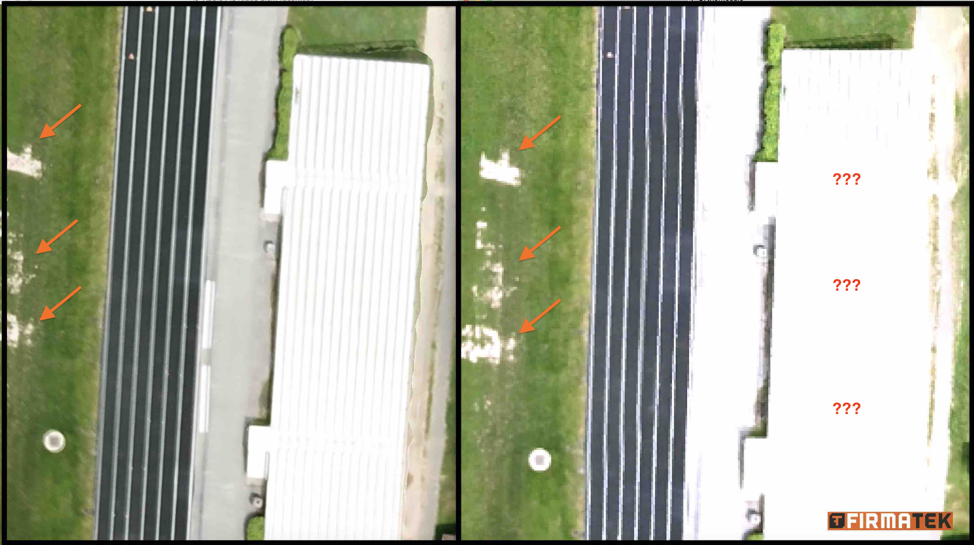
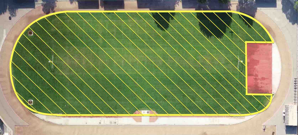
Take a look at the snapshot below. You’ll see the results of a 2D ortho processed with Pix4D Desktop on the left, compared to the result using Pix4D Fields on the right.
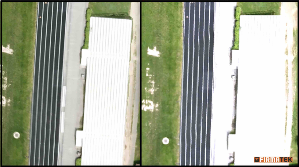
The first noticeable difference is that the 2D ortho generated by Pix4D Fields is not full resolution. This limits the amount of fine detail in the resulting image. As of this writing, Pix4D claims that an upgrade to full resolution is imminent. Additionally, notice the light-colored areas with little contrast appear to be washed out. There is also a lack of detail and definition in the white colored bleachers and the sandy pathway in front of and behind the bleachers in the photo on the right. However, the damage on the grassy athletic field is clearly visible. With this information in mind, I reviewed the end-user requirements with our client.
The client confirmed the deliverables will be used as follows:
- Identify significant areas of damage on the athletic fields
- Identify major sections containing potholes and large cracks in the parking lots that may need further detailed inspection.
- Calculate the linear feet of fencing around the school grounds.
- Calculate area of grassy areas to be mowed by a subcontractor.
- Calculate area of parking lot to be resurfaced.
The data will be primarily used for linear and area calculations and to alert maintenance personnel of potential problems that need to be inspected in greater detail.
This is not a detailed inspection report. After comparing the data to the client’s requirements, we determined the quality of the imagery created by the rapid photo processing using Pix4DFields is more than “good enough” to meet the end user requirements.
Utilizing the best technology available helps ensure that we can equip our clients with the business intelligence that they need to improve their operations. By understanding the client’s pain points and business problems, Firmatek was able to determine the corresponding needs. Identifying this information helps us determine the right tool for the job and provide actionable deliverables to our client.
Coming soon: In a future blog post I will compare the workflow and quality of similar rapid photo processing Pix4DFields vs. DJI Terra vs. Drone Deploy.
Other Blogs by Andrew:
3 Challenges of Using Drones for Indoor Inspection
Increasing Business Intelligence with Rapid Photo Processing
Firmatek’s CDO Addresses Security Concerns with Chinese Drones
3 Considerations for Quality Data Collection in Drone Mapping