Published in CIO Applications Drone Technology.
Mapping quarry faces or material stockpiles or landfills has traditionally been a manual process and being such, a daunting task. It is dangerous, expensive, time-consuming, and companies that need to do it could do it only a handful of times a year, even though they may have wanted to do it often. San Antonio based, Firmatek, aims to break the paradigm. An industry leader in stockpile measurement and inventory management, the firm uses drones for aerial imaging, making the process easier, more accurate, cost-effective, and safer, while also enabling clients to increase the measurement frequency.
Started in 1988 as a pioneer in the use of hand-held lasers for stockpiles, Firmatek revolutionized the way 3D imaging, volumetric calculations, and inventory numbers were captured with the incorporation of LiDAR technology. Firmatek continues to actively use its mobile LiDAR units to collect data for services like 3D underground scanning and mine mapping. Having quickly capitalized on the drone industry, Firmatek uses drones to collect mapping data from its clients’ sites and has now integrated the technology into its service offering.
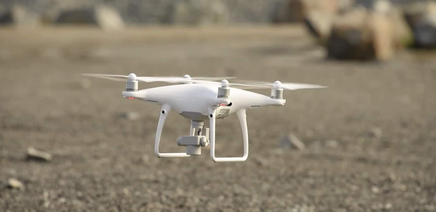
Firmatek provides the DJI Phantom 4 Pro and the Sensefly eBee professional mapping drones depending on a client’s area and site requirements.
Firmatek offers its customers a value choice; either providing all the hardware and software necessary for clients to fly and gather data themselves, or to fly a client’s site upon request. Firmatek typically processes the data monthly even for clients who supply and fly their own drones. It offers a range of deliverables with the drone program, including topographical CAD, stockpile volume measurement, pit mapping, and cut and fill volumes. Custom requests tailored to the client’s specific needs are also possible.
The skilled processing team at Firmatek analyzes the data and combines it with other data sets to create actionable business insight for its clients.
“We partner with our clients to figure out what piece of technology is best for their site and for their particular requirements. While we have certain things that are common across our solutions, we will work directly with the clients to see what they are really looking for and how we can help them solve their problems,” says Lauren Elmore, President of Firmatek.
A client with a quarry at a port approached Firmatek for its drone solution when it needed an easier way to monitor a large quantity of material moved by ships at the end of every week. Firmatek provided the drones and analyzed the data, which refined the process, making it much faster and safer, negating the need for manual measurement to approximate the quantity of material. This empowered the client with accurate and trusted inventory numbers, giving them valuable time back in their work week.
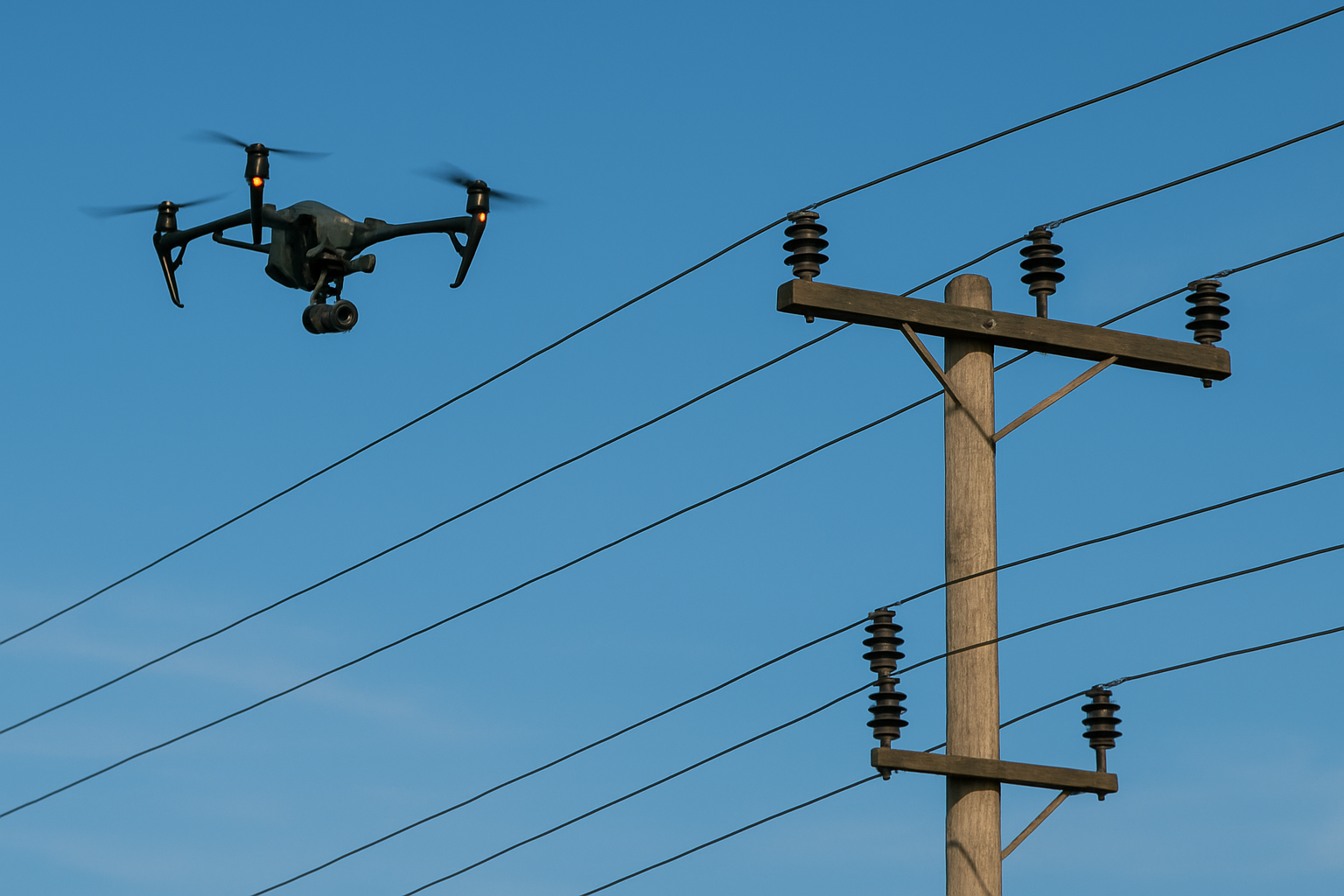
Firmatek strives to find better ways to help customers, by experimenting with new drones and sensors or testing artificial intelligence that will help automate workflows, as well as open-up a variety of other service offerings. Currently, it is working on adding thermal cameras to its drones to detect hotspots and inspect any client equipment issues, while also working on ground control targets to achieve high absolute accuracy.


