
Blog Series: What’s Your Why, Roger Sterry
By Roger Sterry, President of Client Services After decades in this industry, I’ve found that there is still much t...
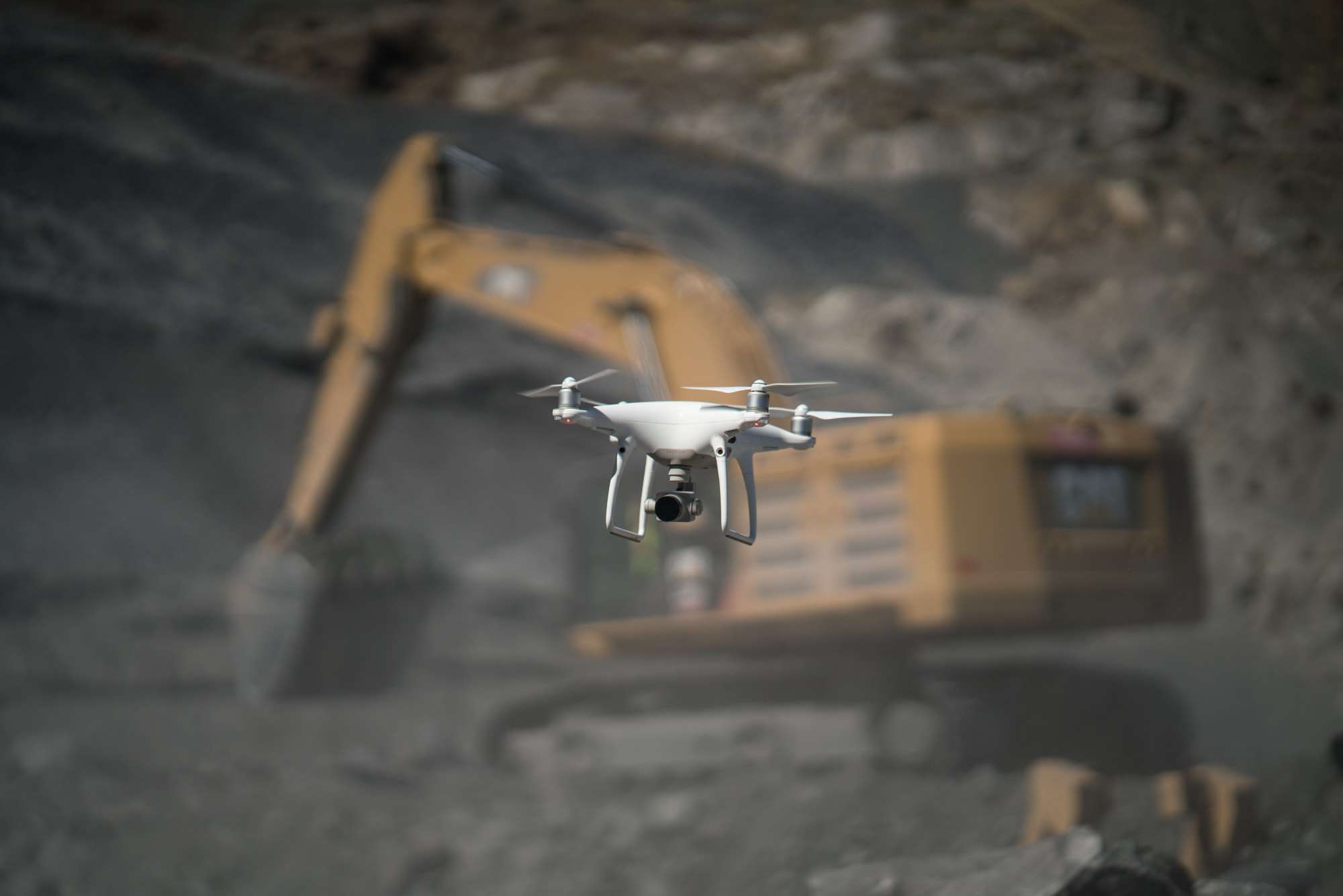
3 Considerations for Quality Data Collection in Drone Mapping
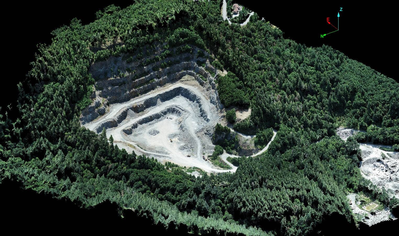
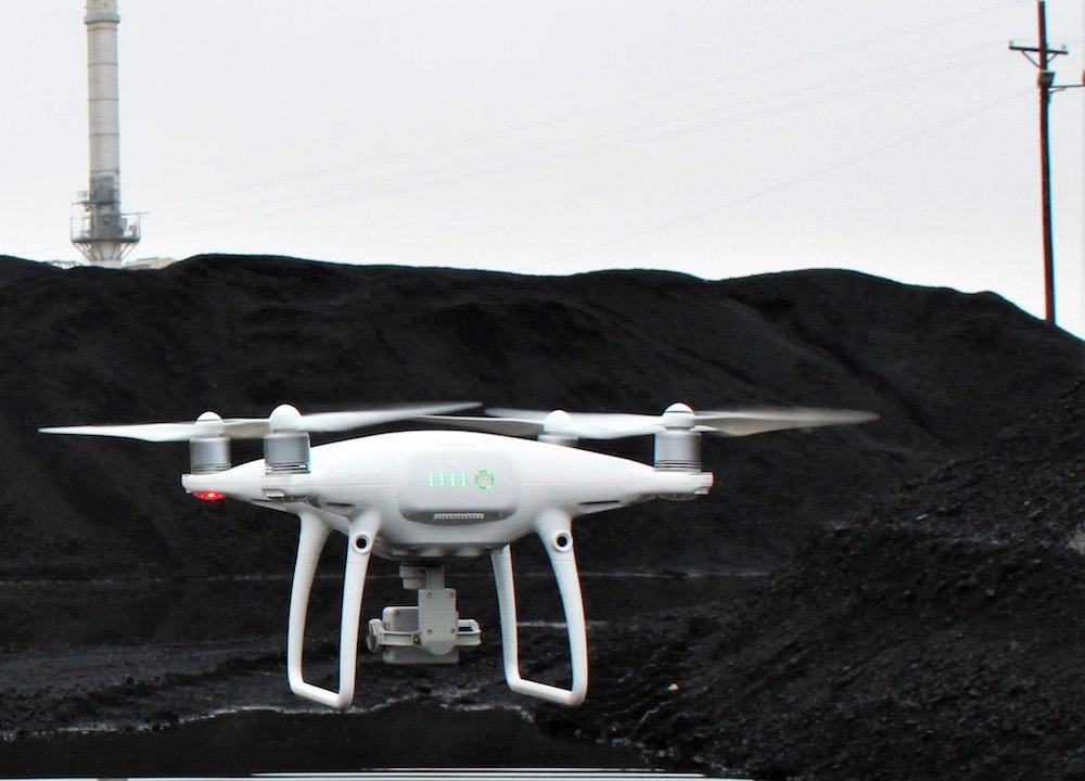
By Andrew Maximow, Chief Drone Officer Mapping is one of the least understood applications for drones, particularly w...
What We Learned at the Energy Drone and Robotics Summit
By Kate Steger, Business Development Representative As we’ve continued to succeed in the mining and aggregates indu...
White Paper: Guide to Building and Implementing an Enterprise Drone Program
By Lauren Elmore, President of Firmatek As many industries are adopting drone technology across their entire organiza...
Innovation at Firmatek Goes Beyond Tech Development
By Lauren Elmore, President of Firmatek Innovation isn’t just about new technology. At Firmatek, we are constantly ...

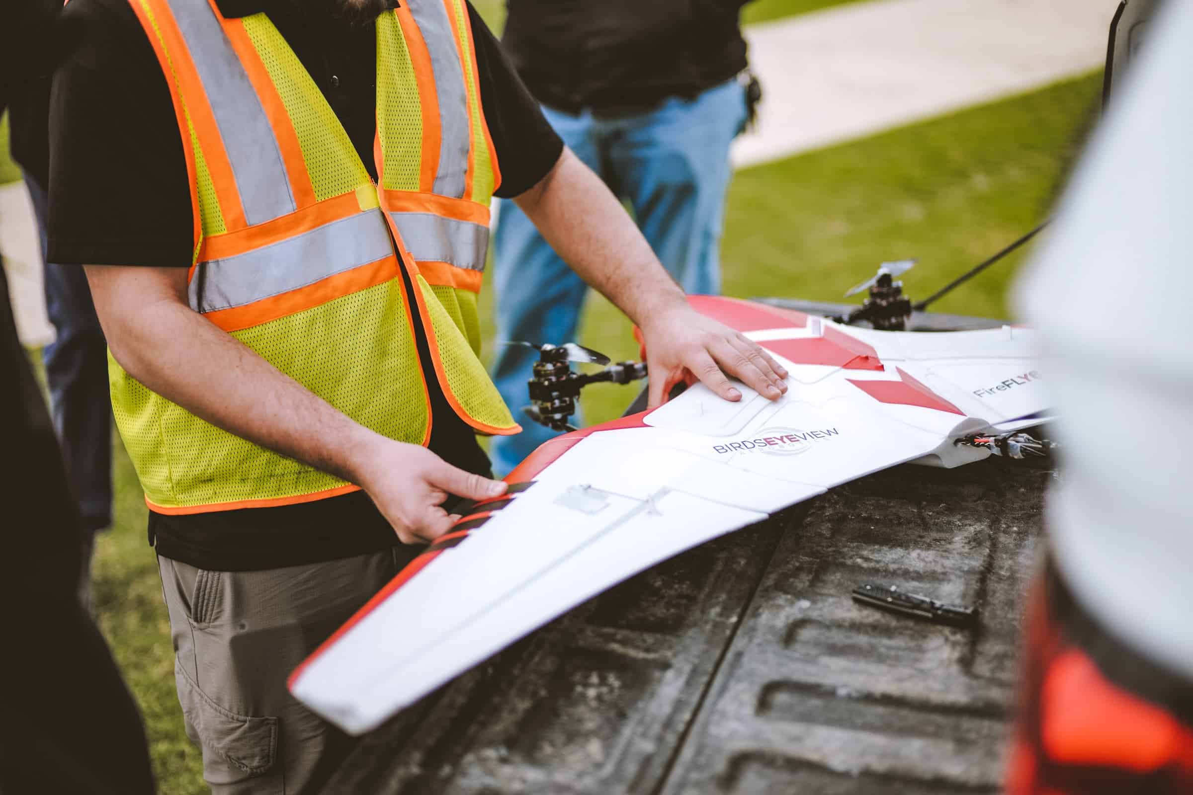
Guide to Drone Series: Which Photogrammetric Platforms Fit Your Solution?
By Steele Olsen, Geospatial Field Technician Serving our industry to the best of our ability requires us to act as
Why Turner Mining Group Uses Firmatek Drone Solutions
We believe in using the right tool for the right job, so we work with our clients like Turner Mining
...
Guide to Drone Series: What Type of Analysis Will You Perform?
By Andrew Maximow, Chief Drone Officer In the first blog of our Guide to Drone Series, we discussed the criteria
...
Blog Series: What’s Your Why, Andrew Maximow
In the second post in our series “What’s Your Why,” Chief Drone Officer, Andrew Maximow, talks about his why. F...
Why Firmatek Doesn’t Hire Drone Pilots
By Andrew Maximow, Chief Drone Officer. Every week I’m asked if Firmatek is hiring drone pilots. After all, as ...
The Value of Geospatial Mapping in Construction
Contributed by Jeff Freund, Vice President of Enterprise Sales and Kate Steger, Business Development Representative I...
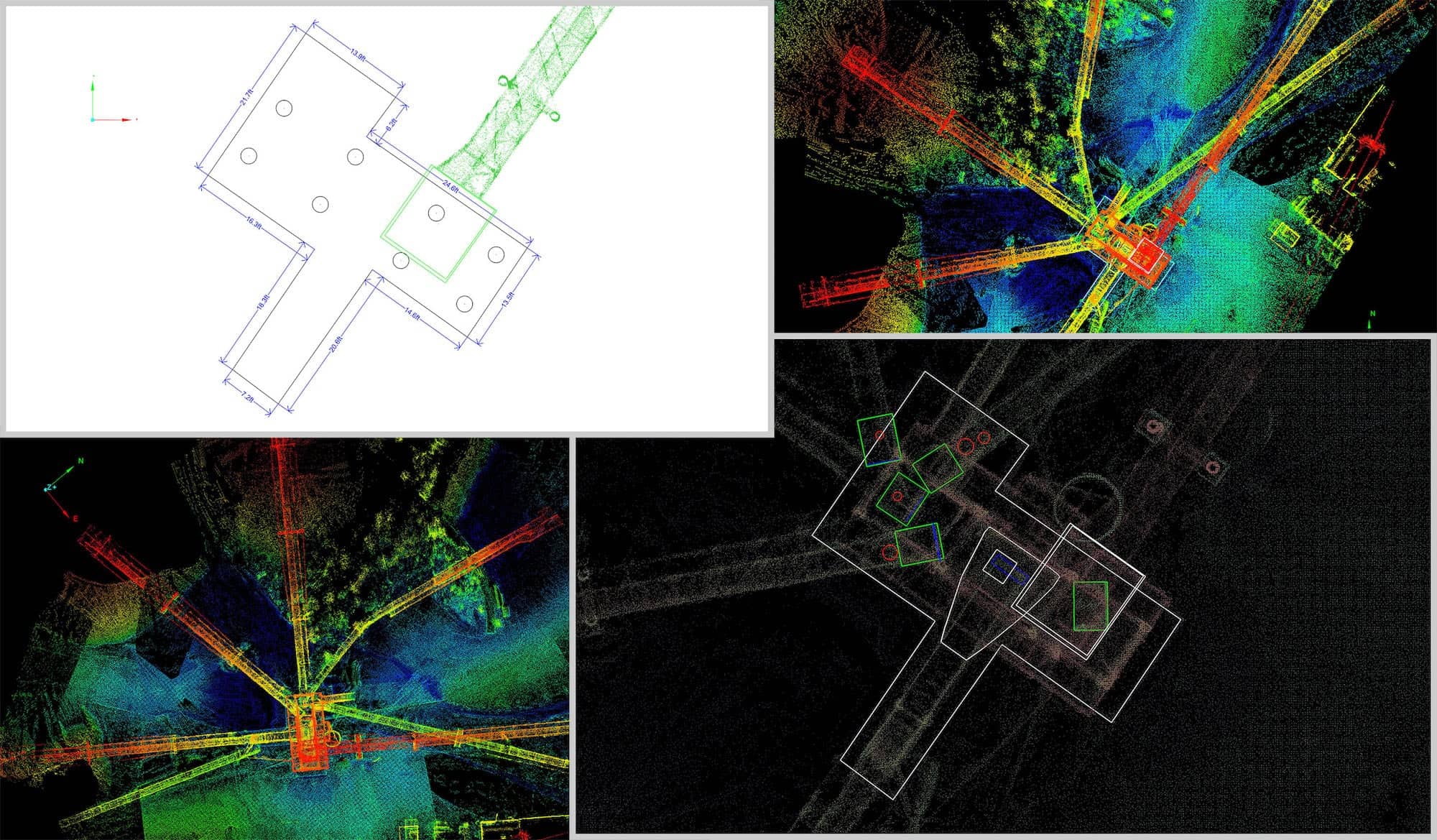
Cut & Fill Calculations: Why Technology is a Game Changer for Dirt Moving Companies
By Lauren Elmore If you’re a company that moves dirt, you know that the most important numbers are the ones
...