By Andrew Maximow, Chief Drone Officer
Published in CIO Applications.
At Firmatek, 2020 was a banner year in many ways. We adapted in the midst of a pandemic, utilized innovative technology, and introduced service to the Electrical Utilities industry. Hardware from new data collection tools and measurement software from our innovative Firmatek Cloud platform transformed the way we collaborate with clients, visualize results, and ultimately how we deliver insights to our customers. We learned that the insights derived from our tools and data, not just the data itself, provide the greatest value to utilities.
Utilities continue to face challenges from increasing energy demands, aging infrastructure, network resiliency, risk reduction, and regulation. At Firmatek, we optimized around the why, what, and how to help them tackle some of these adversities. As we begin 2021, we believe that focusing on the following three areas will deliver exceptional value to our clients in the Electrical Utilities industry:
- Business insights, not just tools and data.
- Insights via connected data.
- The right tool for the job; aerial, mobile, and simple.
Business Insights
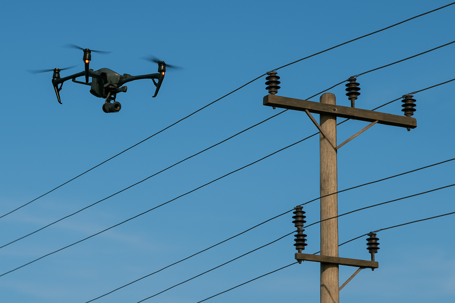
Understanding why the above three areas add value helps identify the most valuable insights, which drives which tools are needed to collect what data and how. Wildfires, powerful storms, increased energy demand, and aging infrastructure have accounted for the vast majority of challenges faced by electrical utilities. This has created a sense of urgency among multiple stakeholders including power-gen, transmission, asset management, and distribution organization to take action. Several use cases have emerged to address these needs. For example, vegetation encroachment and inspection are not new service offerings to the industry, but advanced tools and techniques are now available to perform these tasks more frequently, on-demand less expensively, and with greater safety. The industry as a whole has shifted to a more proactive and predictive approach down to the individual network component level. Now, you can analyze which tree might fall and which component needs to be replaced before the event occurs. This level of analysis requires new tools, more data, and innovative techniques to reach that granular component-level detail. We predict utilities will not invest and build these capabilities but instead rely on trusted, capable partners to deploy the necessary data collection and analysis tools to deliver results. The best partners will deliver business insights that improve network performance and resiliency, all while reducing cost and risk.
Connected Data
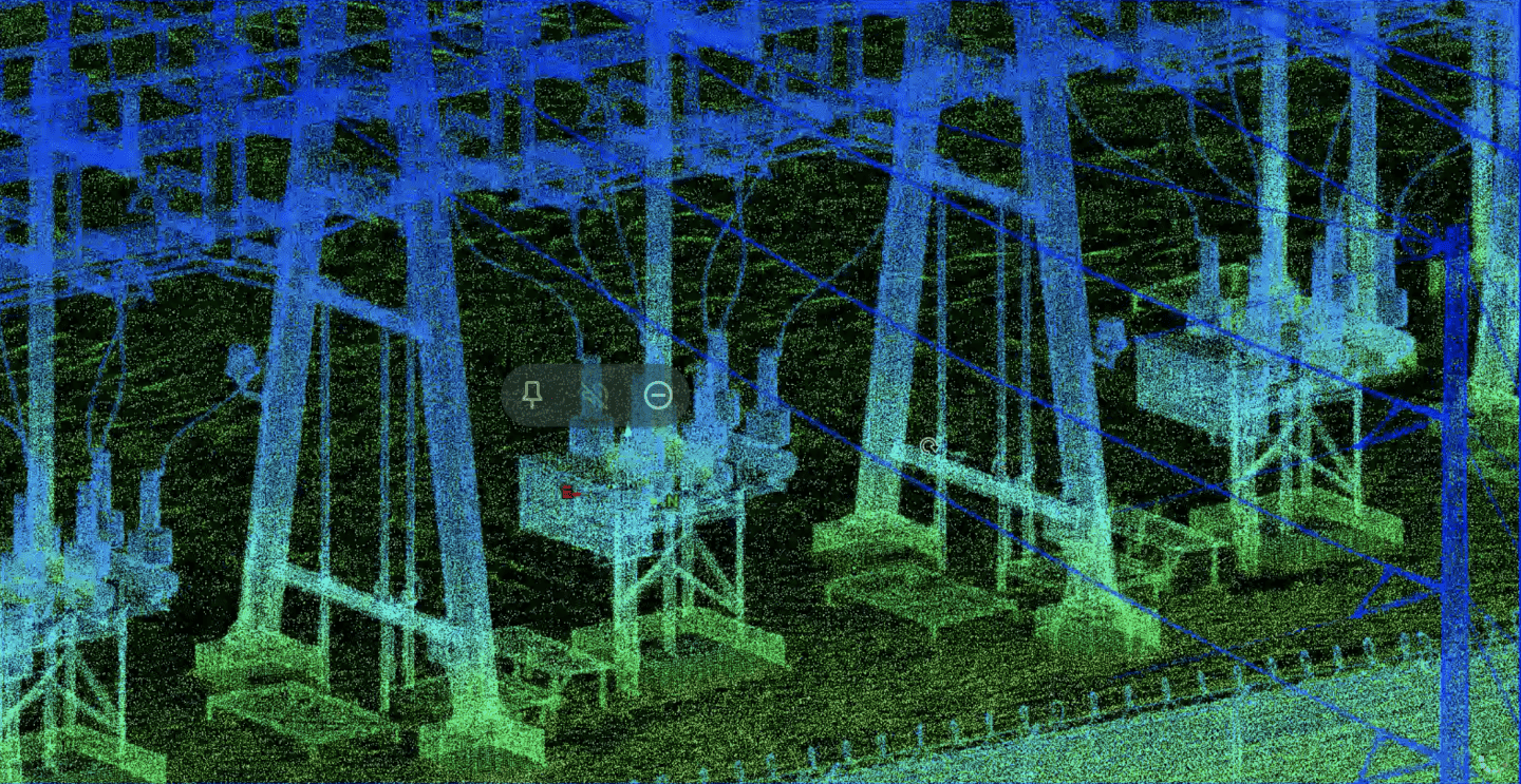
What do we mean by connected data? Connected data means that various, seemingly disparate datasets are related to one another, preferably geospatially – a framework we adopted in Firmatek Cloud. This means that all data from hi-res photos to inspection reporting to laser scans are connected via spatial location and time. This differs from other approaches such as an AI-first strategy that prioritizes data inspection via machine learning. Nothing wrong with that, but in our view it is a limited solution that does not meet all the needs of electrical utilities. A GIS-first strategy knows the exact location of every asset, component, attribute, and dot in a point-cloud at any given time. This serves two purposes.
The first and foremost, organizations within a utility (often siloed) are able to work off a single data source, thereby increasing efficiency and reducing duplication of effort. For example, a geo-referenced LiDAR scan of a transmission line can serve multiple use cases ranging from ROW modeling, ground topography, and vegetation encroachment. This use case lends itself to measurements and engineering analysis, object/component classification, asset management, joint-use-inventories, and so on. Other data types such as photos and IR imagery can be linked to this baseline dataset via its spatial location for further ML/AI analysis if desired. The second purpose is creating a data archive that establishes a baseline dataset and adds new data incrementally over time, providing change and trend analysis. One of those GIS-first platforms is a company called Pointerra.
Our prediction is that a GIS-first strategy will quickly become table stakes in 2021 with other innovations quickly gaining traction. One of those utilizes Augmented Reality to tap into a client’s existing GIS and display asset and attribute information in the field in real time. A start-up company called B1rd.io is doing just that. They have taken a GIS-first strategy and incorporated AR in a clever way to further reduce duplication of effort and the need to collect data from scratch. B1rd.io is focused on drones as a data collection tool; however, their approach can be easily adopted for aerial, ground based mobile, hand-held, and underground applications.
Tools
Our final prediction is more of a mantra here at Firmatek: it’s not about the drone, it’s about using the right tool for the job. An aerial perspective for T&D inspection is invaluable so drones are the right tool. By contrast, many joint-pole-use projects can be done by ground-based tools, especially in densely populated semi-urban environments where drones can be impractical. As mobile LiDAR specialists, a new mantra has emerged: drive when you can, fly if you have to. Driving a truck with laser scanners along roads parallel to ROWs is faster, safer, and more practical.
We believe those who offer a hybrid solution and not a one-size-fits-all approach will win in 2021. At Firmatek, we tailor solutions for our clients. That is how we developed our hybrid service offering. We work with our clients to find the best solution and provide them with the tools, expertise and most importantly the insights they need. Our clients are always looking for new tools and ways to visualize and analyze their data and we’re prepared to react quickly to their needs.

About Andrew
Andrew Maximow joined Firmatek as Chief Drone Officer. Andrew spent his professional career in fast-growth technology domains, progressively moving from engineering to leadership roles. Prior to joining Firmatek, Andrew served as a managing partner with Texas-based drone services company, Drone Dynamics, and led the Enterprise Services team at 3D Robotics. Andrew possesses BS & MS degrees in Industrial & Systems Engineering.
Recent Articles:
Implications of the Recent FAA Remote ID Proposal
Is the Construction Industry Ready to Digitize?


