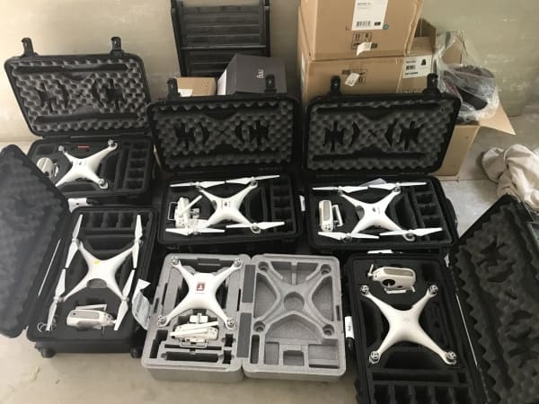
By Andrew Maximow, Chief Drone Officer
After reading about many stories and events shared during National Drone Safety Awareness Week, I wanted to provide a glimpse into the future and write about the role drones will play in keeping our communities, cities, and society safer as a whole. But first, let’s review the positive impact drones have already made in our communities. It is truly inspiring to read how drone technology is applied to search and rescue efforts. There have been over 279 documented lives saved, improved response times in public safety incidents, improved disaster recovery efforts, and the remote delivery of medical supplies to those in need. Finding lost hikers, assisting fire fighters, assessing hurricane damage, and BVLOS deliveries are examples that clearly make the #dronesforgood case. Can’t wait to see what innovators are working on next!
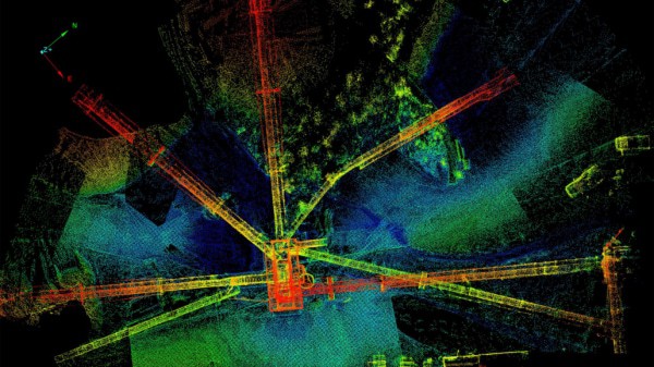
Insights derived from drone data have the potential to play an even greater role in saving lives by preventing life threatening situations in our communities before they occur. Drones, when deployed as an IoT (Internet of Things) data collection device, will work in concert with baseline data, a plethora of other types of sensors, and various data sets that will help in planning, and critical decision making. There are 3 key elements that make the analytics even more powerful:
- Quantitative vs Qualitative: does the information measure something or tell a story?
- Time based: Is the info real-time, show a trend, or act as a real-time overlay with another data-set?
- Geospatial correctness: Is it helpful to know where any and all the data is located in 3D space?
Combined together, one is able to assess the given situation anywhere at any given moment in time. Drone data will continue to make it easier to predict outcomes based on historical, current, and evolving situations. Some call that 4D analytics – the combination of space and time.
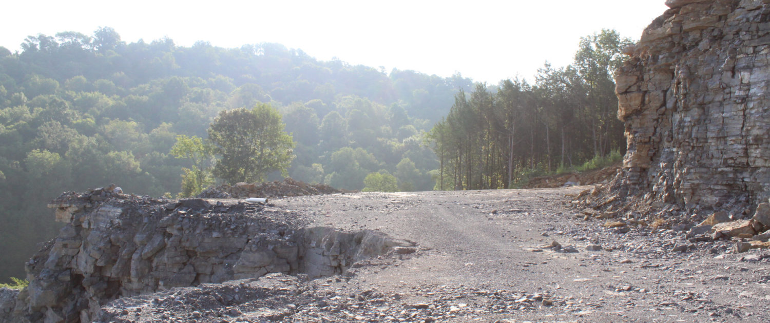
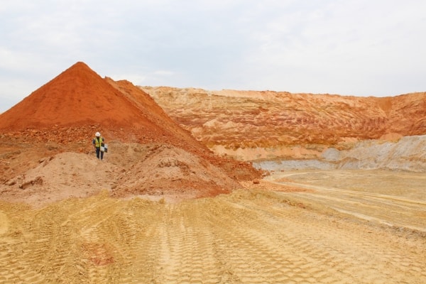
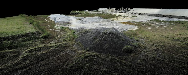
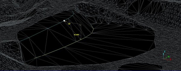
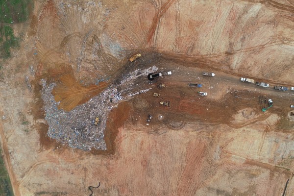
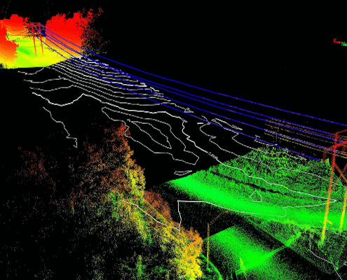
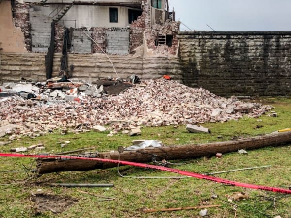
Some practical examples of 4D analytics include vegetation encroachment around electrical utilities and ecological studies that help prevent forest fires. Drones are also being used in the prevention of mosquito-born viruses such as West Nile & Zika. They are mapping at-risk and remote areas containing standing brackish water and piles of rubbish that may be breeding grounds for infected mosquitos. Maps with demographic information, near real-time drone data, and combined weather forecast data can be leveraged with Public Health officials to track, predict, and abate impacted areas. Drone-based 3D maps, weather data, and flood control planning combine to help prevent devastating flooding prior to major storms.
Drones are the future of businesses and communities. These are several real-world examples that support the concept of smart-cities, where urban planning, development, and incident response is “smarter” via decision making that is data driven rather than reactive and based largely on guess-work. The practical capabilities drone technology offers will only increase over time. The future of drone existence will only get brighter and more prevalent. Keep watching for the many ways your communities and businesses incorporate this technology to improve your surroundings.