Also published in Pit&Quarry.
Data is everything in the aggregate industry, but gathering it can be a challenge.
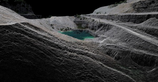
One effective way to collect data is through light detection and ranging (LIDAR) technology, which uses pulsed light to measure distance. Because we know the speed of light with such accuracy, the time it takes a beam of light to bounce off an object and return to the scanner tells us how far away the object is.
Used in conjunction with other data, the light pulses can generate an accurate 3-D picture of the surface being scanned. LIDAR isn’t new. In fact, in 1971, it was used on the Apollo 15 mission to map the surface of the moon. LIDAR has, however, been continuously refined.
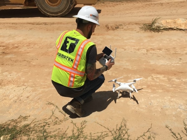
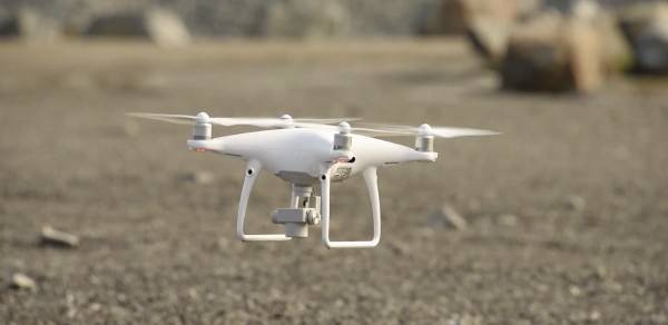
LIDAR has many applications and, in recent years, it’s been adapted for use in ground-based systems in which laser scanners are mounted on vehicles such as pickup trucks, ATVs and railcars. Only recently, however, have scanners decreased in size to a point that they can be mounted onto unmanned aerial vehicles and drones. This latest iteration of the technology will have a huge effect on the cost, efficiency and accessibility of gathering high-quality data at many different types of sites.
Different types of LIDAR
Aircraft-based LIDAR can be used for almost any project, but it’s also the most expensive type of LIDAR technology. You must pay for the operating cost of an aircraft, and airborne scanners are extremely expensive.
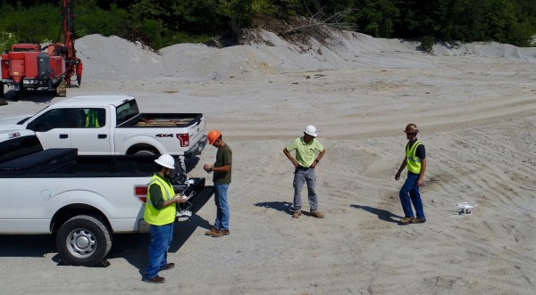
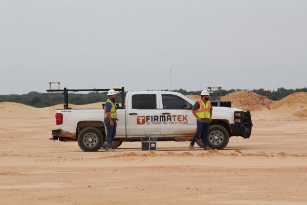
Drone-based LIDAR is much less expensive than aircraft-based LIDAR and requires a fraction of the preflight planning. Plus, drones can be shipped around the country to be shared among sites, increasing their value.
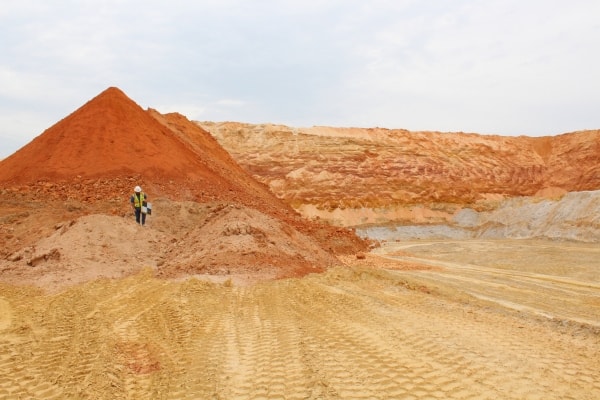
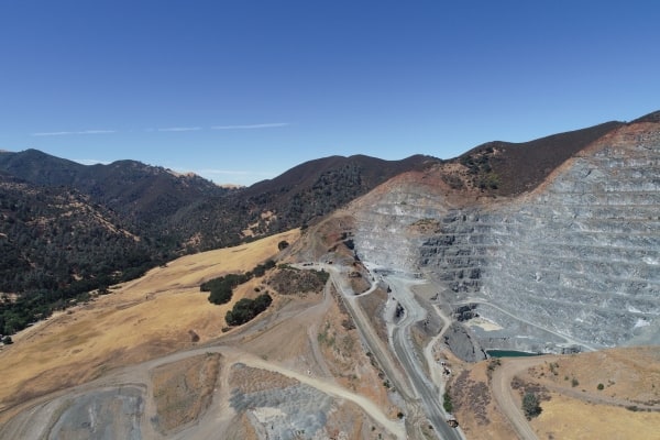
Drone LIDAR can also be used on a smaller scale, scanning a site that’s anywhere between 1 acre and 5,000 acres. Because aircraft-based LIDAR is best for scanning entire cities or countries, it’s not as cost-effective for areas this small.
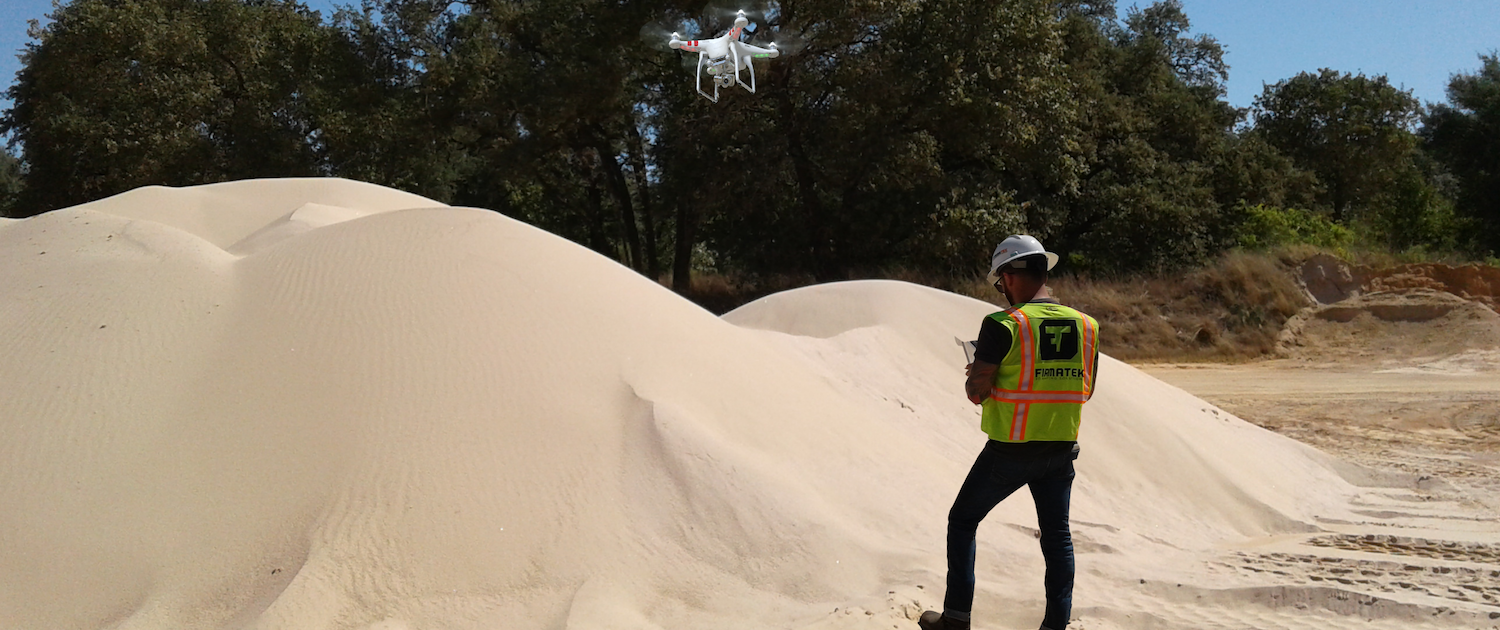 Utilizing a drone is a good idea if you’re doing monthly or semimonthly stockpile surveys.
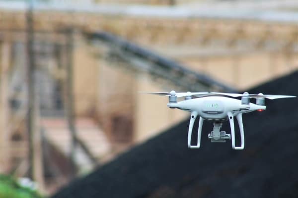
Photogrammetry drones will help map areas of operation and stockpile measurements of small to midsized sites. Drones using photogrammetry for data collection are by far the most common type of drones being used today. While they can cover up to 2,000 acres, they typically measure much smaller areas.
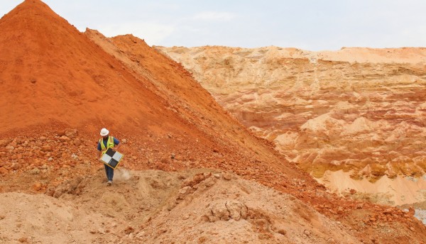
Terrestrial LIDAR can collect accurate data in areas of operation and stockpiles while also allowing data to be collected inside buildings and under tree cover. The scanner will have to be driven or hiked wherever data is needed, so the coverage area is slightly more limited.
For aggregate producers, there are a few key questions you should ask when deciding which technology is best for a particular job.
1. How important is accuracy?
Is it critical to have the highest possible data accuracy? Or, are you looking to balance accuracy with an affordable cost? Paying a lower cost also means data can be collected and analyzed on a regular basis throughout the year, which often provides an ideal solution.
There will always be a trade-off between cost and accuracy, and producers will have to determine their priorities on a case-by-case basis. An engineering project, for instance, might require the highest levels of accuracy possible, making aircraft-based or terrestrial LIDAR the best bet. For smaller, more frequent projects, though, drone-based photogrammetry might make more sense.
2. What insights are you looking for?
If you only need a survey done once per year and you have tens of thousands of acres to cover at one time, aircraft-based LIDAR might be worth the money. Drones, however, are a better idea for monthly or semimonthly stockpile surveys to help track production and inventory.
For official reporting or audit requirements, annual or quarterly LIDAR surveys will provide the highest degree of accuracy possible. At the same time, it can be a good idea to introduce drone-based photogrammetry data collection as an internal tool for inventory management, allowing for a phased migration from one tool to another.
3. Who will process the data?
After you’ve collected all the necessary data, it’s time to process it. This can be a challenge for many organizations, and unless you have dedicated employees with the time, training and desire to process all that data, it might be a task best left to a service provider.
4. How big are your projects and how much do they cost?
LIDAR, whether aircraft, terrestrial or drone based, is more expensive than photogrammetry. But it also produces extremely accurate readings.
Drones have made data collection much more affordable, but you can expect to sacrifice some degree of accuracy. It’s also difficult to survey a large area with current drone technology, and for sites larger than 5,000 acres, they might not be appropriate.
When deciding on the right technology for your site, consider the size of the area you’re planning to survey, the insights you’re looking to gain, the degree of accuracy required in your data, and the amount you’re willing to pay for that accuracy. Once you have a clearer idea of what you’re looking for, it will be easier to choose the right type of technology to fit your needs.