Accurate stockpile measurements are not option. They’re not a nice-to-have. They’re foundational to your business.
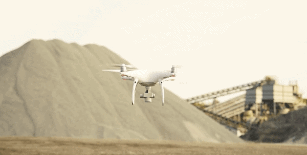
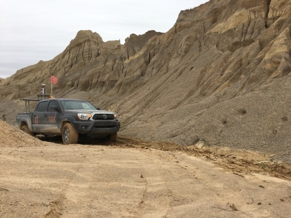
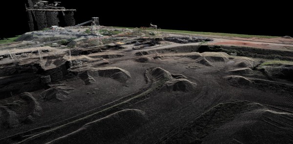
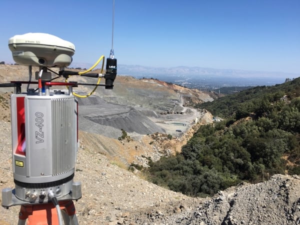
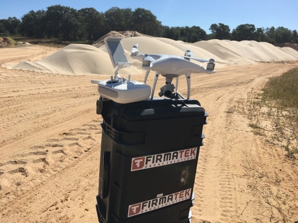
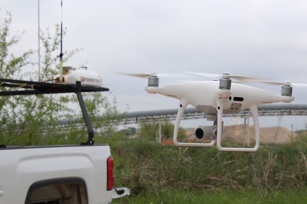
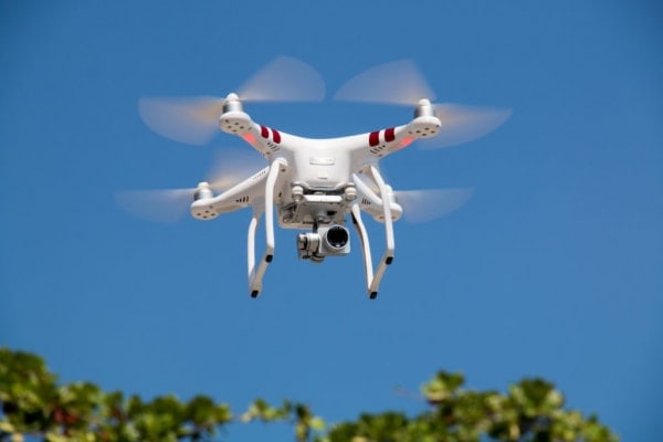
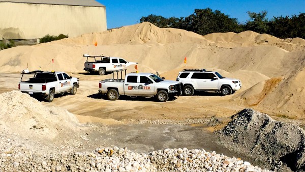
This is the driving mission behind why we use precision mobile lidar, drone mapping and 3D modeling technology when we offer full-service stockpile management.
And yet, all of this technology generates its own digital stockpiles of data. How does a mining company, for example, manage that particular stockpile? How does it ensure the data’s quality, and how does the company turn that information into real business results?
In this post, we’ll explore what top-performing companies do with their stockpile measurement data.
The Business Case for Granular Accuracy
Step 1 when working with data of any kind is to ensure you’re measuring with accuracy and precision.
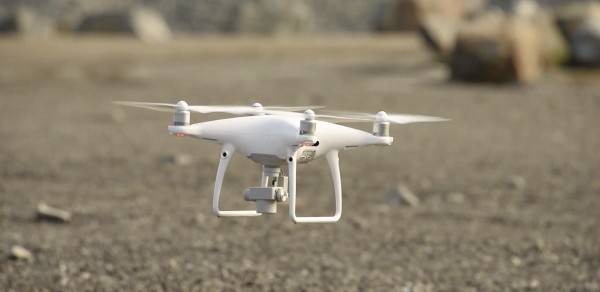
That’s why each generation of drones, cameras and modeling software in our industry gets more and more precise. As Michael Schwartz, executive vice president and CMO at Eka Software Solutions points out, ground-based and drone-based stockpile surveys currently get area measurements down to the centimeter.
“Depending on the quality of the equipment, users can expect a variation of two centimeters or less,” Schwartz writes at Aggregates Business International. “With high-end cameras in place, the variation can go down to 1.5cm per pixel.
“This difference may appear small, but when replicated over a full-sized stockyard it can represent millions or even tens of millions in profit saved or loss avoided. With far greater accuracy in the resulting 3D models, drones can deliver accurate data that makes a significant contribution to minimizing variance in inventory allowances. Operators can therefore avoid inventory swings, alleviate any end-of-year write offs, and provide commodity traders a far more accurate picture on current availability and replenishment needs.”
Schwartz also touches on the speed aspect of drone technology, which is a business case in its own right, and one that we will explore further in a minute.
Powerful Tools Must Be In the Right Hands
First, it’s important to understand the business implications of these modern tools — and how using them incorrectly can create serious problems for your business. Lewis Graham, president and CTO of GeoCue Group, notes that site managers or pit owners who don’t take care to be ultra-precise when using these tools can get wildly inaccurate measurements.
And those are user errors. For example, each 1-inch of vertical error creates a volumetric error of about 134 cubic yards per acre,” says Jeremiah Karpowicz, who spoke to Graham for a piece at Commercial UAV News.
“Graham has seen end users buy a drone and a point cloud generation application and do this computation with no knowledge of referencing. They are then quite surprised at the huge difference between the number of truckloads of dirt taken from the site and their volume computation.”
Moving Beyond the Spreadsheet
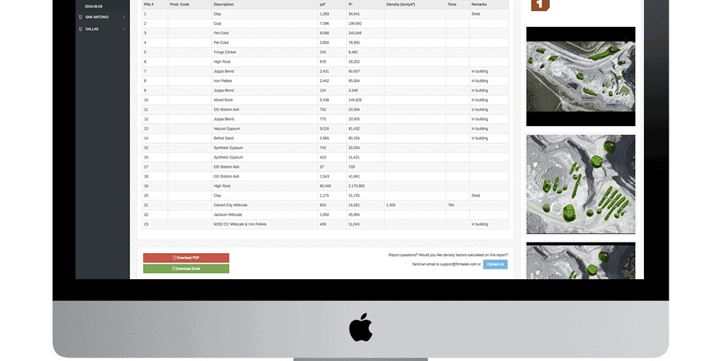
Then, these numbers all need to live somewhere so they can be referenced and made sense of. For years, volumetric measurements haved lived in spreadsheets — either written ledgers or Excel files.
But as Commodities Now Editor Guy Isherwood notes, spreadsheets don’t do a good job of tracking tonnage, the stockpiled material’s quality or its value.
“Studies by independent academics show that as many as 94% of complex spreadsheets contain errors including input errors, logic errors, interface errors, and incorrect cell range errors,” he writes in a paper for Triple Point Technology.
“These errors, even significant ones, often go undetected because spreadsheets are usually created by non-programmers who don’t perform formal testing. Because of this, many mining companies using spreadsheets function without the knowledge that a problem even exists, giving them a completely inaccurate picture of day-to-day operations and affecting all aspects of the supply chain.
“Without the necessary data validation and control, errors spread throughout key corporate processes that control hundreds of millions of dollars of inventory, putting the entire company at significant operational risk.”
This is why modeling stockpiles in four dimensions — the fourth dimension accounts for changes over time — gives site operators a much clearer picture of their inventories.
Automating Regular, Precise Measurements
Accuracy is only half of the business case, however. The other half is the efficiency created by technology such as drones.
When machines can be automated to fly over a site, then stockpile measurements are no longer bound by having the right people around who are available to walk piles and do geometry.
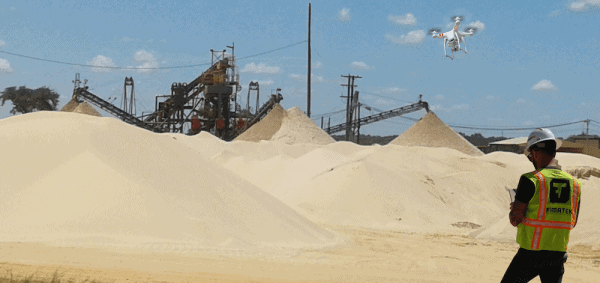
What’s more, a drone is exponentially faster at measuring a site than a person is. “State of the art drones powered with standard SLR cameras take hundreds of images of stockpiles in just a few hours, completing in one day what would typically take a piloted aircraft or individuals with hand scanners a week or more,” Dale Benton at Mining Global writes.
So now, site operators can take inventory with much greater regularity, which helps them create much more accurate budgetary forecasts and better business decisions.
“For us the biggest benefit [of drone-based measurements] we realized so far is the stockpile volumes,” says Iain Allen, senior manager of geographic information at Barrick Gold. “At most of our mines we don’t have enough available space to have separate stockpiles for different ore, so we need to know which ore is in each pile. The mill has to know what we’re sending so they can process it appropriately.
“If we get it wrong, it reduces our return on gold and that costs us money. A 3D model of a stockpile is extremely useful and it’s much faster than conventional survey techniques.”
Preparing Your Data to Become Business Intelligence
Once you have your stockpile data readily available and in a format that’s useful in guiding decisions, then you can begin to harvest real business results from it.
First Things First: Know Your Business Objectives
The first step, however, is to clarify your business objectives. And if you are using a service provider for your stockpile measurements, make sure the provider is on board, too, Colin Snow writes at Dronelife.
“Before signing up with a drone data mapping or imaging service provider, make sure that provider is fully committed to understanding the use case and the industry vertical you serve,” he advises. “Not all do.
“Some providers have more experience in one industry vs. another. For example, they may promote the functionality to serve mining when in fact their core functionality is based on serving agriculture.”
Ensure You and Your Data Speak the Same Language
As our company president, Lauren Elmore, told attendees at AGG1 2016: “Just because ‘everything we do is in tonnage’ doesn’t mean it is the best way to do it.” Tonnage doesn’t tell you anything about a stockpile’s density, and a volume of one material will always weigh more or less than a volume of another material.
So, make sure your measurements are in volumetric terms of cubic yards or cubic meters.
Reconciling Your Inventory Figures
Inventory reconciliation can be a headache in any industry — exponentially so in mining and aggregates when you’re working with problematic data. But if you’ve taken care to measure accurately and you’ve cleaned the data to report volumetric numbers, you’ll be ready to properly analyze how much of your stockpile has moved relative to how much the balance sheet reports.
This is also a good time to ensure that your other measurement tools — your truck scales, for example — are calibrated as precisely as your volumetric measurement system.
Afterward, as we pointed out in an earlier blog post, you’ll need to remember to reconcile the fact that you’re measuring by volume, but you’re most likely selling inventory by weight.
As you introduce greater efficiency to your stockpile measurements, you’ll have more frequent counts and more opportunities to spot inconsistencies before they grow into bigger problems. After all, no one wants to write off inventory.
The Next Frontier: Real-Time Stockpile Management
The quality data companies are collecting today will eventually serve as the foundations for stockpile management systems that will track changes in real time and be available to anyone in the industry, no matter how big or small.
ABB Mining has an excellent paper on what this will look like through the implementation of stockyard management systems, or SMS.
“An SMS is an integrated part of the overall stockyard management and control system and it includes instrumentation, electrification and scope for automation of operator-controlled stockyard machines,” the paper reads.
“A SMS organizes the stockyard in real-time based on job definitions generated by production management. The SMS merges data on incoming material quantities with additional information such as quality data, ownership of material and localization and visualization aspects to provide a comprehensive picture. An ‘anti-collision system’ at the control level provides for safe operations.”
Accurate, real-time figures on how much stockpile inventory is moving will be the next step in the mining and aggregates industries forward.
images by: Pexels, Mariusz Prusaczyk, Sebastian Pichler

