Abstract:
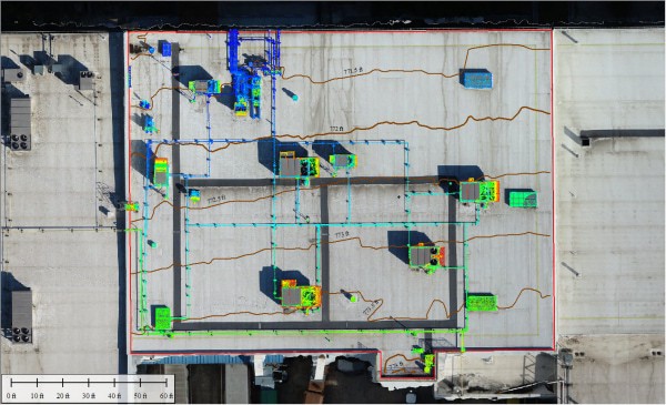
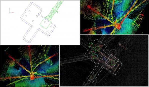
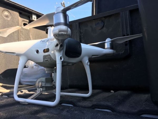
There is a growing demand for the collection of ultra-high spatial resolution imagery using unmanned aerial systems (UASs). UASs are a cost-effective solution for data collection on small scales and can fly at much lower altitudes, thus yielding spatial resolutions not previously achievable with manned aircraft or satellites. The use of commercially available software for image processing has also become commonplace due to the relative ease at which imagery can be processed and the minimal knowledge of traditional photogrammetric processes required by users. Commercially available software such as AgiSoft Photoscan and Pix4Dmapper Pro are capable of generating the high-quality data that are in demand for environmental remote sensing applications. We quantitatively assess the implications of processing parameter decision-making on UAS product accuracy and quality for orthomosaic and digital surface models for RGB and multispectral imagery. We iterated 40 processing workflows by incrementally varying two key processing parameters in Pix4Dmapper Pro, and conclude that maximizing for the highest intermediate parameters may not always translate into effective final products. We also show that multispectral imagery can effectively be leveraged to derive three-dimensional models of higher quality despite the lower resolution of sensors when compared to RGB imagery, reducing time in the field and the need for multiple flights over the same area when collecting multispectral data is a priority. We conclude that when users plan to use the highest processing parameter values, to ensure quality end-products it is important to increase initial flight coverage in advance.
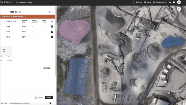
Click here to download the full scholarly article by Firmatek’s Steele Olsen and Britton Baxley.
Authored by:
Narcisa G. Pricope 1,* , Kerry L. Mapes 1, Kyle D. Woodward 1, Steele F. Olsen 2 and J. Britton Baxley 1
- Department of Earth and Ocean Sciences, University of North Carolina Wilmington, 601 S. College Rd., Wilmington, NC 28401, USA
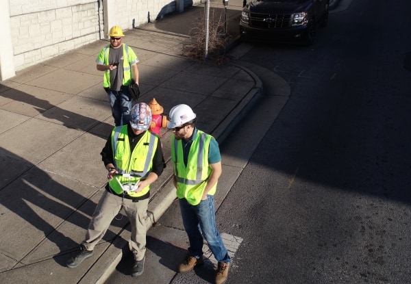
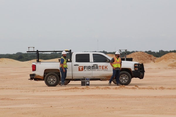
- Firmatek, 10010 San Pedro Ave., Suite 850, San Antonio, TX 78216, USA
* Correspondence: pricopen@uncw.edu or npricope@gmail.com; Tel.: +1-910-962-3499. Received: 26 June 2019; Accepted: 13 August 2019; Published: 15 August 2019
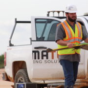 About Steele Olsen
Steele joined Firmatek in June of 2018 as a Geospatial Field Technician. In July of 2020 he was promoted to Drone Solutions Manager. Prior to joining Firmatek he was in graduate school at the University of North Carolina at Wilmington. He has a Masters of Science and Post-Baccalaureate Certificate in Geospatial Sciences. Steele enjoys learning about new technology and developing methodologies with new platforms to help clients make informed decisions in all industries Firmatek serves. Connect with Steele on LinkedIn.
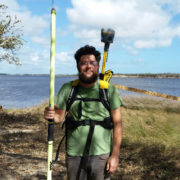 About Britton Baxley
Britton joined Firmatek in June of 2020 as a Geospatial Field Technician. Prior to joining Firmatek, he was in graduate school at the University of North Carolina at Wilmington. He is currently pursuing his Masters of Science in Geoscience with a Post-Baccalaureate Certificate in Geospatial Sciences. He enjoys working with old and new technology to provide more efficient industry solutions. Connect with Britton on LinkedIn.