Electric Utilities
Your partner in safe, reliable, affordable power
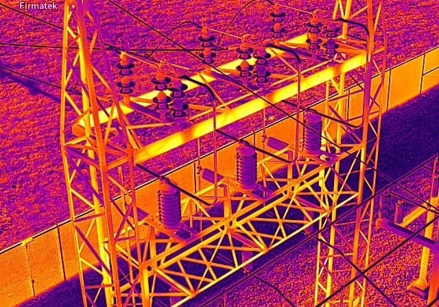
At Firmatek, we understand what it takes to enable faster, more confident decision making in the electric utilities industry. Our approach to aerial data capture combined with real-time data processing empowers everyone from linemen to executive leadership to make in-the-moment decisions that improve reliability and drive down costs. We start each partnership by listening, then we apply our deep industry expertise to bring forward a tailored solution to improve data integrity and expedite problem solving.

Landfill & Waste Management
Take control of site management, compliance, and profitability
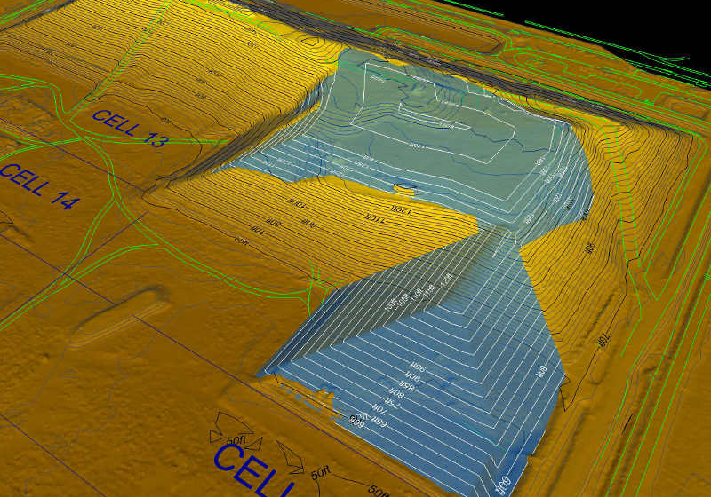
Geospatial data is imperative to your business – from day-to-day environmental compliance to long-term planning. That’s why it’s critical to frequently and accurately measure density, compaction, remaining airspace and methane emissions to increase efficiency, act in good faith, and protect your bottom line. Firmatek’s ability to mobilize quickly and capture aerial data anywhere in the nation makes us the go-to service provider for over 30% of U.S. landfills. Combine that with industry leading software that aggregates data and delivers near real-time insights, and decision makers have the information they need to make the right call from anywhere.

Mining & Aggregates
The total solution to support safe and efficient mine management
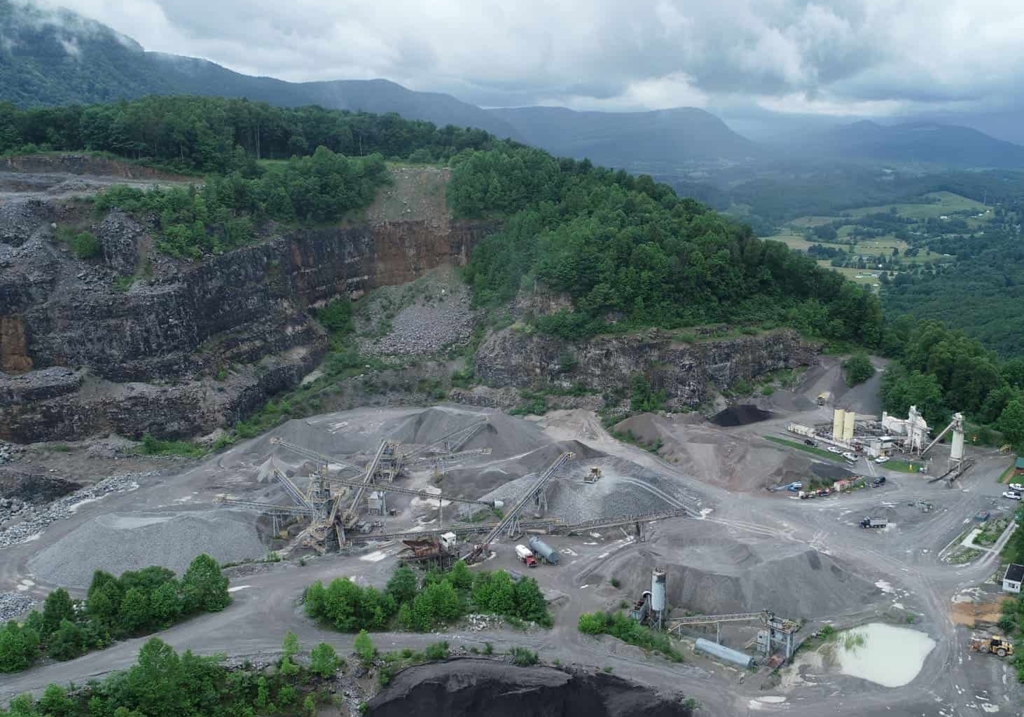
It’s important to feel confident about the state of your mine, which is why Firmatek makes it possible to execute frequent done flyovers to capture real-time aerial data on stockpiles, inventory and topography. Our teams are readily available to provide independent, third-party inspections and compile an audit history of all material inventories. Data is processed within 24-48 hours and populated in Kespry Cloud so decision-makers have the information they need to move forward quickly whether they’re in the field or at headquarters.

Disaster Response
Reduce response time by gaining an immediate understanding of conditions and impact
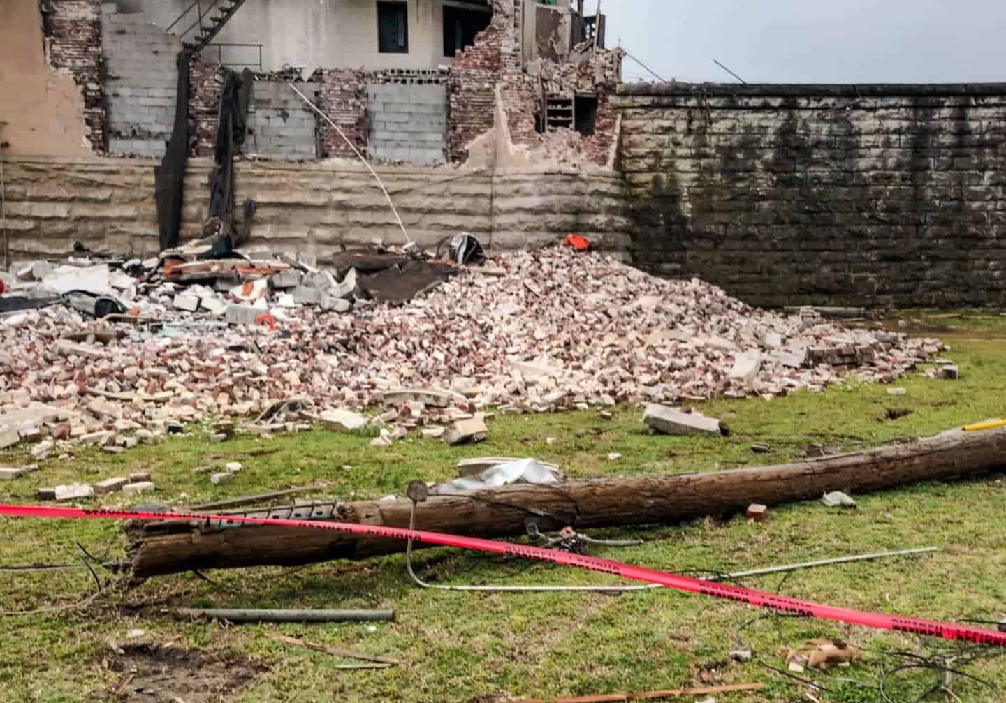
Aerial imaging is the fastest and safest way to understand the impact of a natural disaster. With real-time data processing, decision makers get a clear picture of conditions so they can make moment-to-moment decisions about where to deploy crews and what supplies they will need for effective response. By streamlining logistics, teams can reduce response time from weeks to days, saving more lives in the process.
