Reduce response time with real-time data
Aerial imaging is the fastest and safest way to understand the impact of a natural disaster. With real-time data processing, decision makers get a clear picture of conditions so they can make moment-to-moment decisions about where to deploy crews and what supplies they will need for effective response. By streamlining logistics, teams can reduce response time from weeks to days, saving more lives in the process.
Nationwide Coverage & Rapid Response
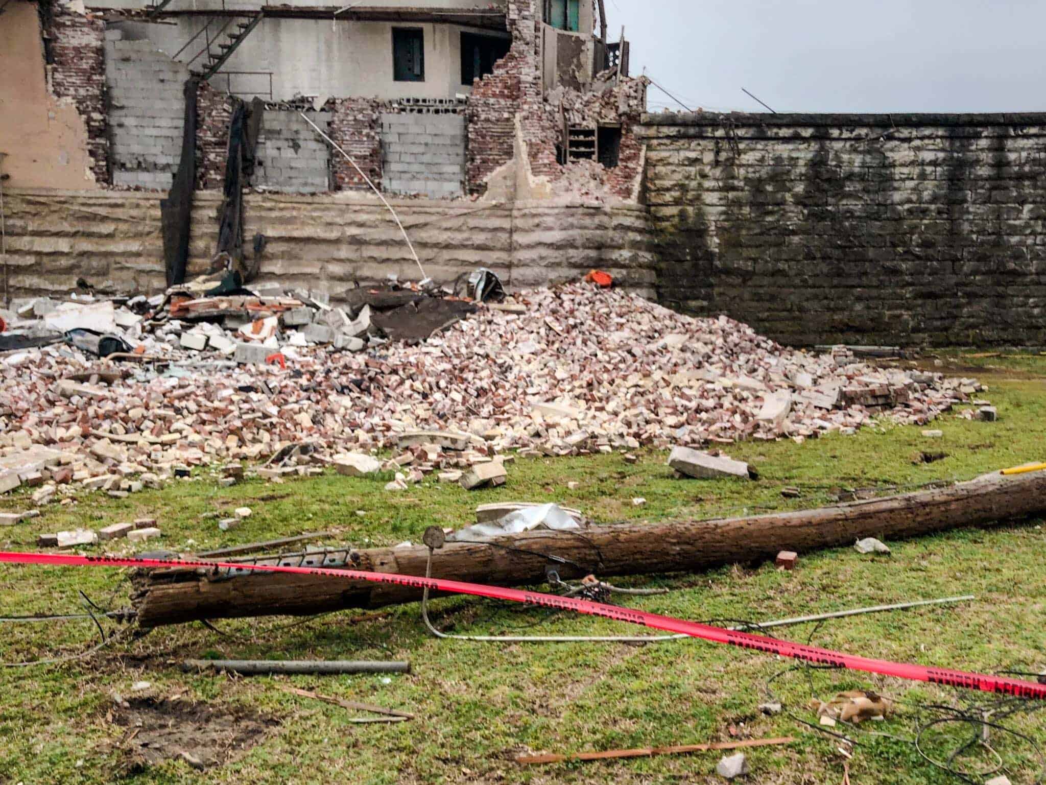
Natural disasters destroy environments, making it difficult to identify high impact areas in traditional ways. Utilizing drone technology allows for faster data collection and condition assessment without putting people in harm’s way. With drones, we can map acres of wildfire damage and collect hundreds of photos to help identify utility pole damage. The collected data can then be uploaded in real time.
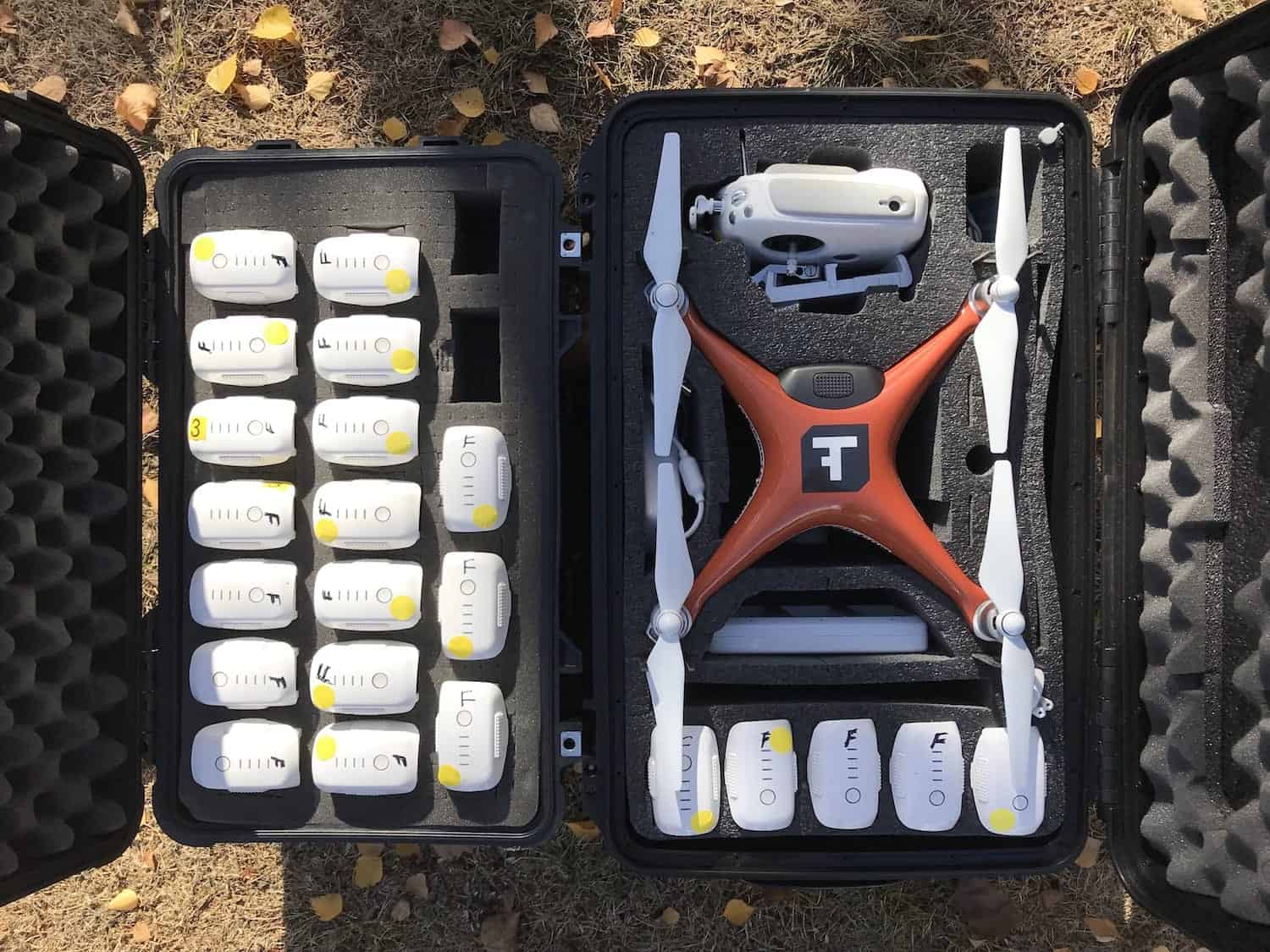
Our team of experienced field technicians is fully equipped for rapid deployment to capture aerial data no matter where disaster strikes. As a national service provider, we’re ready to respond as fast as you are.
Situational Assessments with Aerial Data
Aerial drone technology reduces inspection risk by remotely collecting data from areas that are dangerous or contain hazardous material, making it a safter and more cost-effective choice than ground inspections or aircraft capture.
Using aerial data to gain a comprehensive understanding of conditions allows resources to be used more effectively. By removing the guesswork, crews can be deployed faster to high impact areas and materials can be used more efficiently, reducing the need to move resources around because of surplus or shortage.


Deliverables
Experts in data capture and analysis, we transform data into actionable insights through customized deliverables.