Democratize geospatial data throughout your organization for more confident decision making.
Your trusted end-to-end service provider
We believe that the ever-changing complex physical world has a dramatic impact on the operational success of many companies. We exist to provide confidence and key insights that these companies use to make decisions that keep the world moving forward. Learn more about Firmatek


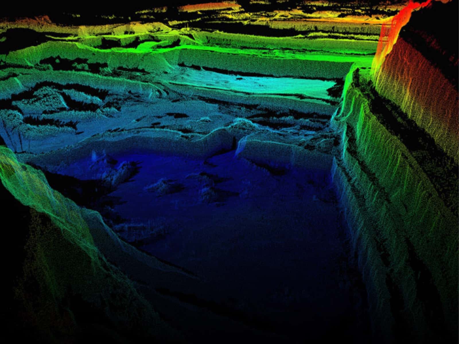
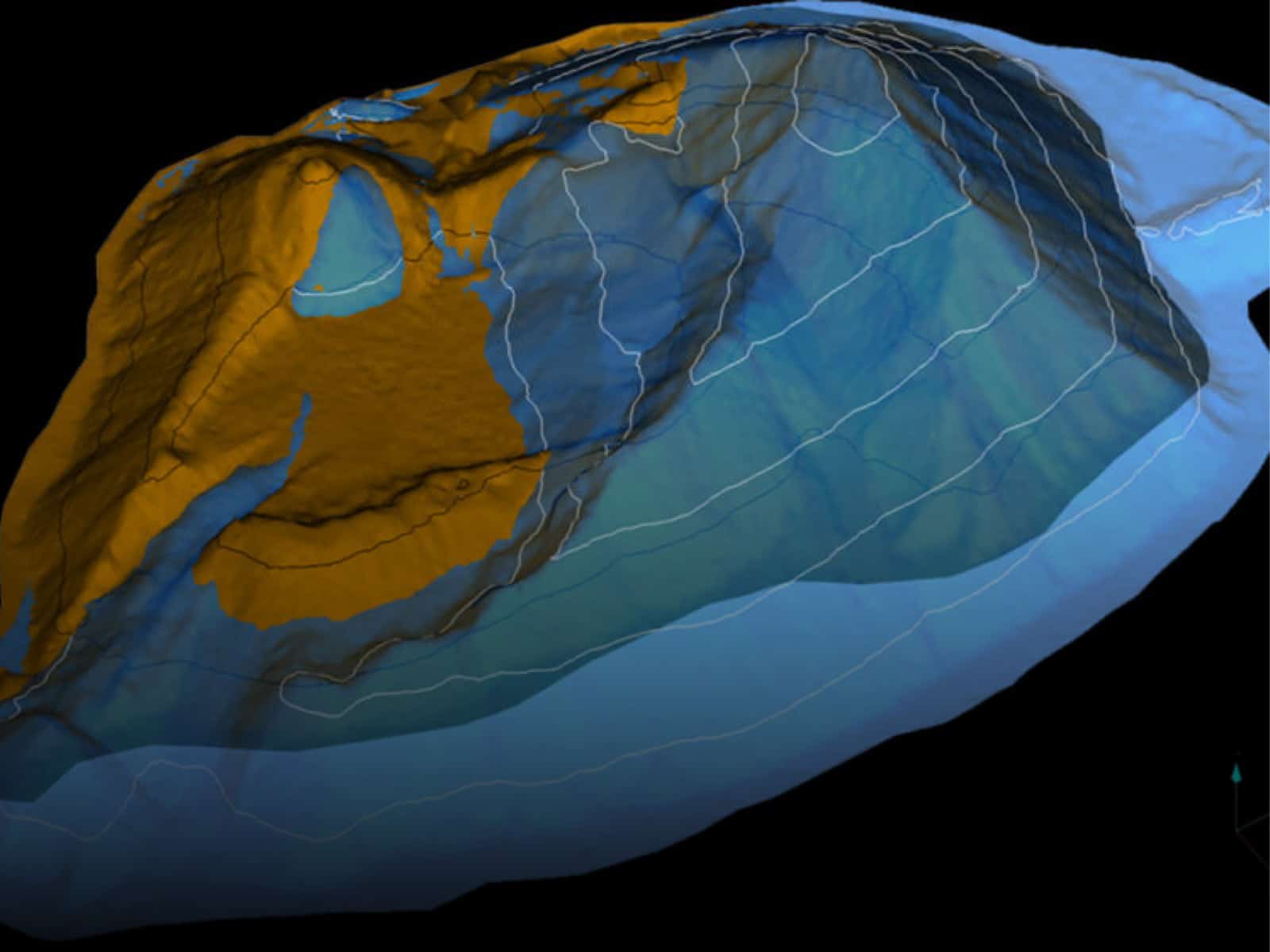
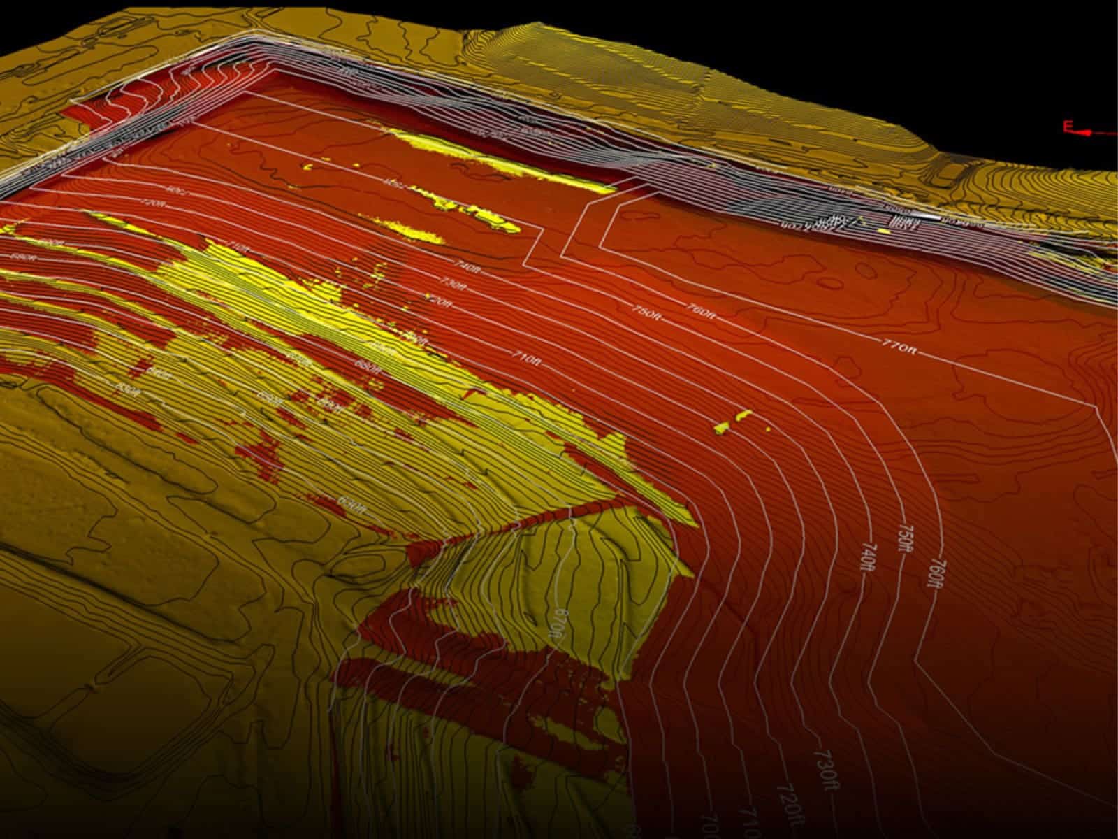
A leader in data collection, processing, and analysis
At Firmatek, our mission is to give companies who build the world supreme confidence. Firmatek has been an industry leader in mapping for over 30 years providing end-to-end solutions for inventory measurement, mapping and data processing. Our innovation has continued as we’ve forged into new industries, bringing advanced technology solutions to electric utilities, landfills and waste management, construction and disaster response.
We’re committed to pushing the boundaries of mapping, measurement, and data processing to equip our clients with the insights they need to improve operational efficiencies. As trusted advisors, we are an ally to our clients, maximizing time, money and resources to support confident decision making.
Partnering with Firmatek
We understand your site is unique and so are your requirements. Enhance your use of LiDAR and Drone solutions through our tailored service offering.
Industries We Serve

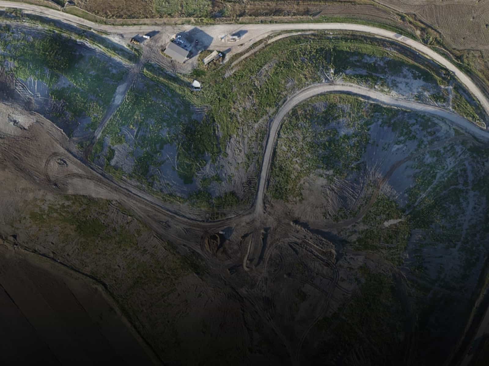
Mining & Aggregates

Landfill & Waste Management

Electric Utilities

Disaster Response

Construction
Our Commitment to Security
At Firmatek, we continually invest in security best practices to ensure that our client’s data remains safe, secure, and accessible when needed.
Established by the American Institute of Certified Public Accountants (AICPA), the SOC 2 examination is designed for organizations of any size, regardless of industry and scope, to ensure the personal assets of their potential and existing customers are protected. SOC 2 reports are recognized globally and affirm that a company’s infrastructure, software, people, data, policies, procedures and operations have been formally reviewed.

Our Clients Build the World
Deliverables
Experts in data capture and analysis, we transform data into actionable insights through customized deliverables.

