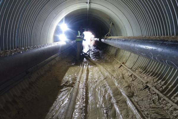
It’s been over a month since the city of Nashville was devastated by tornadoes that claimed lives and wreaked havoc on communities. Earlier this week, another tornado touched down just 45 miles east of Nashville. Each storm caused tremendous heartbreak and damage as loved ones were lost, homes were destroyed, and necessary utilities — like powerlines — stopped working. Our world has changed a lot over the last few months and we’ve learned that in cases of natural disasters, relief efforts and disaster responses are crucial to restoring what was lost.
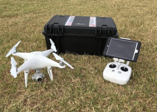
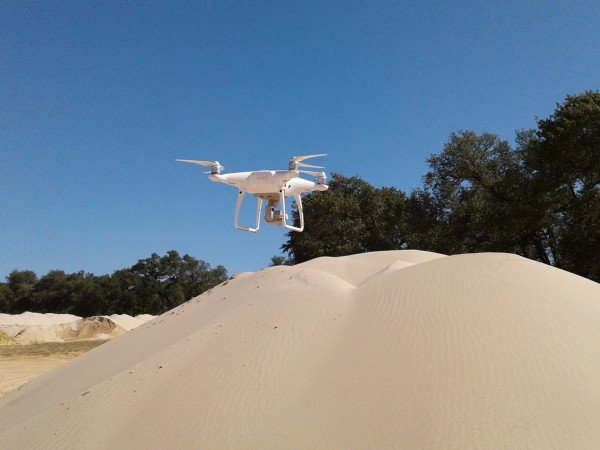
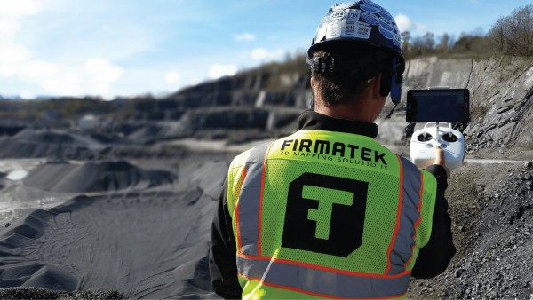
Firmatek field technicians responded to a call to provide onsite UAV-based data collection following the tornado that ripped through parts of downtown Nashville in early March. We partnered in this effort with Preformed Line Products (PLP) and Nashville Electric Service (NES) as part of an emergency response agreement. Our team arrived onsite within 24-48 hours by dispatching two fully equipped field technicians for the days ahead. Each Firmatek field technician had a DJI Phantom 4 Pro with extra batteries and chargers for continuous operations. Two teams were formed to include one Firmatek field technician, one PLP inspector, and lastly one NES employee. The NES team member was equipped with a tablet for data entry using PLP’s Arc Collector App.
Scope of Work
The primary responsibilities over the two days of work were to identify distribution pole up or down status and to asses obvious damage. With this information, we identified and confirmed which poles would need to be reinstalled. The drones also surveyed new locations of damage that had not yet been identified. The team’s objective was to collect one nadir photo/pole at 80-100ft AGL. To achieve this, PLP obtained permission to fly beyond visual line of sight (BVLOS) from the FAA.
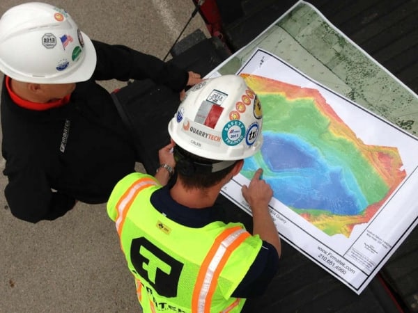
Natural disasters destroy environments, making it difficult to identify high impact areas in traditional ways. Utilizing drone technology allows for faster data collection and condition assessment. With drones, we identified utility pole damage and uploaded data in real time.
Firmatek’s Steele Olsen said, “Drones were most beneficial in helping identify damaged poles in hard to reach areas, like zones the tornado path displaced a lot of debris. Trying to inspect that on foot before the debris removal would be impossible given the time sensitive nature of the situation.”
Results
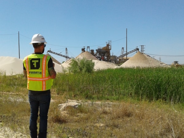
Several hundred aerial images were collected and delivered to PLP and NES. NES was impressed with the results, mentioning the drone data collection saved them hours of manual work. Firmatek field technicians are equipped to be self-contained, highly mobile units so they are ideally suited to disaster response types of work.
Keys to a Successful Disaster Response Mission
An effective disaster response effort begins with a proper situational assessment. Aerial imagery and real-time data processing services provide a comprehensive understanding of the conditions at hand in a safe, timely manner. In closing, the following suggestions proved to be crucial for a successful response operation.
- Bring plenty of batteries for continuous operations, roughly 10-12
- “Sun up to sun down” duration combined with BVLOS operations requires intense level of focus and contributes to high stress level. Be focused. Come prepared.
- Obtain maps from client, up-front.
- Define clear mission and communications protocols
- Evaluate the correct drone for mission type. Keep in mind quality vs quantity and how detailed your inspection requirements are.
- Bring a satellite phone for emergency internet connectivity. Internet may be down due to storm outage.
To learn more about our disaster responses services, check out Drones for Natural Disaster Response.