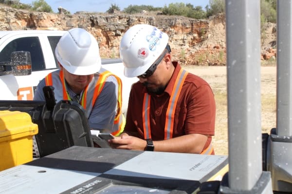
By Seaver Hall, Project Engineer
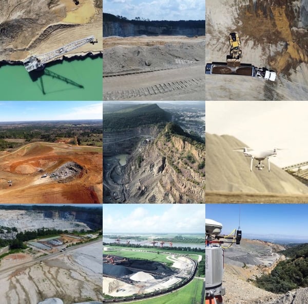
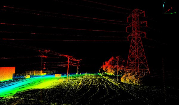
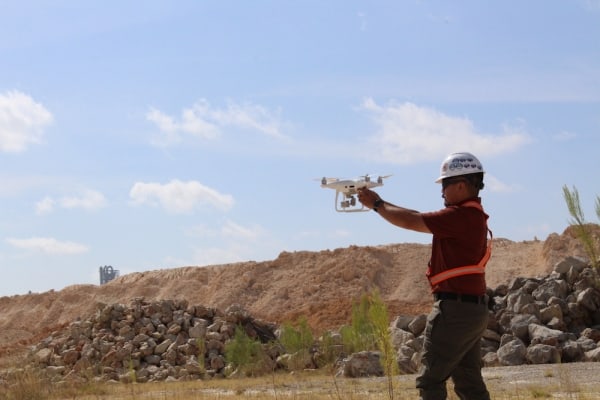
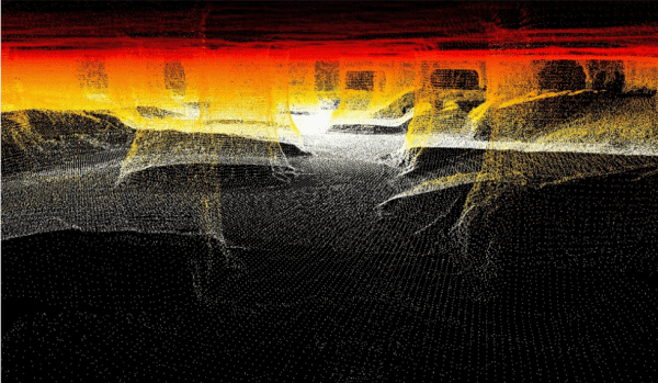
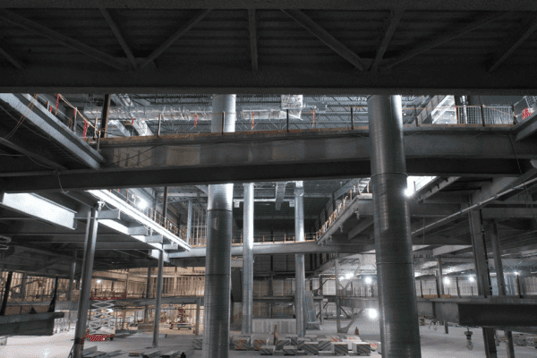
Access to geospatial data has never been easier. Data Analysts and Data Scientists are among the most desired and highest trending jobs in the world. However, more data is not always better. While working at Firmatek, where we specialize in processing 3D point clouds, the most frequent response from clients is, “the file is too big, I can’t open it.” A processed 3D point cloud is one of the coolest things to look at, but the data brings an enormous depth of value besides just looking cool. For example, the raw point cloud of a 20-foot long underground slope conveyor belt can be 10+ gigabytes (GB) worth of data, but for most people that high resolution cluster of data is unusable. The true challenge working with clients to solve problems is making the final deliverable something that is manageable and valuable to the end user. Underground mapping with LiDAR has been around for years, and we are now figuring out how to make this data more useful by creating deliverables like CAD files, change detection models, and 3D PDFs that can be viewed without high end and expensive software and hardware.
In this paper, we will explore Firmatek’s underground data collection process as well as the types of analysis and deliverables that have proved valuable for Firmatek’s underground mining clients.
Click here to download the full case study.