Contributed by Jeff Freund, Vice President of Enterprise Sales and Kate Steger, Business Development Representative
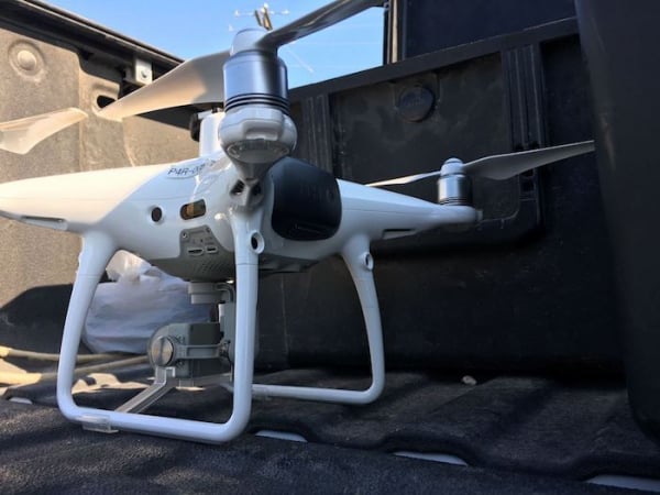
It’s no secret that construction is continually facing unforeseen problems throughout a project’s life-cycle. There must be a delicate balance between the time allotted to build, the money that can be spent or saved, and the quality of the overall product. The construction industry is continually evolving, trying to find the best ways to maximize their profits and ensure efficiency. Geospatial mapping is increasingly being used on construction sites to do just that. In this article, we’ll dive into the advantages of using drone data to improve construction operations.
Design, Planning and Estimating
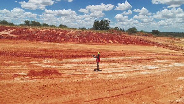
As contractors prepare for hard bids, they’re trying to ensure they have the best value to out-bid their competitors. To gain that extra advantage, geospatial mapping is slowly becoming a key way to succeed. Using a drone, contractors can fly over the site to produce a more accurate understanding of the conditions they will face. The documents given upon bidding do not always include exactly what type of conditions to anticipate once you win the job. Gaining this insight will help prepare you for unexpected costs, potential delays, and tighten down contingency budgets.
On the other hand, gone are the days of guessing the amount of excavation needing to be performed. Though an eyeball estimate through experience on a previous site provides a rough estimate, we’re now able to provide much more accurate cost measurements through advances in photogrammetry capabilities at an affordable cost to any construction pre-bid budget. When heavy vegetation is present on the proposed project site, drone-based LiDAR solutions can provide great data to the project team in order to give them a better understanding of the site conditions and confidence in their estimates.
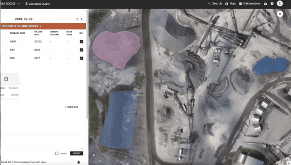
Better Documentation
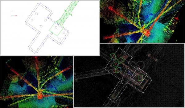
Once you begin your project, you face another big problem: the plans shown in the office begin to differentiate from what is actually happening on-site. Your perfect 3D model doesn’t show the cracks growing in the concrete that’s been put in place, and the schedule doesn’t reflect the subcontractor’s work that has to be fixed. As time goes on, the difference between what was originally planned and the changes occurring on-site continues to grow.
By using photogrammetry mapping on a weekly, monthly, or quarterly basis, you’re able to fly your drone in minutes and gather real-time updates to apply in the office and show your client. As-builts can be continually updated, correctly documented, and as-built BIM models can be verified. The processed data can be converted into any format, and the communication and clarity between the owner and contractor will drastically improve.
Better documentation is key for protection of all parties from lawsuits, claims and change-orders that come up on all projects. Visual imagery of what is happening on-site only helps both sides and will provide more transparent project delivery, on-time and within budget.
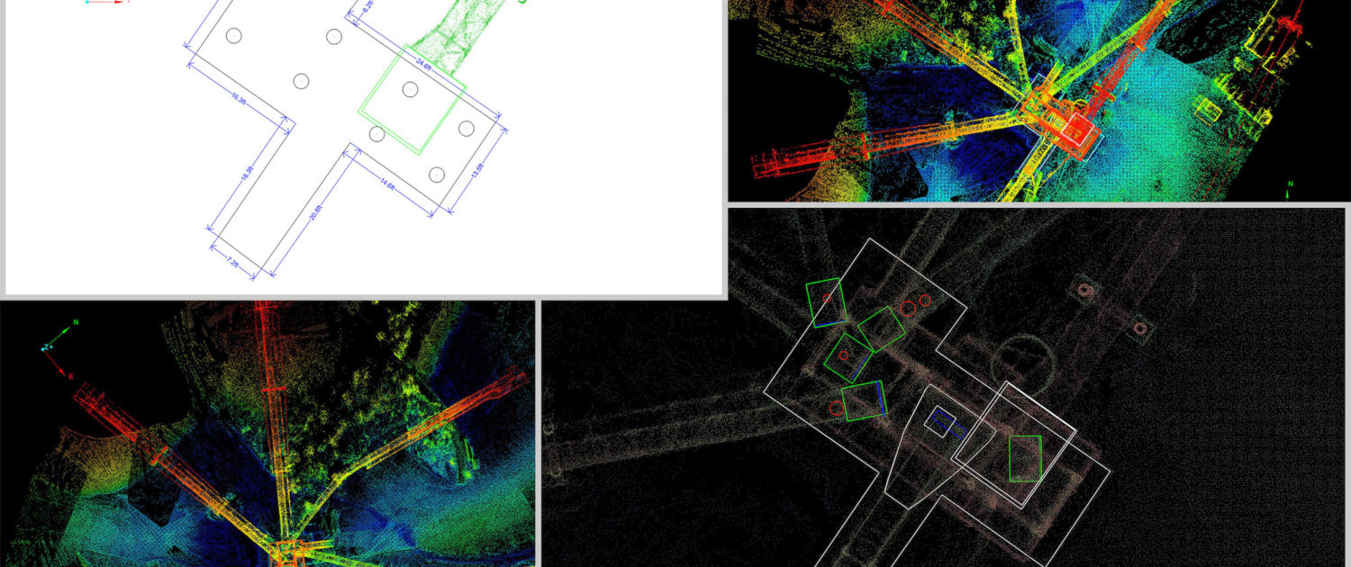
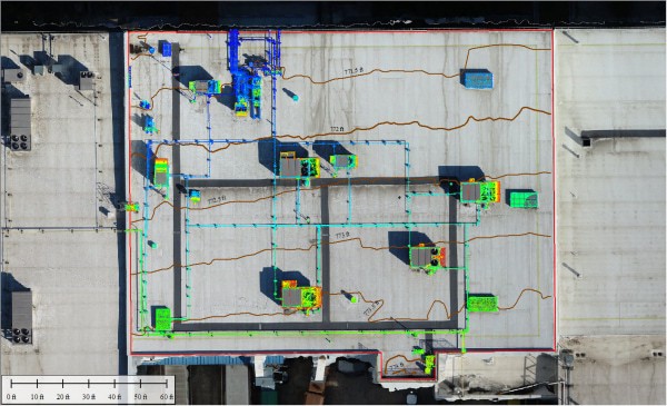
Above: An example of As-Built Linework.
Project Management and Inspections
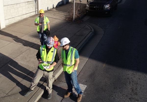
The overall responsibility typically falls on the general contractor’s shoulders. If a subcontractor needs more time to complete a job, or missed scope in their work, it’s going to fall on the general contractor to coordinate getting the project back on track. Inspections provide better understanding of what is happening on-site, allowing you to make more informed decisions about what needs to be done. In some cases, it means catching mistakes before the damage worsens. Additionally, weekly and monthly inspections with drone-based photogrammetry help in reviewing project progress and validating progress payments.
Another example includes bridge inspections. Drones are a valuable tool in the bridge inspector tool kit. The drone data collected provides the inspector and his back-office staff with video documentation of the entire bridge. Due to the detailed work involved in manual bridge inspections, this additional tool helps the engineering team review and assess potential issues with the bridge and document year on year change detection through machine learning.
The Untapped Potential
Overall, geospatial mapping is becoming a game-changer in the quality of the construction process. More and more organizations are deploying drones on their project sites and utilizing the data to provide great insights, help win more work, and deliver projects on-time and within budget.
This cutting-edge technology spots and fixes problems immediately or even before they begin. More informed decisions are made because outdated information and old data is no longer being used. In the end, it’s a win-win for all parties involved on a project’s life-cycle. Projects are delivered with fewer safety incidents, quality is not compromised for the owner, projects are finished within budget and schedules, and profits are maximized for all parties involved.
These are only a few examples of what geospatial mapping is bringing to the table. As time goes on, more opportunities will arrive for improved efficiency and better data management. We are only seeing the beginnings of how the construction process on-site will improve. The evolution of changes in the construction industry with machine learning, improved camera technology, improved drone hardware and the ability to automate data processing is going to be exciting to watch in the coming years.
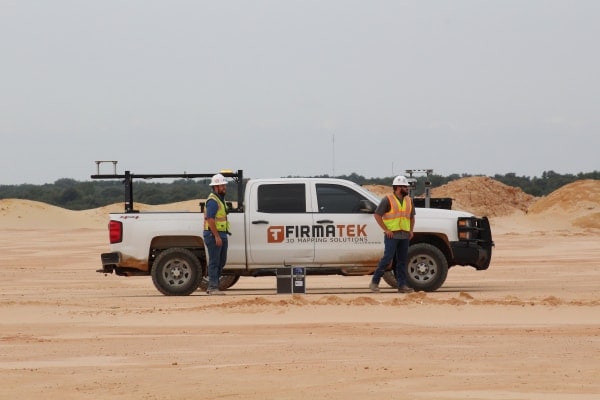
Reach out to Firmatek with any questions about how we can help your operation. With our field services team located across the country, we’re ready to deploy geospatial mapping solutions on your next project.