Providing a DYI Solution for Accurate Volumetric Calculations and Enhanced Business Planning
Firmatek equipped a paper mill client with the ability to capture more frequent data, improve the accuracy of volumet...
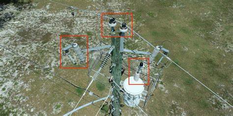
Increasing Electric Utility Survey Capacity to Prevent Wildfires
Firmatek’s ability to offer a faster, safer and more accurate inspection solution for a fraction of the cost helped...
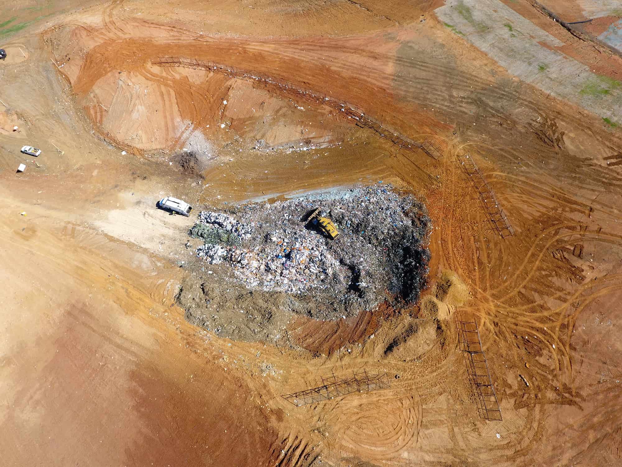
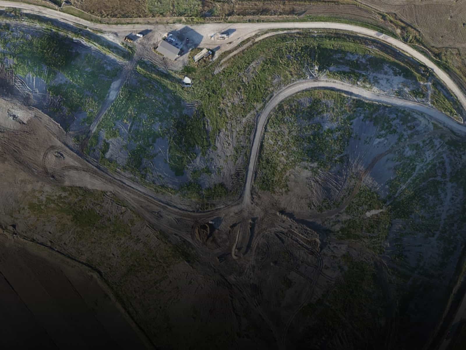
Increasing Landfill Measurements to Avoid Costly Mistakes
Leveraging regular, aerial drone landfill surveys provides timely compaction and airspace measurements, helping teams...
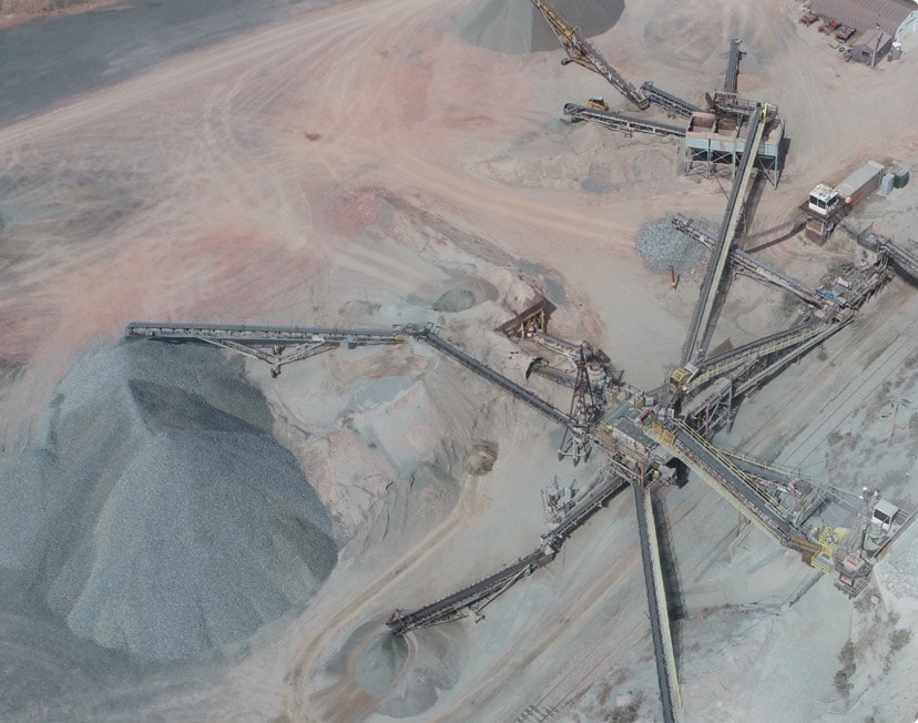
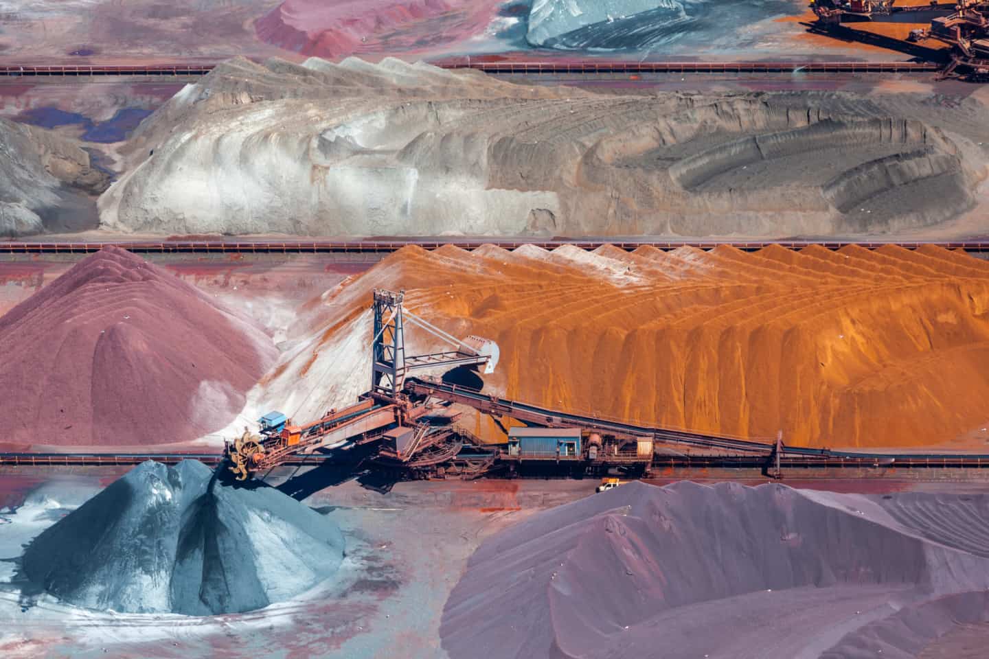
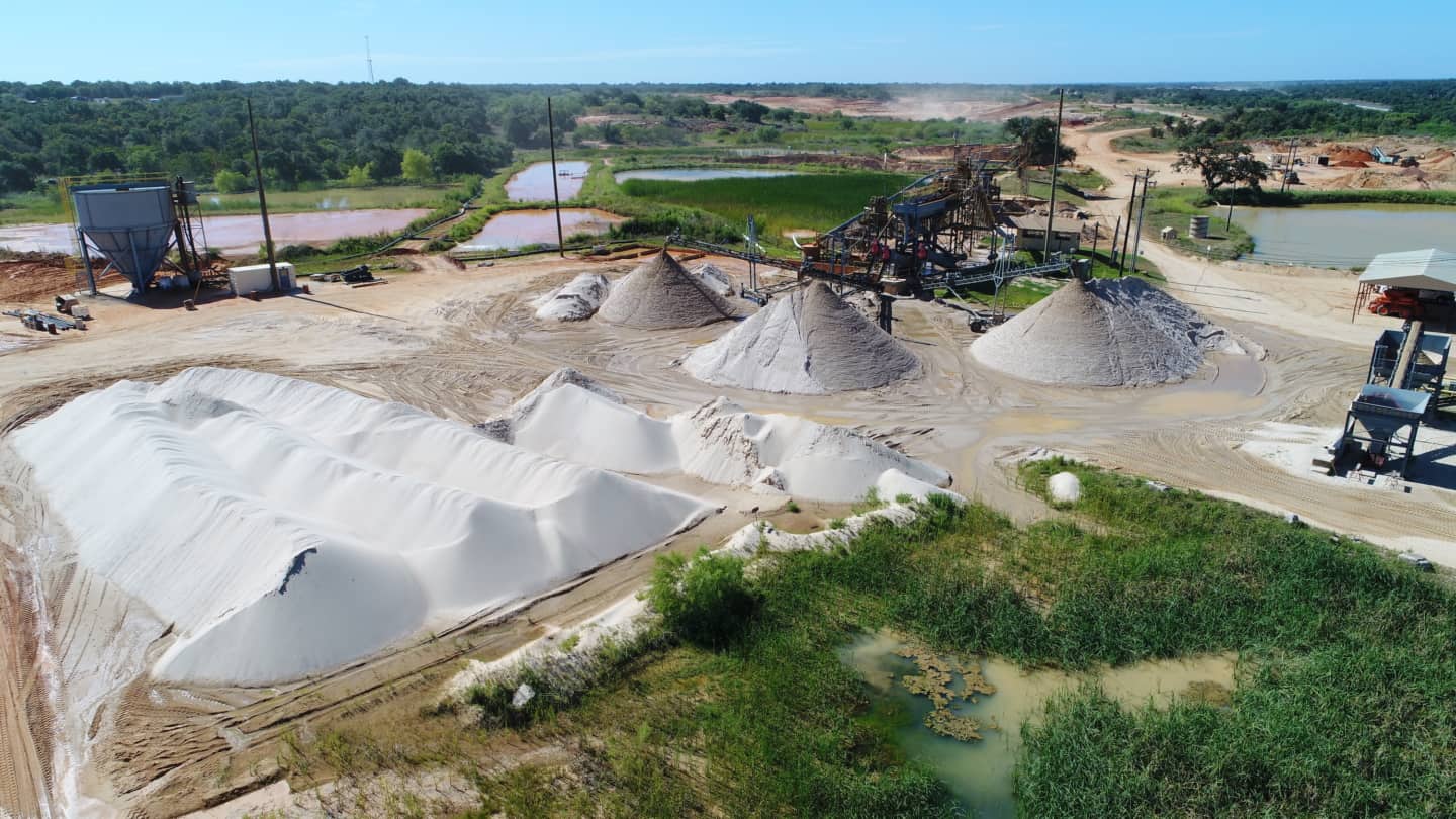
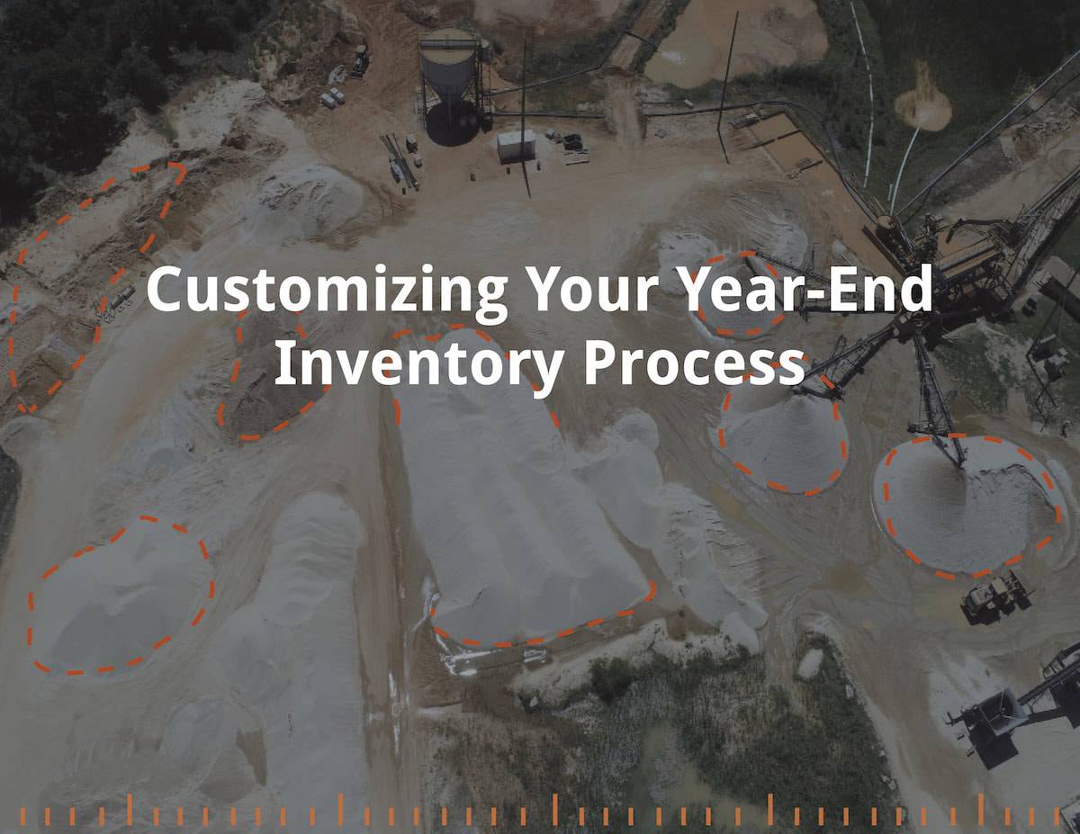
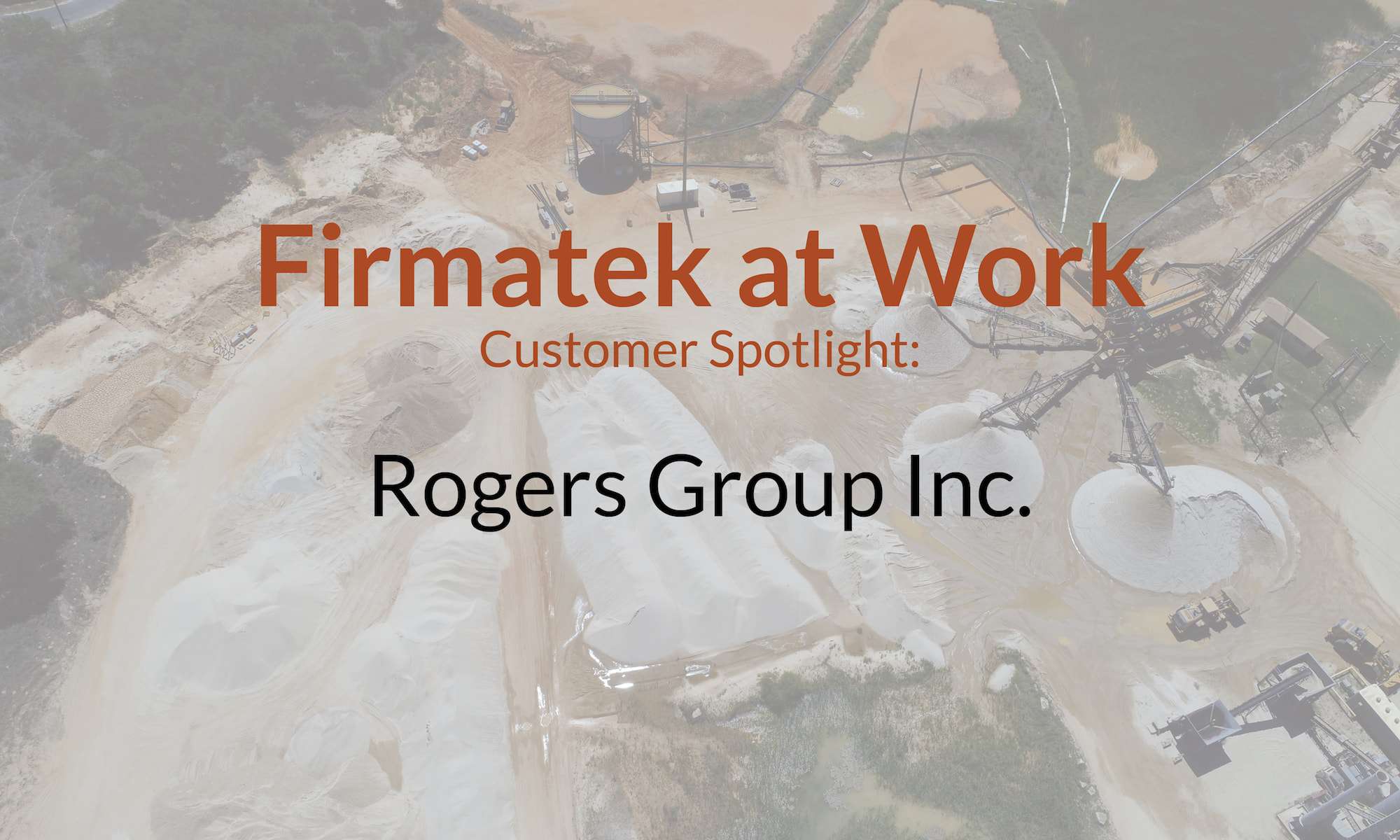
Mining & Aggregates
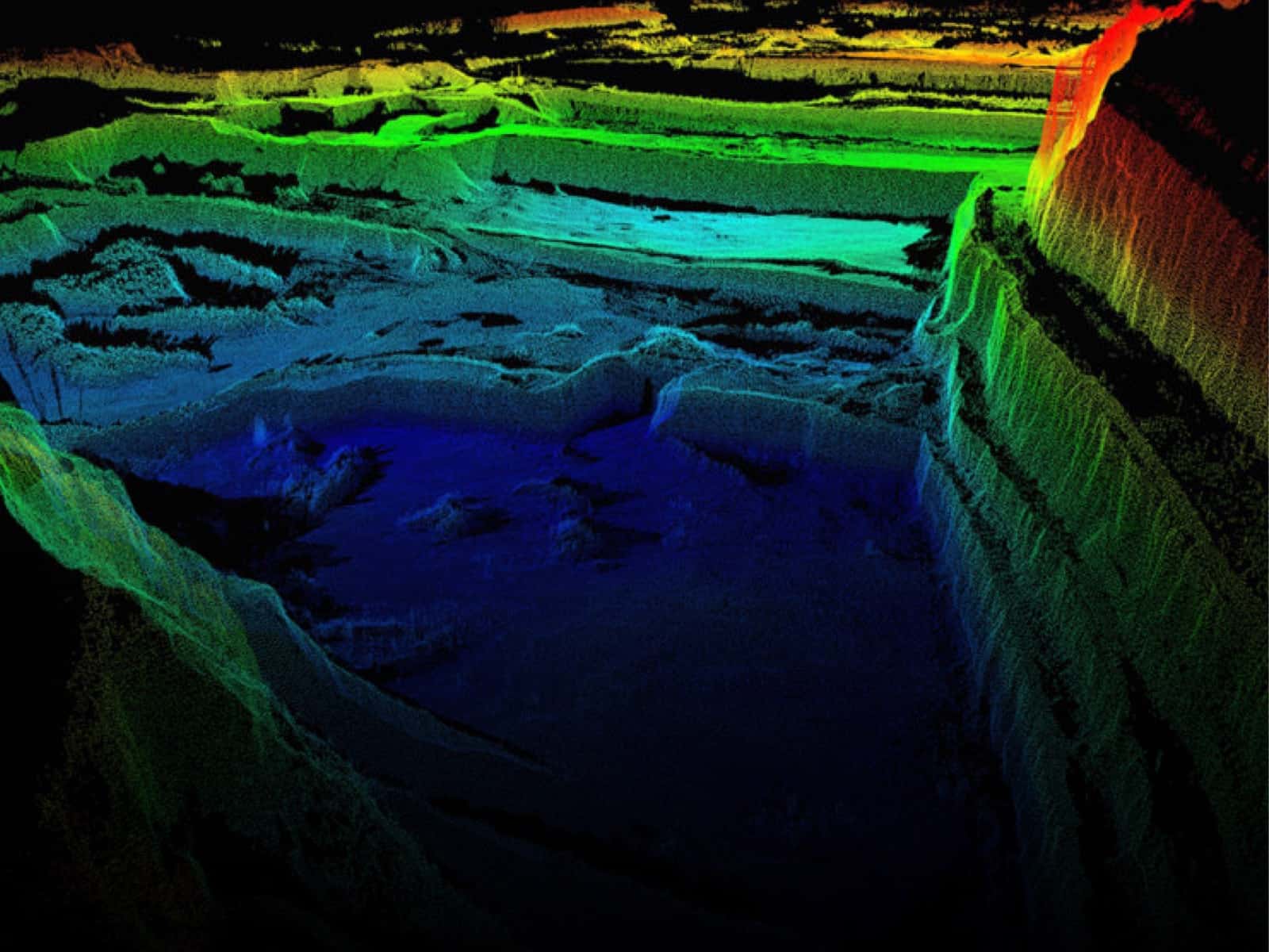
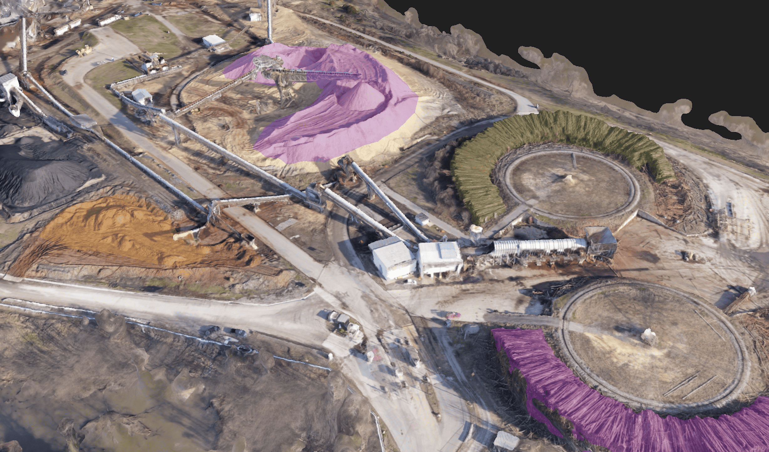
Firmatek is the national leader in stockpile measurement and inventory management for the mining and aggregates industries, providing a total solution from onsite data collection to data analysis to advisory.
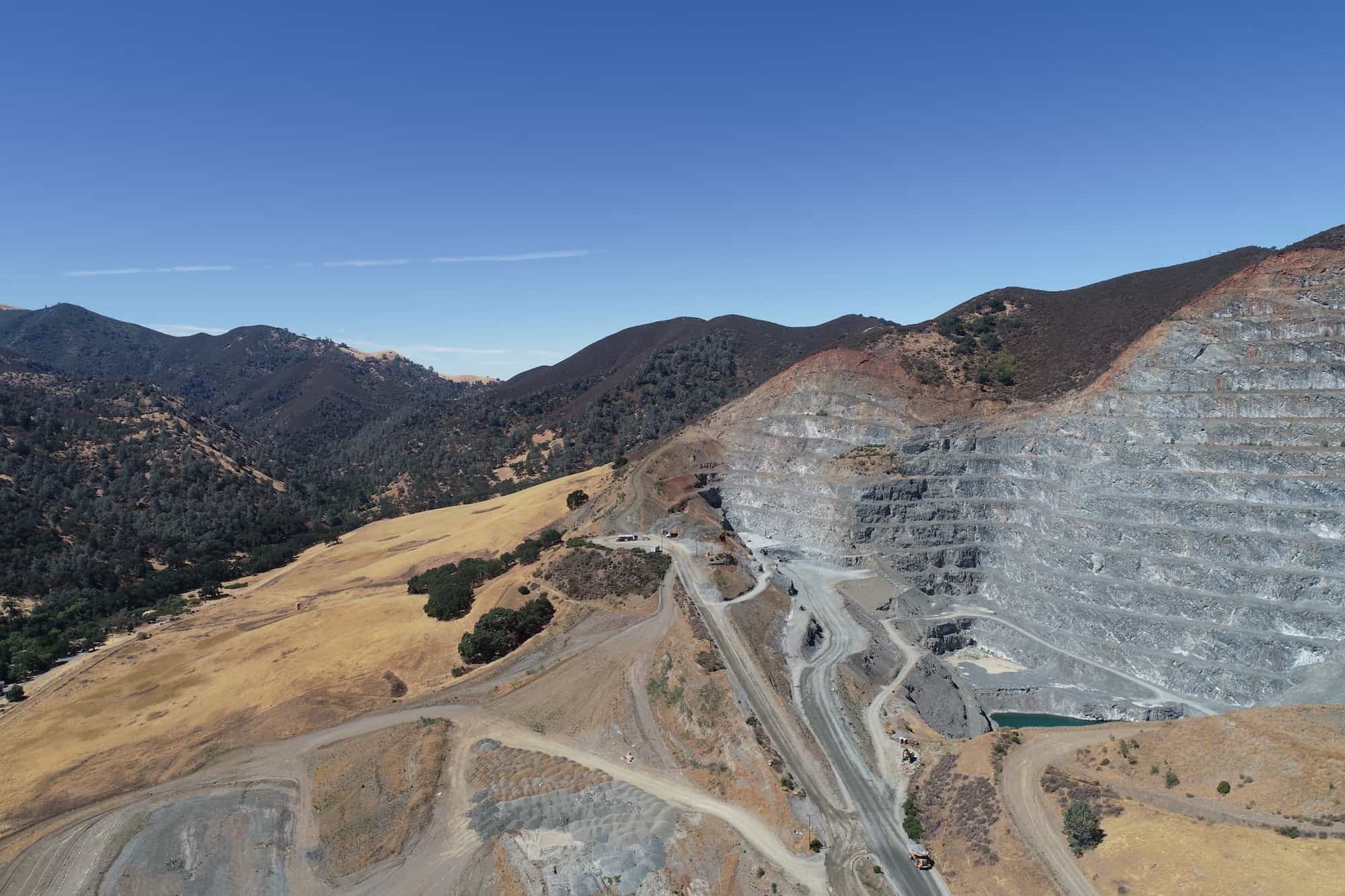
The total solution to support safe & efficient mine management
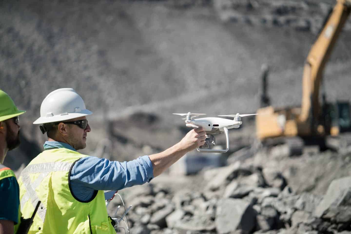
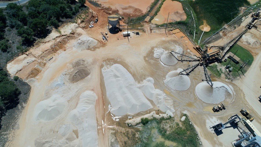
It’s important to feel confident about the state of your mine, which is why Firmatek makes it possible to execute frequent done flyovers to capture real-time aerial data on stockpiles, inventory and topography. Our teams are readily available to provide independent, third-party inspections and compile an audit history of all material inventories. Data is processed within 24-48 hours and populated in Kespry Cloud so decision-makers have the information they need to move forward quickly whether they’re in the field or at headquarters.
Our nationwide presence and advanced data solutions allow us to better serve our customers unique site needs more efficiently and economically. There is no service provider with more experience in providing measurement services to the mining industry than Firmatek.

Faster access to data and analytics with Kespry Cloud
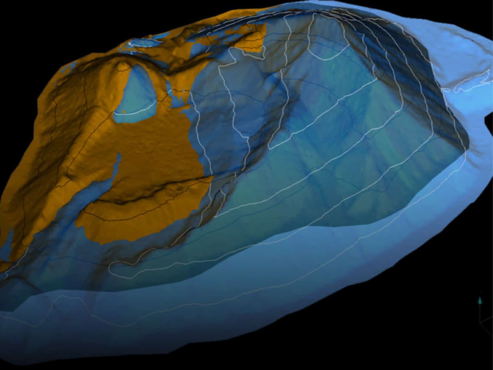
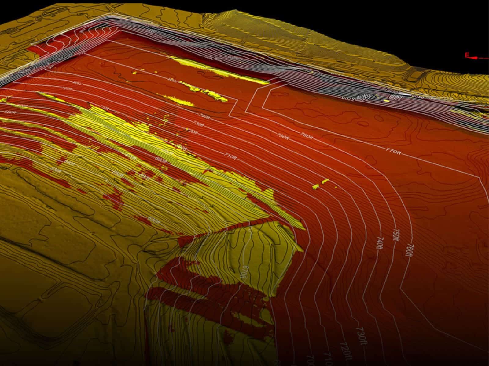
Kespry Cloud is the leading site software solution for the aggregates and mining industries. It transforms raw aerial data into dynamic 3D models and accurate and precise measurements. It offers powerful analytics and data driven insights in every part of the mining and aggregate production life cycle including exploration, planning/permitting, operations, and reclamation.
We provide your team with survey-grade data to accurately and effectively perform pit progression scanning, reserve calculations, blast volume calculations, settling pond airspace calculations, stockpile measurements and other mine operations.
Kespry Cloud makes it possible to democratize geospatial data throughout your organization, putting data and insights in the hands of more people for greater alignment and improved actionability.
Learn MoreTotal Solution
Whether you go with the full services solution, the Kespry solution, or a combination, Firmatek is the only provider to offer a complete spectrum of options.
Custom Solution
We provide ultimate flexibility. Select the hardware, reporting outputs, and processes that are ideal for your site.
Data Solution
Keep all your GIS data in one place. View, analyze, process, and track key operational data and metrics in Kespry Cloud.
Partner Solution
Our expert data processors diagnose issues, analyze data, and create client deliverables so you can improve your workflow and overall operations.
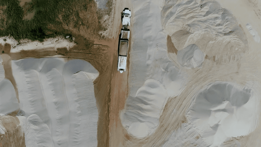
Monitor topography and track volumetric calculations
Stockpile measurements are more than a number on a balance sheet. Accurate data allows you to make informed decisions throughout the year. We take the guesswork out of the equation. With accurate data, you can see impressive improvements in operational efficiencies and profitability.
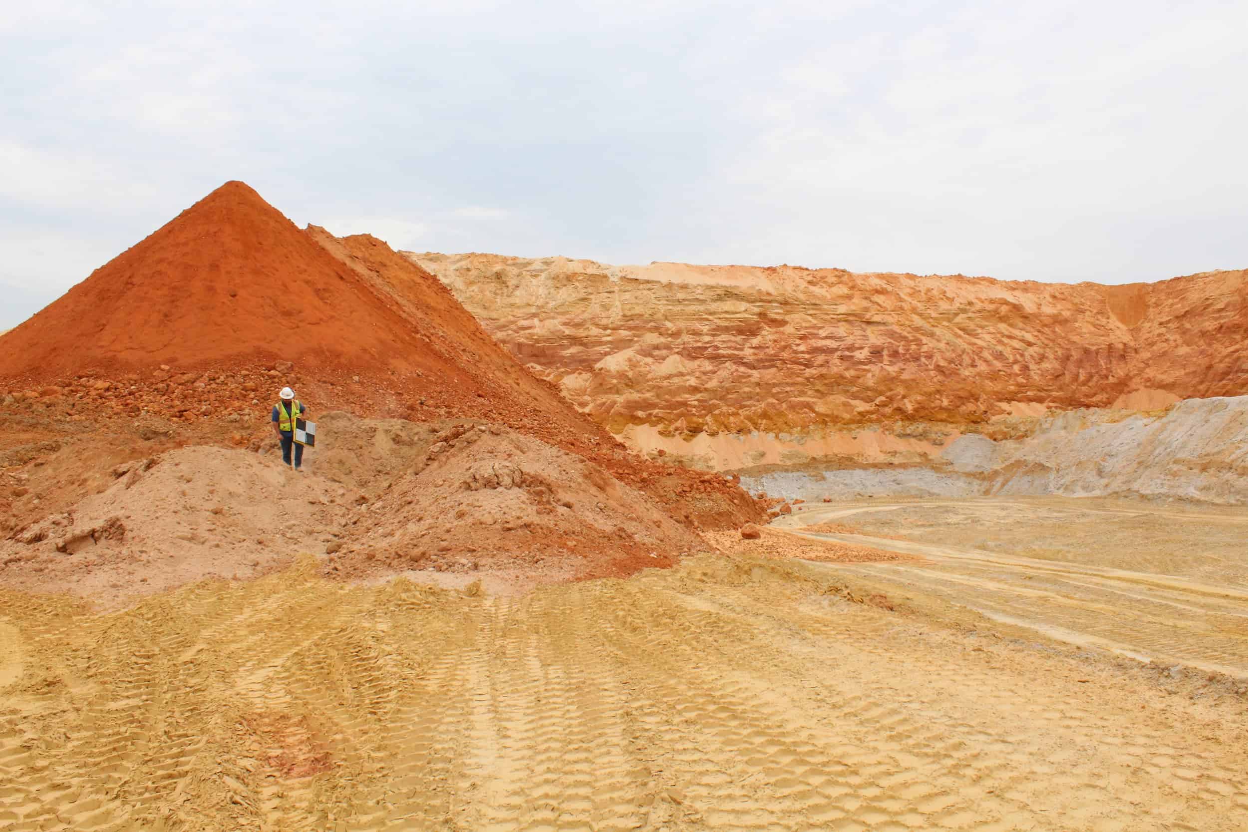
Our expert processing and engineering teams work hand-in-hand with you to reveal where and why you are seeing discrepancies and perform field audits to help diagnose issues in order to develop best practices for managing your inventory.
What’s happened since the last inventory measurement? We help you track your deliverable history so you can lay multiple inventories side by side and track pile changes. Your stockpiles move, expand and contract, and they do it on floors that are ever changing. If you have any questions about your stockpile measurements, we will spend time showing you how your stockpiles have changed.

Benefits of Firmatek for Mining
Time Saving
Faster access to real-time analytics with collection of data and processing in 24-48 hours.
Operating Efficiency
Frequent flyovers for analysis of stockpiles and inventory ensure all records of assets are consistent.
Safety Monitoring
Improved safety on sites by monitoring traffic, road conditions and ensuring areas are clear before a blast and post-blast.
Long Term Recording
Utilize the Kespry Cloud to track historical site data over time for accurate site planning and financial analysis.
Asset Tracking
Aerial imagery can keep track of their large, expensive equipment and other assets in order to ensure accountability.
Streamlined Audits
Readily available, independent third-party inspections with audit history of all material inventories.
Deliverables
Firmatek specializes in 3D point clouds, orthomosaic imagery, LAS point clouds, cut/fill calculations, stockpile volumetrics, and digital elevation models and contours.