What Makes Firmatek Cloud Unique: Firmatek Cloud Series Part 3
By Lauren Elmore, Chief Executive Officer In the last five years, the industries we serve have been transformed by te...

Blog Series: What’s Your Why, Agha Zain
By Agha Zain, Senior Director of Product Management My Why I have always been interested in the psychology and hist...
Starting the New Year with Firmatek Cloud: Firmatek Cloud Series Part 2
By Lauren Elmore, CEO of Firmatek. The new year always brings a sense of new beginnings, fresh starts, and new
...
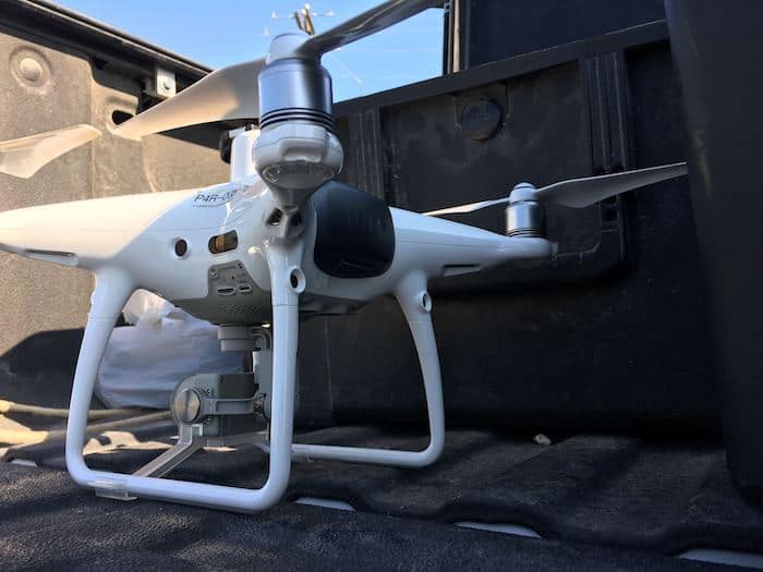
2020 Predictions: The Future of Drones in the Aggregate Mining Industry
Technology is continuing to change the game in the aggregate mining industry and we don’t anticipate that stopp...
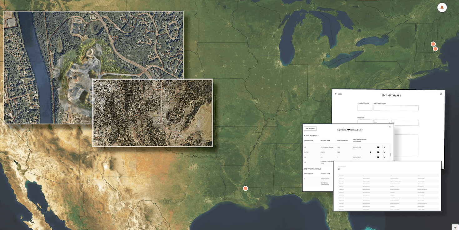
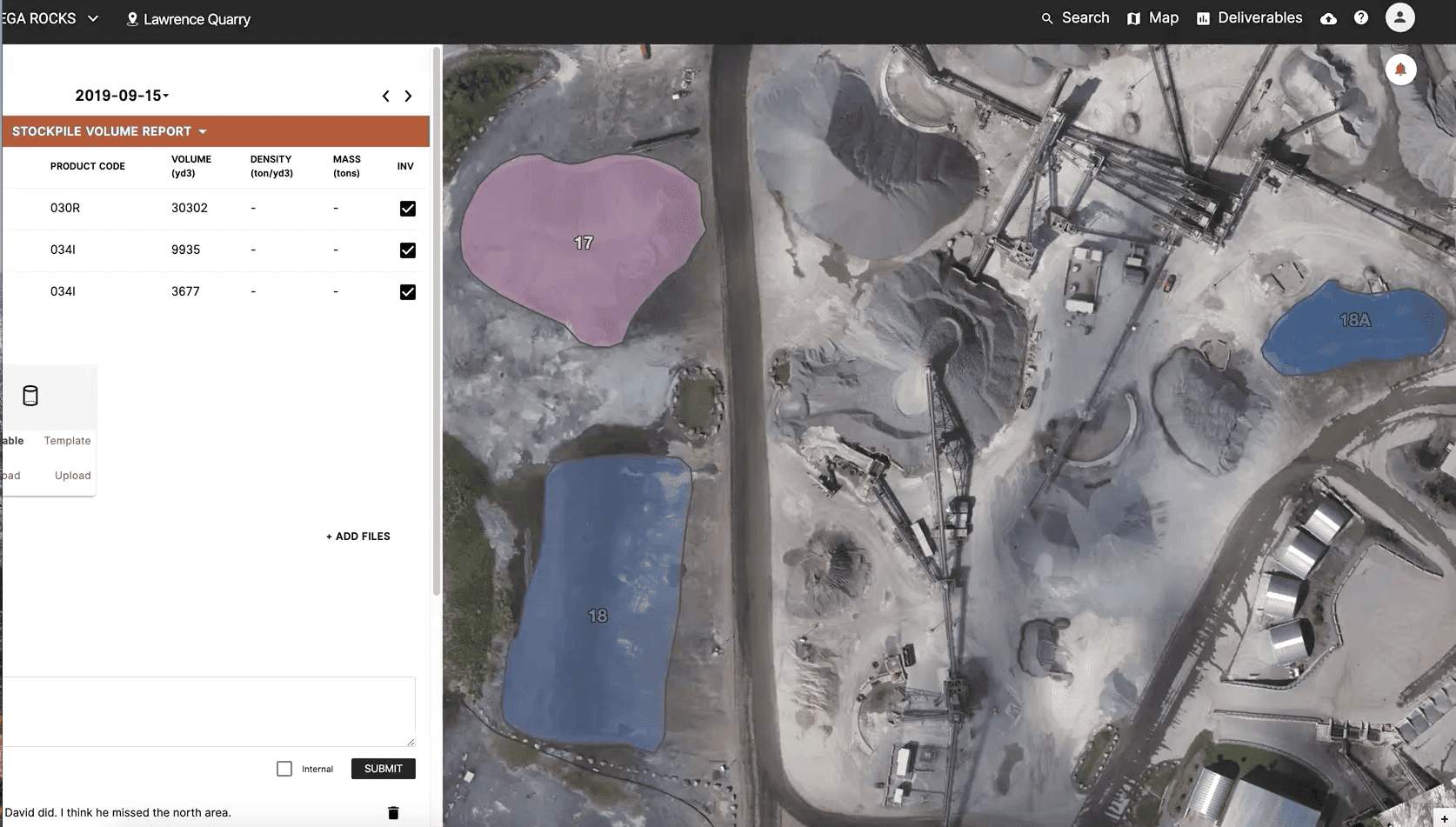
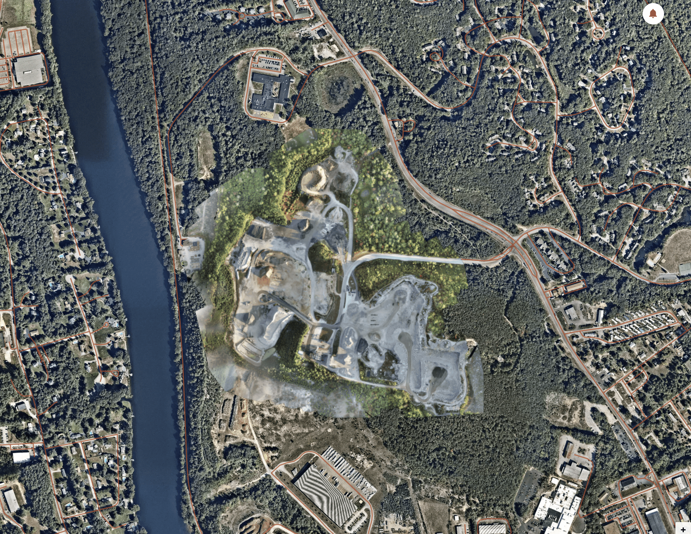
Why Firmatek Cloud: Firmatek Cloud Series Part 1
By Lauren Elmore, President of Firmatek Why Firmatek Cloud? Why was this something that we invested our time, our mon...
Firmatek Launches Firmatek Cloud with Premium Features for Industry Clients
SAN ANTONIO, TEXAS —Firmatek, the industry leader in stockpile measurement and mapping for the aggregate mining ind...
2020 Industry Predictions
By Andrew Maximow, Chief Drone Officer With peak season winding down, it is time for Firmatek to start planning, gear...
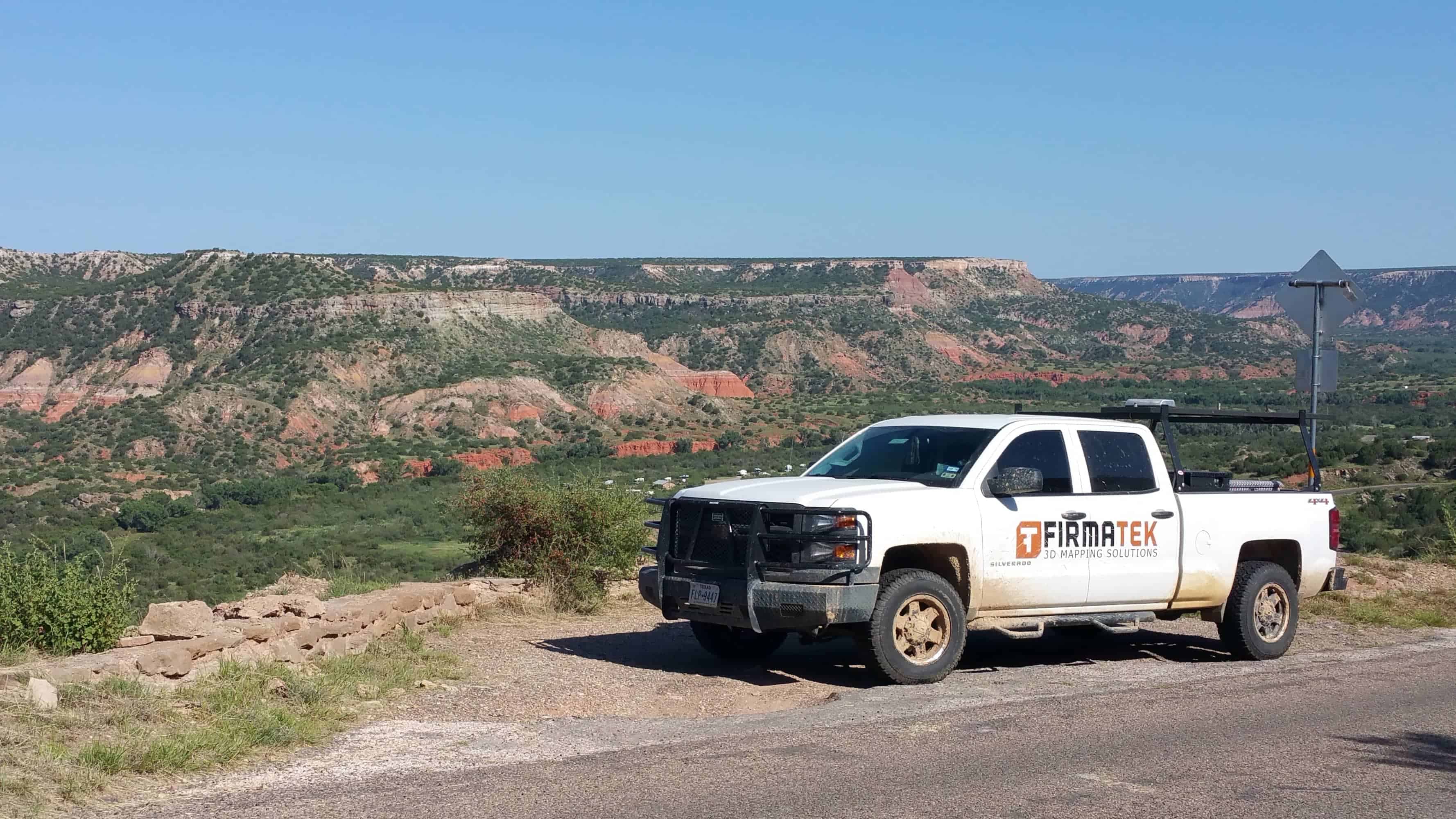
Life on the Road as a Geospatial Field Technician
By Isaac Chantos, Geospatial Field Technician and Team Leader Firmatek Geospatial Field Technicians live a life diffe...
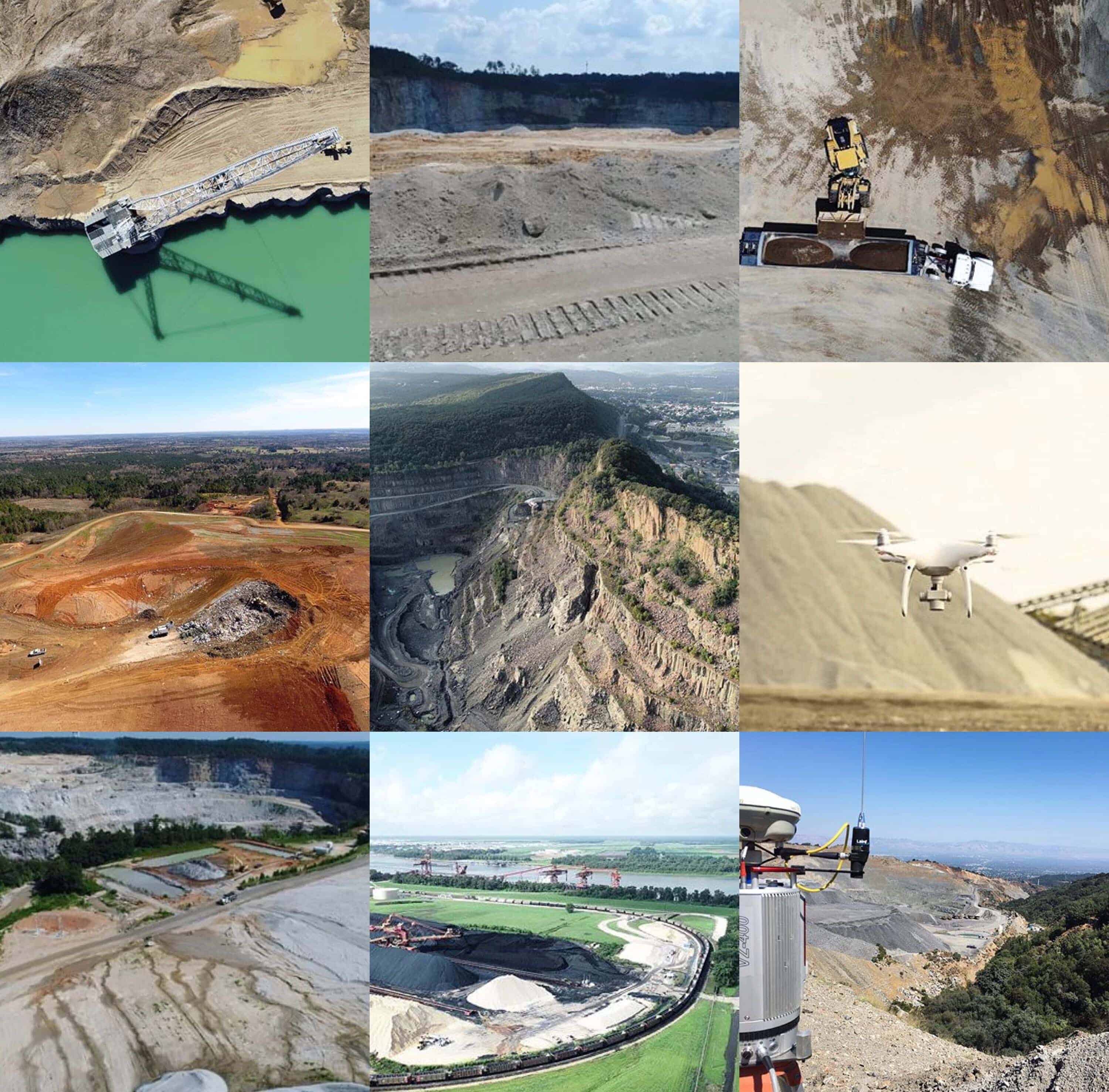
Improving Communities with Drone Analytics and Insights
By Andrew Maximow, Chief Drone Officer After reading about many stories and events shared during National Drone Safet...
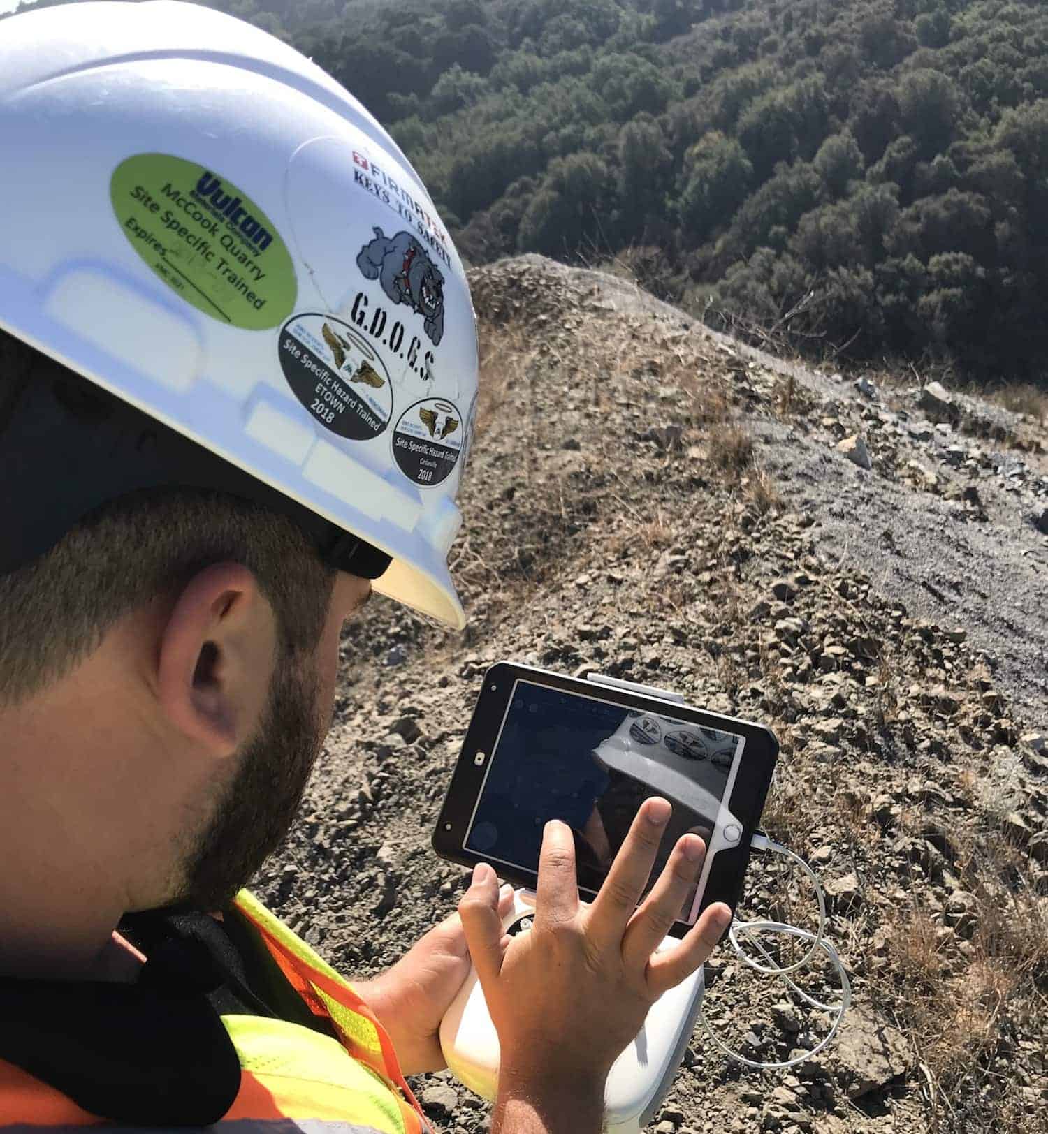
Work Can Be Ruff, Be Sure to GDOGS
By Chris Mauldin, Senior Operations Manager. The FAA has declared this week National Drone Safety Awareness Week and ...
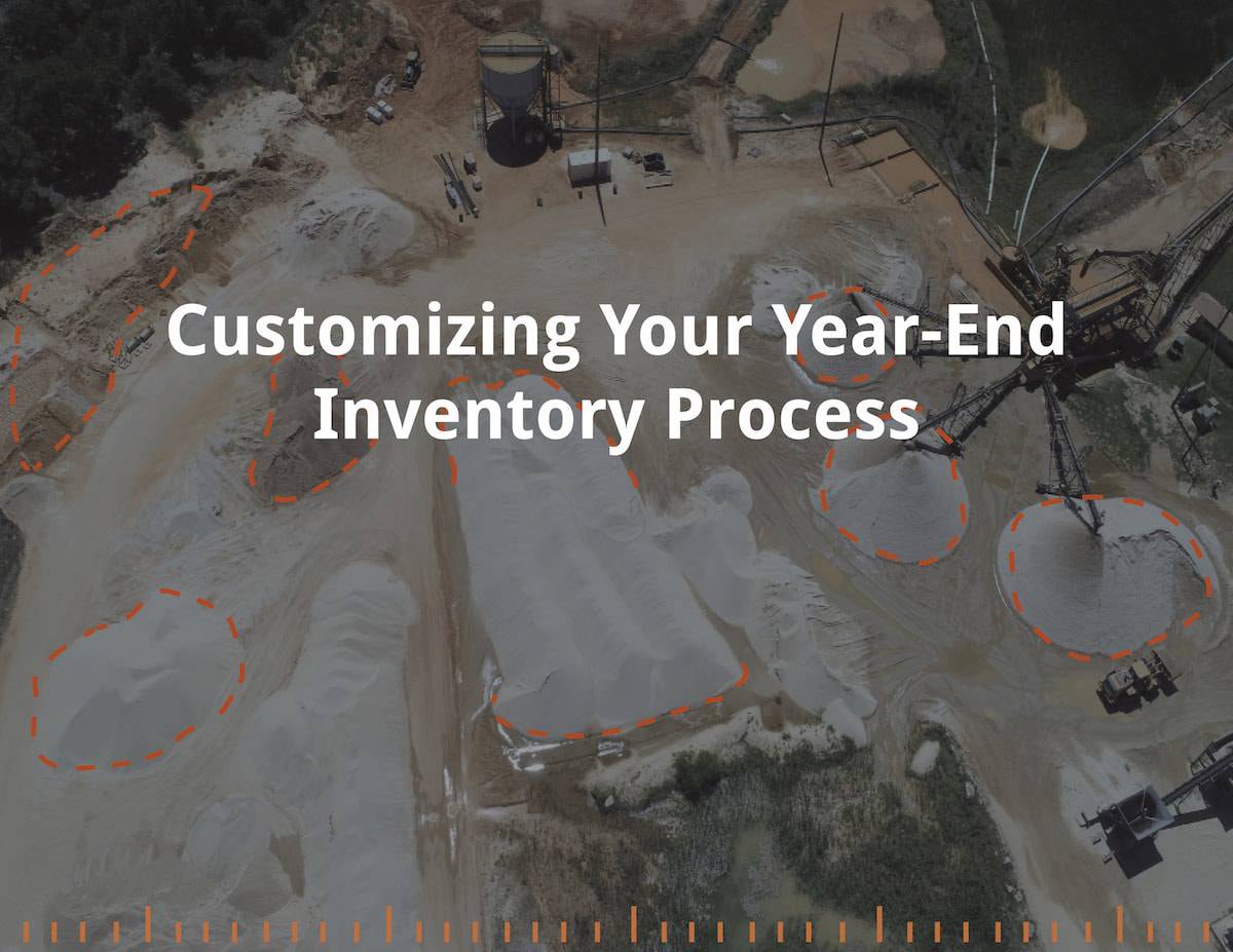
Customize Your Annual Inventory Process with Firmatek
By Lauren Elmore, President of Firmatek Annual inventories are the most important inventories we do for our clients e...
Blog Series: What’s Your Why with Kyle Houston
By Kyle Houston, Project Engineer Nearly three years ago, I joined the Firmatek team. I actually started out as a