By Caleb Cass PE, Director of Engineering.
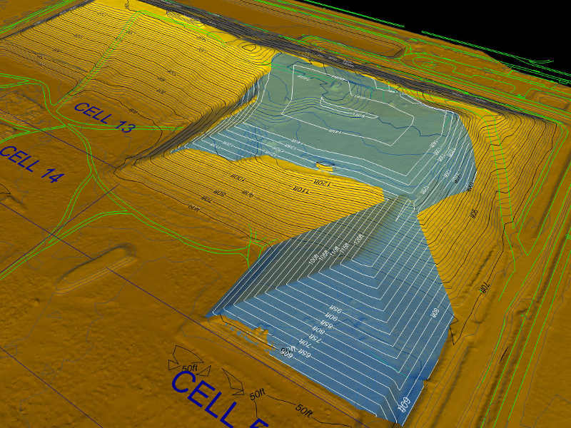
With the recent innovations brought about in drone technology, procuring and using digital geospatial data is quickly becoming a necessary and valuable commodity. This paper will look into the geospatial data that is collected and produced for the operation, permitting, tracking, and planning of solid waste sites. This includes technologies such as laser (Lidar) scanning, drone photogrammetry and Lidar, GPS surveying, and digital design les produced in programs like AutoCAD and Microstation. All of these digital data types are important for managing landfill operations and planning activities. However, there is still confusion surrounding digital data and how it can be used. Asset owners, consultants, and service providers all seek clarity about different types of digital data and how they can be used in conjunction with each other and integrated to provide useful information, track metrics and produce deliverables.
Readers will gain a basic understanding of geospatial concepts related to landfills, including coordinate systems and the importance of survey control. They will also learn the differences and similarities between data formats and for what they are effectively used for. Finally, we will go over the need for and process of combining data from various vendors and different technologies to produce actionable results.
Click here to download the full case study by Caleb Cass PE, Firmatek Director of Engineering.


