By Andrew Maximow, Chief Drone Officer.
Drone-based technology is making a significant impact in our world, with adoption soaring in support of tragic events like the California wildfires. On November 19th, I was privileged to represent Firmatek in the massive, drone-based, data collection effort led by the Alameda County Sheriff and key personnel from a variety of public safety agencies. GIS mapping data for the city of Paradise, California was publicly released by Butte County two days later. This data will help those displaced as a result of the CAMP fire in northern California view the status of their property and assist in the insurance claims process. The data is also actively being used by Public Safety officials, Search and Rescue (SAR) teams, public utilities companies, and many other agencies and organizations involved in the post-fire activity supporting the devastated community in Paradise, CA.
Now that the data has been made public, I would like to share my perspective on the largest, multi-agency, drone-based mapping effort in history! I was honored to support and assist in this effort with many of our finest, dedicated public servants.
I arrived in Paradise at 7am Monday morning, after getting the call from Dr. Greg Crutsinger Sunday night. I barely slept Sunday, as I was constantly checking and updating my drones and charging spare batteries.

The devastation was shocking.
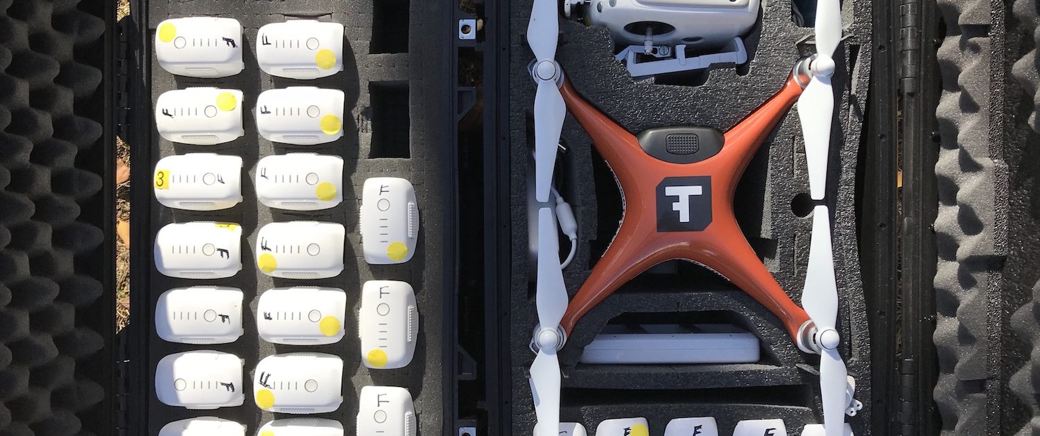
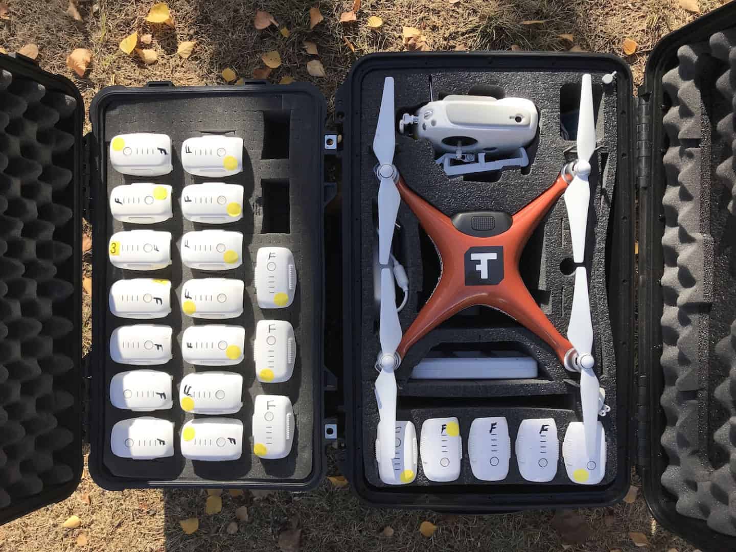
Efforts were in full swing to rebound as quickly as possible from recovering human remains, searching for missing people, and clearing debris, to restoring electrical power throughout. I spent the day supporting Dr. Greg and the drone team that consisted of several public safety agencies trained in the use of drones. The FAA issued a TFR (temporary flight restriction) in the area allowing approved drones to fly below 300’ AGL. Dr. Greg organized the agencies into 15 teams equipped with DJI Phantoms 4s, spare batteries, software, and maps.
My role on Monday morning was to help onboard new drone teams in the field assisting in training, tech support, and data collection. My first assignment was to ride along with the Stanislaus County Sheriff’s Dept. I was impressed with their knowledge and expertise using drones. I helped with configuration, camera settings, and setting flight planning parameters, specifically using Drone Deploy and the Hangar Autopilot app.
There was a large area and a lot of data to collect. The approach was to split Paradise, CA into zones, with each team assigned to a zone. The teams had the following objectives:
- Use drone-based photogrammetry to create a map of every zone with a resolution of 1-2 inches/pixel.
- Create a 360 pano corresponding to every zone.
- Collect geo-referenced video for every major road and side street.
The large ortho maps would be stitched together, combined with property boundary lines and a detailed address layer of information in a GIS database and include links to each of the panos. The video content would be uploaded side by side with a map showing the path of the drone that would be indicated by a transect line across the map. This added geospatial context to the video.
To put this into perspective, the city of Paradise covers about 10,000 acres and has a population of approximately 25,000. Anticipated rains were in the forecast for Wednesday, Nov 21. Dr. Greg and the drone teams had 4 days to collect, process, and publish the data before the weather was expected to rearrange the landscape. Truly unprecedented scale!
Here’s a summary of the unprecedented scope of this effort:
17,000 acres mapped (1-2 inch/pixel resolution)
30,000 photos/day
15 drone teams staffed by several public safety agencies
7 x 24 data processing by Drone Deploy
150-200 panos collected and process via Hangar Autopilot software
Challenges
Taking on a project of this scale comes with many challenges. Overall, the technology worked flawlessly and safely. At this scale, the biggest challenges were logistics oriented. All 15 drone teams had to coordinate with each other to use the same apps with the same settings and configuration parameters. The first challenge was on the fly communications – consistency and scale needed to be over-communicated to the teams.
The second challenge was collecting all of the data via SD cards. Let’s do some math:15 teams x 12 zones x 3 types of data (mapping, panos, video) over 2 days of data collection, equals dozens of SD cards. Dr. Greg’s mantra was “keep it simple, keep it simple.” He assigned 2 individuals to collect all SD cards from the teams and immediately bag them in a ziplock bag with a label to hand over to a data processor. The data processor’s job was to copy data from the SD cards onto a laptop with dual backup on external hard-disks in an efficient manner.
The third challenge was to figure out a way to process all of the data. Despite having emergency WiFi setup, it was impractical to upload data to anyone who could process at such a large scale. Quick turnaround was critical! The call was made to Jono, co-founder of Drone Deploy in San Francisco, who without hesitation agreed to process the data. The problem was getting the data to them after it was collected. Runners were assigned to deliver the data via “sneaker net.” I was given the task to deliver the hard-disk (> 250 gigs of data) to the Drone Deploy office before midnight Monday for overnight processing.
In summary, the drone technology greatly benefited the Paradise, CA recovery efforts following the devastating wildfires. Working together with 15 drone teams from several different agencies, we successfully mapped 17,000 acres, captured 30,000 photos per day, and quickly processed the collected data. It was impressive to see the California and drone communities come together in this time of need.
As always, there is more work to be done. We were honored to be a part of the team this time around and look forward to continuing to work to improve the drone ecosystem to make efforts of this scale easier in the future.
Agencies involved in this drone-based mapping effort:
Alameda County Sheriff, Menlo Park Fire, Stockton Police Department, Contra Costa County, Stanislaus Sheriff, Union City Police Department, SFPD, La Honda Fire. DJI, DroneDeploy, Hangar, Survae were the companies helping with equipment and data. ScholarFarms (Dr. Greg) led the data handling.


